October 11, 2026 · 9 min read
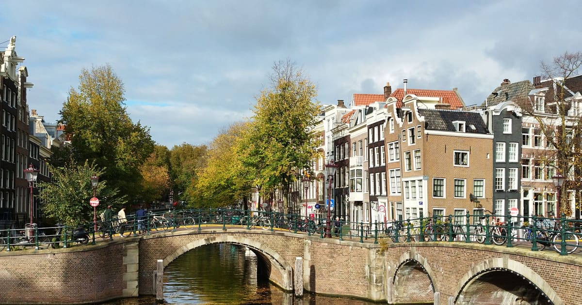
Amsterdam Anne Frank Walking Tour
From the Hollandsche Schouwburg through the old Jewish Quarter, past the Dockworker and the Dam, to the Anne Frank House on the Prinsengracht.
589
October 9, 2026 · 11 min read

 A barátaid ingyen sétálnak
Minden túra ütemezett csoportos sétaként is fut, amelyhez csatlakozhatsz az appban.
További hangos túrák itt: San Miguel de Allende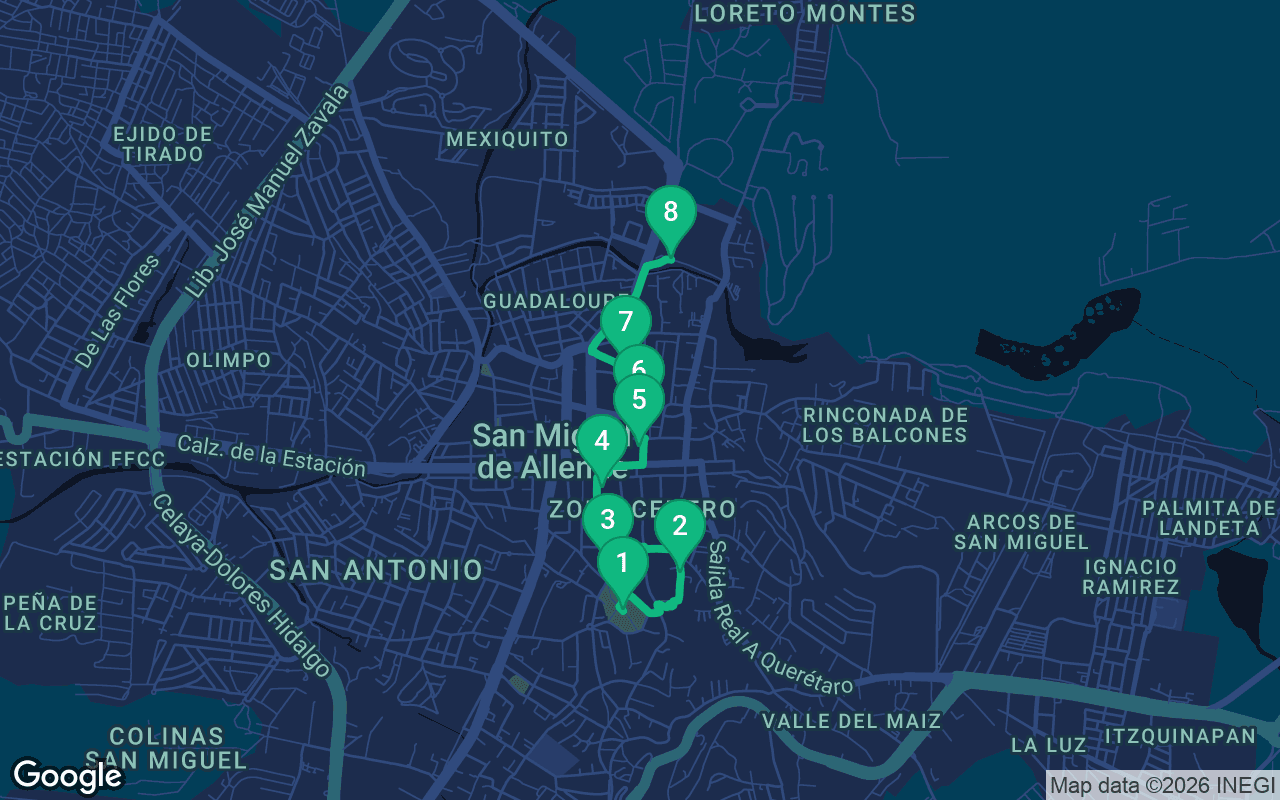
Nagyjából 3 km, körülbelül 44 perc kényelmes tempóban.
Ez a séta hangosvezetéssel is elérhető
Nyomj a lejátszásra az első 3 megállónál, és itt helyben meghallgathatsz egy 30 másodperces részletet a narrációból. Az alkalmazásban a bevezető és ez a 3 megálló teljes hosszában ingyenes, és mindegyik hangjelzéssel szól, amint megérkezel. A teljes narrált túra mindössze $8.99 összegért a tiéd lehet, ami egy egyszeri, örökre szóló vásárlás.
Működik Garmin, Komoot, Strava, OS Maps és bármilyen GPX alkalmazással.
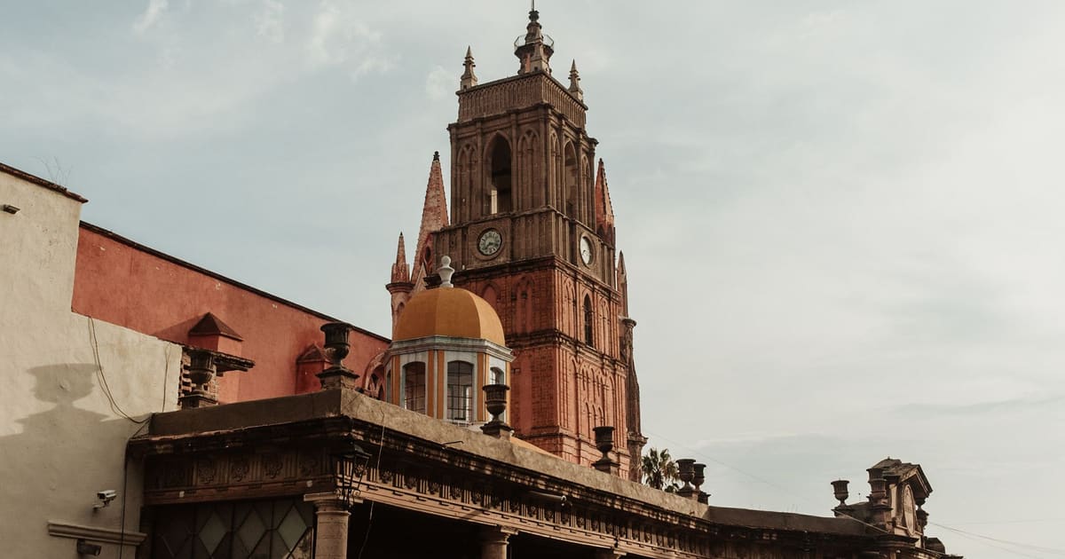
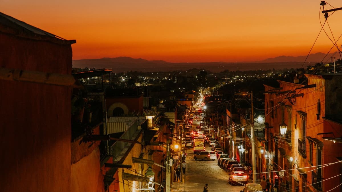
San Miguel de Allende is a hill town of cobbled streets and ocher, red and saffron walls, and above all of it rise the pink spires of the Parroquia, one of the most recognizable churches in Mexico. This walk is the classic route through the old town. It begins in the shade of Parque Juárez, climbs to the spring where the town was born, comes up Calle Aldama for the famous view of the spires, and then crosses the main square and passes the great churches and the crafts market on the way north to Fábrica La Aurora, an old textile mill now full of art. It is about 3 kilometers, just under 2 miles, and one of the most photogenic self-guided walking tours in the country. Bring a camera and good shoes.
Allow about an hour and a half at a stroll, and half a day if you like to browse the market and the galleries at the end. San Miguel sits at about 1,900 meters, over 6,200 feet, and the streets tilt up and down the hillside, so pace yourself, especially on the short, steep climb to El Chorro near the start. The cobblestones are rounded and uneven and the sidewalks are narrow, sometimes only one person wide, so wear shoes with good grip and watch for curbs and the odd missing stone. The sun is fierce at this height even on cool days, so bring a hat, sunscreen and water. Mornings are quiet and the light is soft. Late afternoon is when the Parroquia glows and the main square fills with people. From June to September, short heavy storms often roll in during the afternoon and turn the steeper streets into streams, so start early in those months. The churches on this route are places of worship, so dress with respect and stay at the back during Mass. The galleries and studios at La Aurora keep their own hours, so check before you go.
Start in the deep shade of Parque Benito Juárez, the town's biggest park, laid out early in the twentieth century in the formal European manner that was fashionable in Mexico at the time. A stream runs through it under little bridges, paths wind between fountains and flower beds, and the tall trees overhead are full of birds. Listen, and look up. Egrets and herons nest high in the branches, white shapes against the green, and the noise in the nesting season can be tremendous. This is where San Miguel comes to breathe: joggers loop the paths in the early morning, children play on the swings, and on weekends families spread out on the grass and teenagers shoot hoops on the basketball courts. It is also a good place to adjust to the altitude before the climbing starts. Walk slowly through the park, find a bench for a minute, and notice how the land rises to the east, because that is where you are going next. When you are ready, leave the park at its upper, eastern end and follow the lanes and steps uphill to the old public wash basins, about six or seven minutes. This is the steepest part of the walk, so take it at your own pace.
Catch your breath here, because this is where San Miguel began. El Chorro means the spout, and the spring that bubbles out of this hillside is the reason the town stands where it does. In the 1540s a Franciscan friar, Juan de San Miguel, founded a mission in the valley below, near the river, with Indigenous converts, many of them Otomí. Water and safety were both problems down there, and the settlement soon moved up to this reliable spring. The local legend says the friar's dogs went missing and were found here, drinking. In the 1550s the viceroy ordered a proper Spanish town founded on the spot, to guard the road that carried silver south from the mines of Zacatecas. That road ran through the lands of peoples the Spanish lumped together as Chichimecas, nomadic and semi-nomadic nations who fought the invasion of their territory for decades, and San Miguel was one of the towns built to hold the line against them. Look at the long rows of stone tubs under the roof here. These are the lavaderos, public wash basins fed by the spring, and some local families still come to scrub their laundry by hand. Be discreet, and ask before taking anyone's picture. From here, follow the lane north, then turn left and head west for three blocks until you reach Calle Aldama, about six minutes. Turn left onto Aldama for a few steps, then turn around.
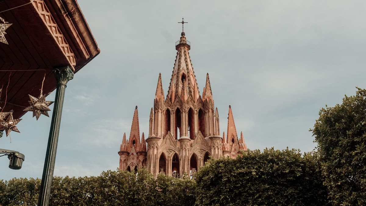 Now look north. This is the shot on half the postcards in town: a narrow cobbled street running uphill between painted walls, with the pink spires of the Parroquia rising at the end like something from a storybook. Stand in the middle of the street early in the morning and you may have it almost to yourself. Calle Aldama is one of the loveliest streets in San Miguel. Its houses present plain, colorful faces to the street, terracotta, mustard, deep red, with tall wooden doors and iron grilles over the windows, and nearly all the life happens behind them, in courtyards you only glimpse when a door swings open. Look at the doors as you walk. Some have brass knockers shaped like a small hand holding a ball, a common sight across the town. Bougainvillea spills over the rooftops in season. The street is named for Juan Aldama, a San Miguel officer who joined the uprising of 1810, a story told on our other walk in town. Walk up Aldama slowly, letting the spires grow taller with every step. At the top, jog left and follow the side of the church round to the main square in front of it, about five minutes in all.
Mit tartalmaz
Túráink meditatívnak és magával ragadónak készültek: mozogsz, és egyszerűen hallgatod. Együtt mindig jobbak, és az alkalmazás szinkronban játssza le a narrációt, így te, a párod és a barátaid ugyanabban a pillanatban hallhatjátok az egyes megállókat.
Stand in the Jardín, the main square, with its clipped laurel trees and its iron benches, and look up.
A megálló folytatása a teljes hangos túrában hallható.
Stop in the little garden in front of the church and look at the facade, because there is a lot of it. This is the churrigueresque style at full volume, the most extravagant form of Mexican baroque, built in the late eighteenth century.
A megálló folytatása a teljes hangos túrában hallható.
This church belongs to the Oratorians, the congregation founded by Saint Philip Neri, who came to San Miguel early in the eighteenth century and built their oratory here.
A megálló folytatása a teljes hangos túrában hallható.
The crafts market fills a long, stepped alley that runs downhill beside the town's main food market, and it is a fine place to browse even if you buy nothing. Walk down slowly and look at the work.
A megálló folytatása a teljes hangos túrában hallható.
The walk ends at Fábrica La Aurora, a cotton mill that opened in 1902 and gave its name to the whole neighborhood around it.
A megálló folytatása a teljes hangos túrában hallható.
Tedd meg ezt a sétát másokkal a következő tervezett túrán.
Körülbelül 3 km, nagyjából 44 perc kényelmes tempóban · 8 megálló
A barátaid ingyen sétálnakOctober 11, 2026 · 9 min read
From the Hollandsche Schouwburg through the old Jewish Quarter, past the Dockworker and the Dam, to the Anne Frank House on the Prinsengracht.
October 11, 2026 · 11 min read
From Van Houten's street by the Vondelpark past Leidseplein, the Rijksmuseum passage and the famous canal bench to the Anne Frank House.
October 11, 2026 · 10 min read
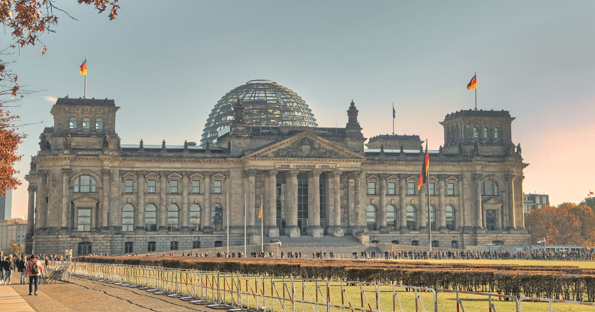
Follow the last days of April and May 1945 from the Anhalter Bahnhof ruin past the Gestapo site and Brandenburg Gate to the Moltke Bridge and the Reichstag.