October 11, 2026 · 9 min read
Amsterdam Anne Frank Walking Tour
From the Hollandsche Schouwburg through the old Jewish Quarter, past the Dockworker and the Dam, to the Anne Frank House on the Prinsengracht.
589
October 9, 2026 · 11 min read

 친구는 무료로 함께 걸어요
모든 투어는 앱에서 참여할 수 있는 정기 그룹 걷기 모임으로도 운영됩니다.
Kaohsiung의 오디오 투어 더 보기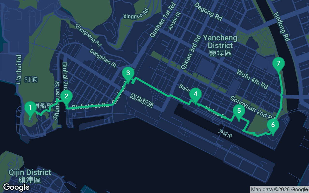
약 3.7km, 여유로운 페이스로 대략 59분 소요.
음성 가이드가 포함된 투어입니다
처음 3개 스톱에서 재생을 누르면 여기에서 나레이션을 30초 데모로 들을 수 있습니다. 앱에서는 인트로와 이 스톱들을 무료로 끝까지 들으실 수 있으며, 각 스톱에 도착하면 알림음이 울립니다. 전체 오디오 투어는 $9.99에 한 번만 구매하시면 평생 소장하실 수 있습니다.
Garmin, Komoot, Strava, OS Maps 및 모든 GPX 앱과 호환됩니다.
Kaohsiung is a harbor that grew a city around it, and this walk follows that story along the water. It begins on a green headland at the mouth of the port, at the red-brick house where British consuls once watched the ships come in, then drops down to the ferry for Cijin Island and walks through Hamasen, the neighborhood the Japanese built on reclaimed land around their railhead. From the old port station it crosses the railway lawns to the warehouse galleries of Pier-2, follows the light rail past the design shops of the Dayi row, and finishes beside the Love River, among the striking new buildings of the Music Center and the cinema on the riverbank. It is about 3.7 kilometers, a little over two miles, and one of the most varied self-guided walking tours you can take in southern Taiwan.
Allow two and a half to three hours at a relaxed pace, more if you ride the ferry across to Cijin or linger in the galleries. The one real climb comes first. The consulate stands on a hilltop, and the classic way up is an old stone stairway from the harbor road, short but steep, with uneven steps that feel steeper in the heat. If stairs are hard for you, take a taxi up the road to the top instead. After that the walk is downhill and then flat for the rest of the way, on harbor promenades and park paths. Kaohsiung is hot and humid for much of the year, the sun is strong, and the waterfront has long stretches with little shade, so start early in the morning or in the late afternoon, wear a hat and carry water. Convenience stores are never far away for a cold drink and a refill. Summer afternoons often bring sudden heavy showers, and typhoons can arrive from summer into autumn, so check the forecast. The light rail runs alongside the second half of the route if your legs tire. The consulate, the railway museum and some Pier-2 exhibitions may charge for entry or close on certain days, so check before you go.
Catch your breath on the terrace of the red-brick house, then walk to the wall on its seaward side. Below you to the south lies the narrow mouth of Kaohsiung's harbor, with ships easing through it, and across the channel rises the long, low shape of Cijin Island, its lighthouse on a hill. To the west is the open Taiwan Strait, and the bay curving away to the north is Sizihwan, famous for its sunsets. Takow is the old name of this place, written in Chinese characters that mean beat the dog, a sound borrowed from an indigenous Makatao word. When China opened Taiwan's ports to foreign trade around 1860, British merchants came for sugar and camphor, and in 1864 Britain moved its consular post here from the north of the island, reflecting how important the southern harbor had become. The house you see was finished in 1879 and is often described as the oldest surviving modern Western building in Taiwan. For years people took it for the consulate itself, but it was the consul's residence. The office stood at the foot of the hill by the water, joined to it by a stone path about two hundred meters long, paved with granite, coral stone and brick. The consulate closed in 1910, under Japanese rule, and the house later served as a marine and weather observatory. From the terrace, take that old stone path down the hill, past the consulate office at the bottom, then follow the waterfront road east for about five minutes to the ferry terminal. Allow ten minutes in all.
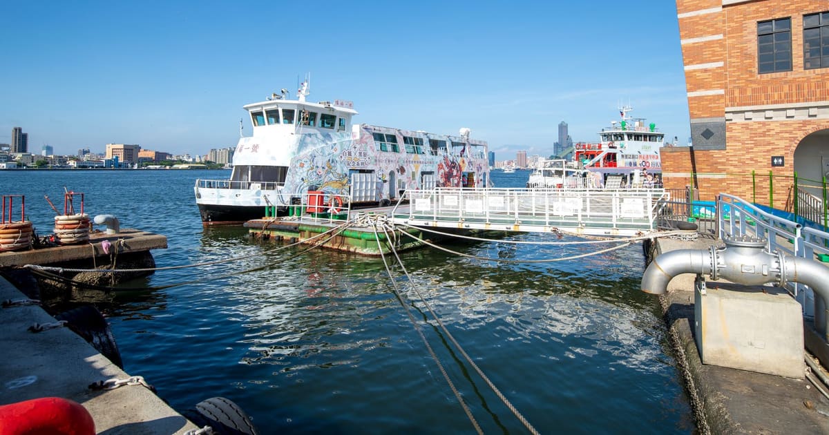
 You are at the Gushan ferry terminal, where the boats leave for Cijin Island, just across the water. Watch how it works. Walkers file aboard in one line while a crowd of scooters rolls on in their own lane, riders still in their helmets, and a few minutes later they all pour off on the other side. The crossing takes about five minutes and makes a fine detour, either now or after the walk. Cijin is a long, thin strip of sand that shelters the harbor from the sea, and it was home to some of the earliest Chinese fishing families on this coast. Its Mazu temple, honoring the goddess of the sea, is said to be the oldest in the city. Cijin was once joined to the mainland at its far southern end, until a second harbor entrance was cut through it in the 1970s and turned it into a true island. Now look at the ground beneath you. A little over a century ago, much of this shoreline was shallow water and tidal flats. In the early 1900s the Japanese colonial government began dredging the harbor and used the spoil to build new land, and on it rose a whole new district. Walk east along Binhai 1st Road for about five minutes, then bear left up Gushan 1st Road, and the low old station building is a few minutes ahead, about ten minutes in all.
In front of you stands the old Takao station, low and modest, with tracks fanning out across the lawns behind it. This is where the railway reached the sea. Kaohsiung's first station opened in 1900 a short way to the east, and a few years later the line was extended south onto the newly reclaimed land so that sugar, rice and goods could run straight from the trains to the ships. The Japanese called those waterfront tracks the hama-sen, the beach lines, and local people turned that word into the name of the whole neighborhood, Hamasen. Under Japanese rule, which began in 1895, this was the busy heart of the young city, laid out in a planned grid with banks, shops and offices. The modern harbor and railway were built above all to serve Japan, carrying the island's produce north and later supporting its wartime push into Southeast Asia, and Allied bombing hit the port hard near the end of the war. In 1941 passenger trains moved to a grand new station inland, and this one became Kaohsiung Port Station, handling freight. The original building was destroyed in a wartime air raid, and the one you see was rebuilt in 1947. The last train left in November 2008, and the station reopened as a railway museum in 2010. Walk out across the railway park behind the station, heading east and then southeast across the lawns beside the light rail tracks, for about ten minutes to the big warehouses of Pier-2.
포함 사항
저희 투어는 명상하듯 몰입할 수 있도록 만들어졌습니다. 걸으며 그저 귀 기울이시면 됩니다. 함께하면 언제나 더 좋고, 앱이 나레이션을 동기화해 재생하므로 당신과 파트너, 친구들이 모든 스톱을 같은 순간에 들을 수 있습니다.
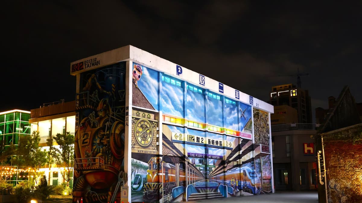
You are among the warehouses of Pier-2, long, plain sheds, now painted with murals and filled with galleries, studios and shops. Walk out onto the open lawns between them and look around for the giant sculptures, which tend to change from year to year.
이 스톱의 나머지 내용은 전체 오디오 투어에 있습니다.
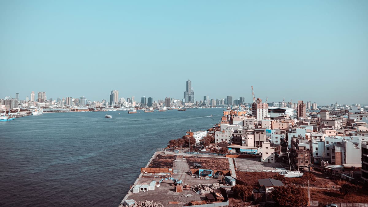
This is the eastern end of Pier-2, the row of warehouses known as Dayi.
이 스톱의 나머지 내용은 전체 오디오 투어에 있습니다.
You have reached the place where the Love River meets the harbor, and around you rises the Kaohsiung Music Center, a cluster of buildings spread across both banks of the river mouth.
이 스톱의 나머지 내용은 전체 오디오 투어에 있습니다.
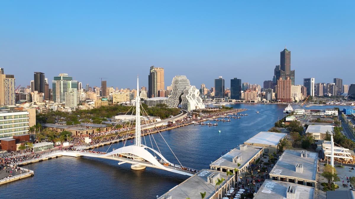
You end on the bank of the Love River, at the Kaohsiung Film Archive, the first venue in southern Taiwan given over entirely to film.
이 스톱의 나머지 내용은 전체 오디오 투어에 있습니다.
다음 예정된 투어에서 다른 사람들과 함께 이 산책을 해보세요.
약 3.7km, 여유로운 페이스로 대략 59분 소요 · 7 정류장
친구는 무료로 함께 걸어요October 11, 2026 · 9 min read
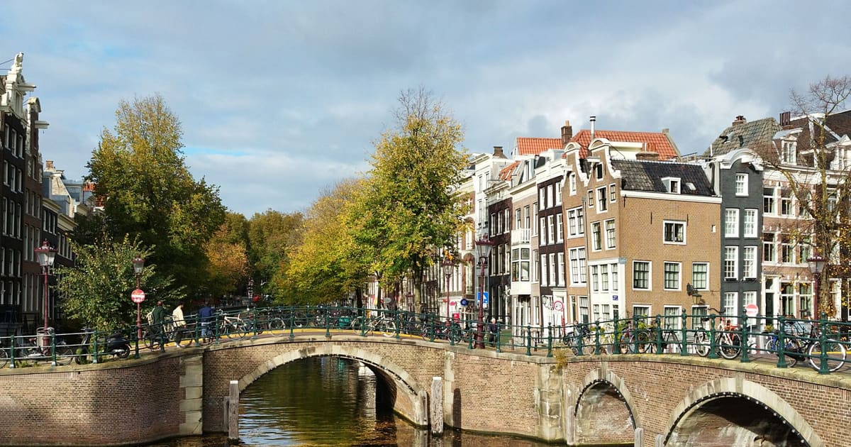
From the Hollandsche Schouwburg through the old Jewish Quarter, past the Dockworker and the Dam, to the Anne Frank House on the Prinsengracht.
October 11, 2026 · 11 min read
From Van Houten's street by the Vondelpark past Leidseplein, the Rijksmuseum passage and the famous canal bench to the Anne Frank House.
October 11, 2026 · 10 min read
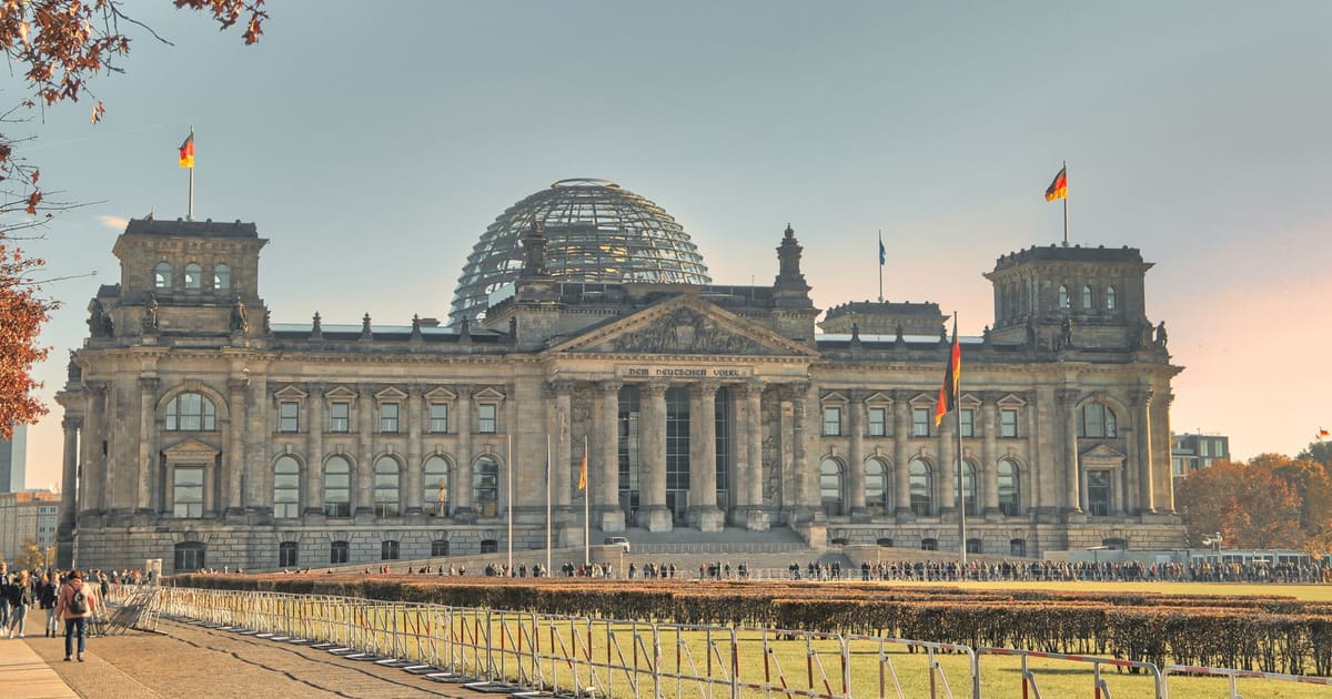
Follow the last days of April and May 1945 from the Anhalter Bahnhof ruin past the Gestapo site and Brandenburg Gate to the Moltke Bridge and the Reichstag.