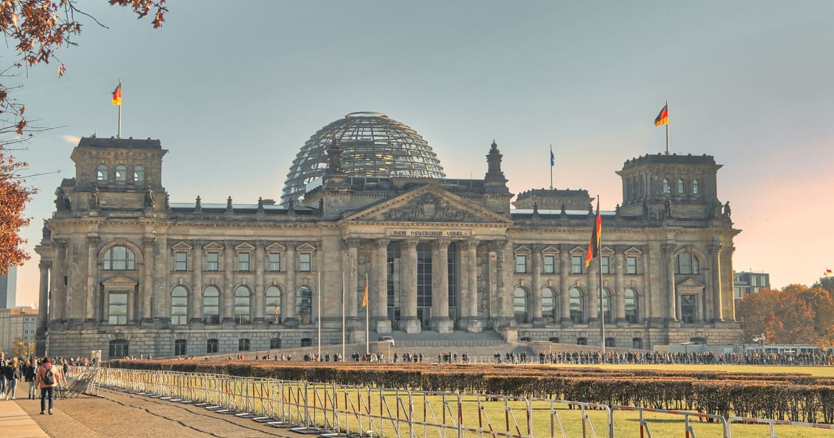
October 11, 2026 · 9 min read
Amsterdam Anne Frank Walking Tour
From the Hollandsche Schouwburg through the old Jewish Quarter, past the Dockworker and the Dam, to the Anne Frank House on the Prinsengracht.
589
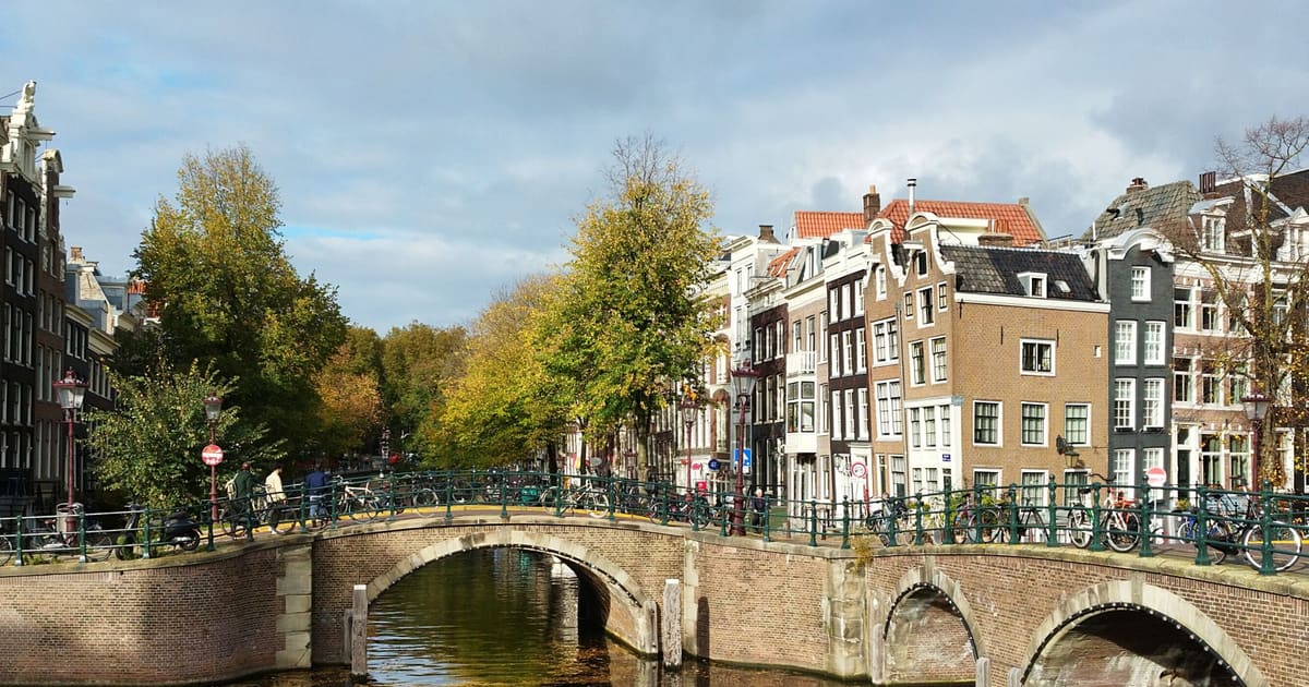
October 9, 2026 · 9 min read

 Os amigos caminham grátis
Cada tour também funciona como uma caminhada em grupo agendada que você pode acessar no app.
Mais passeios de áudio em Ubud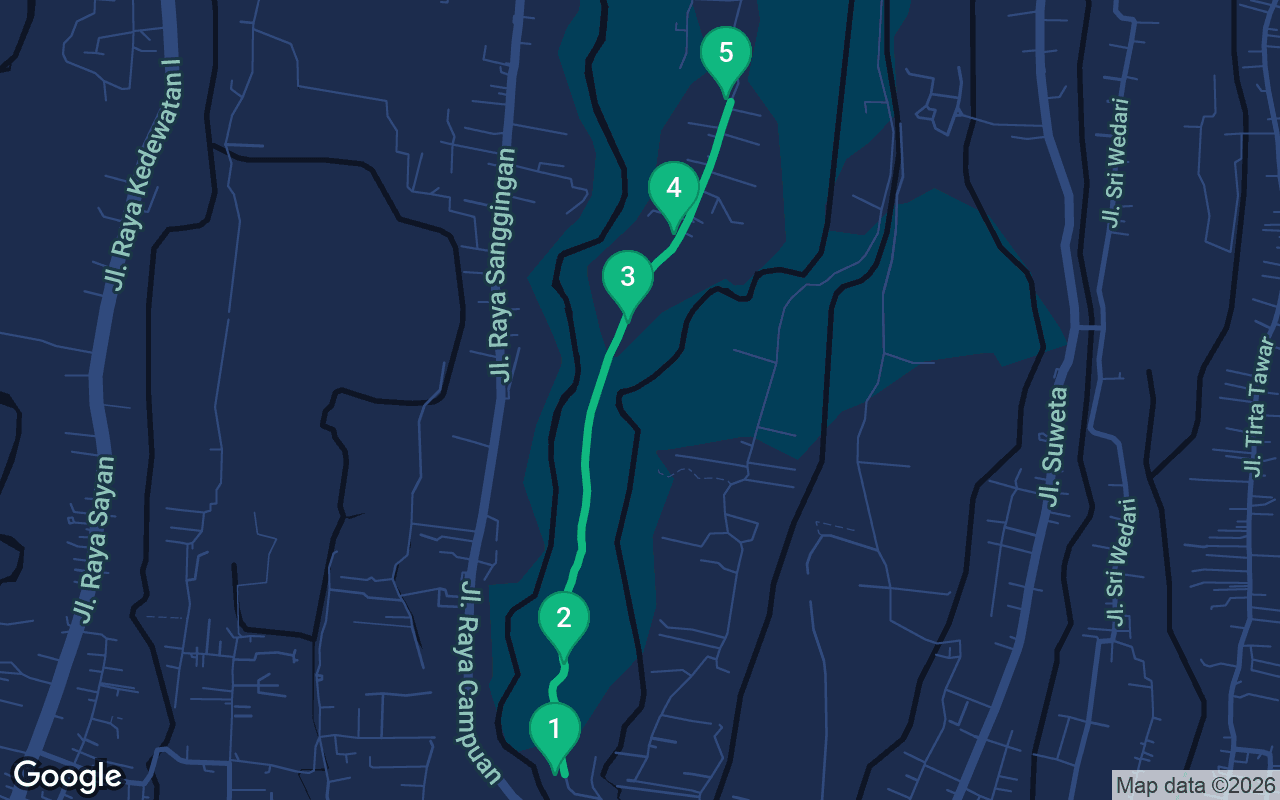
Cerca de 1,7 km, mais ou menos 28 minutos em passo tranquilo.
Este passeio é narrado
Aperte o play nas primeiras 3 paradas para ouvir uma demonstração de 30 segundos da narração. No aplicativo, a introdução e essas 3 paradas tocam completas e de graça, e cada uma avisa com um sinal sonoro quando você chega. Todo o passeio narrado é seu por $6.99, uma compra única que você guarda para sempre.
Funciona com Garmin, Komoot, Strava, OS Maps e qualquer app de GPX.
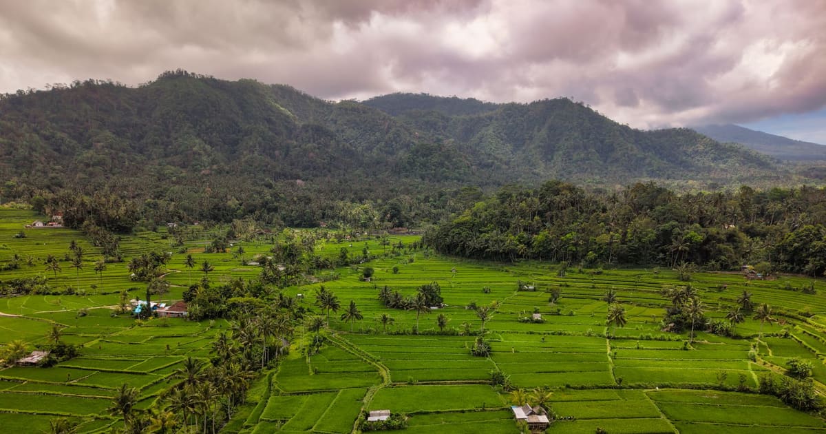
Just a few minutes from the busy center of Ubud, the town falls away into a deep green gorge, and a narrow ridge rises out of it between two river valleys. A paved path runs along the top of that ridge, with nothing on either side but tall grass, palm trees and the sound of water far below. This walk follows it. You start at Pura Gunung Lebah, an old temple at the spot where two rivers meet, climb onto the Campuhan Ridge, cross its high point and walk on into the village of Bangkiang Sidem, where the path becomes a lane between rice fields. It ends at Karsa Kafe, a garden cafe among the paddies. It is about two kilometers one way, with no cars and no shops for most of it, and of all the self-guided walking tours in Bali, this may be the one that shows you the island's green heart most simply.
Allow 35 to 45 minutes to walk from the temple to the cafe, and the same again to walk back, since this is an out-and-back route. With stops, give it two to three hours. The path is paved the whole way, with some steps at the start and a long, gentle climb up the ridge, so any comfortable shoes will do. The most important thing is timing. There is almost no shade on the ridge, and by late morning the sun is fierce, so go at sunrise, when the valleys are full of mist and the light is soft, or in the late afternoon, when it cools off. Bring water, a hat and sunscreen. In the rainy season, roughly November to March, afternoon storms can roll in quickly and the paving gets slippery, so keep an eye on the sky. The path is closed to cars, though you may meet the odd local scooter, so keep to one side. If you want to look into the temple at the start, wear a sarong and sash. To find the start, walk west along Jalan Raya Ubud to the bridge over the gorge at Campuhan; the way down to the temple is beside it.
You are standing at the bottom of the gorge, at Pura Gunung Lebah, and you can hear why the temple is here before you see it. Two rivers come together just beside it, and the word campuhan means exactly that in Balinese: the place where waters meet. For the Balinese, a meeting of rivers is a powerful place, where water is especially pure and where people come to bathe and purify themselves during ceremonies. Look for the tall shrine with its stacked, tiered roofs rising above the temple walls, a meru, the shape that stands for the holy mountain where the gods live. Tradition holds that this temple goes back to Rsi Markandeya, a holy man from Java who is said to have come to Bali many centuries ago and to have founded some of its oldest temples. One story says he found healing plants growing along these rivers, and the town's name is often traced to the Balinese word for medicine, ubad. Whether or not that is so, people have treated this spot as sacred for a very long time. The inner courtyards are for worshippers, so look in from the gate and keep your voice low. To go on, cross the small footbridge over the river and climb the paved steps up onto the ridge. The path levels out at the top, about five minutes away.
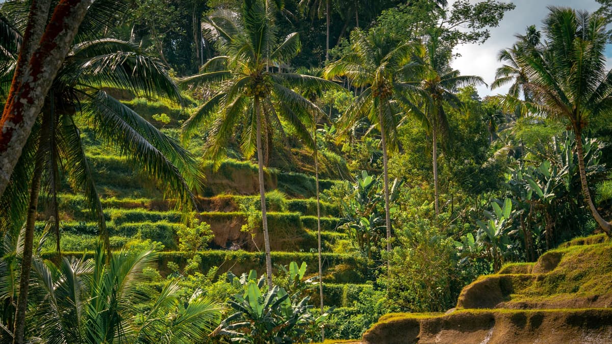 You are on the ridge itself. Stop and look around. The path runs ahead of you like a grey ribbon along the spine of the hill, and on both sides the slopes are covered in alang-alang, a tall, pale grass that the Balinese have long cut and dried to thatch the roofs of shrines and pavilions. Beyond the grass, the ground drops away on each side into a river valley thick with jungle. Back down by the river, close to where the two streams meet, the German painter and musician Walter Spies built a house in the late 1920s. Spies came to Bali in 1927 and settled in Ubud at the invitation of its royal family. His house beside the river became the most famous address on the island, visited by writers, filmmakers and scholars from around the world, among them the anthropologists Margaret Mead and Gregory Bateson and the Mexican artist Miguel Covarrubias. Spies painted dreamlike scenes of the Balinese countryside, studied its music, and helped make Ubud known abroad as a center of art. His story ended sadly. When war came to Europe in 1940, the Dutch authorities interned him as a German, and he died in 1942 when the ship carrying him and other prisoners was sunk off Sumatra. To go on, follow the path north along the ridge, climbing gently. The high point is about twelve minutes ahead.
This is the top of the ridge, Bukit Campuhan, and the view opens wide. Look northeast, and on a clear morning you may see the cone of Mount Agung rising far off above the hills. At more than three thousand meters it is the highest mountain in Bali and the most sacred, home of the island's mother temple, Besakih, on its slopes. It is an active volcano too: its eruption in 1963 killed more than a thousand people, and it rumbled back to life again in 2017. Closer in, the land falls away into ravines full of coconut palms and jungle, and it is easy to see why painters fell in love with this view. Spies had a Dutch friend here, the painter Rudolf Bonnet, who arrived in Bali at the end of the 1920s. In 1936 the two of them, with Cokorda Gede Agung Sukawati of the Ubud royal family, founded Pita Maha, an association of artists. It encouraged Balinese painters and carvers to work in new ways, to show daily life, village scenes and landscapes like this one alongside the old religious stories, and it helped them sell their work. The paintings that came out of that time are still the heart of Ubud's museums, among them Puri Lukisan, which Bonnet helped found. When you have caught your breath, carry on along the path as it starts to drop toward the village. Bangkiang Sidem is about four minutes away.
O que está incluído
Nossos passeios foram feitos para ser meditativos e imersivos: você caminha e simplesmente escuta. Eles são sempre melhores em companhia, e o aplicativo toca a narração sincronizada, para que você, seu par e seus amigos ouçam cada parada ao mesmo tempo.
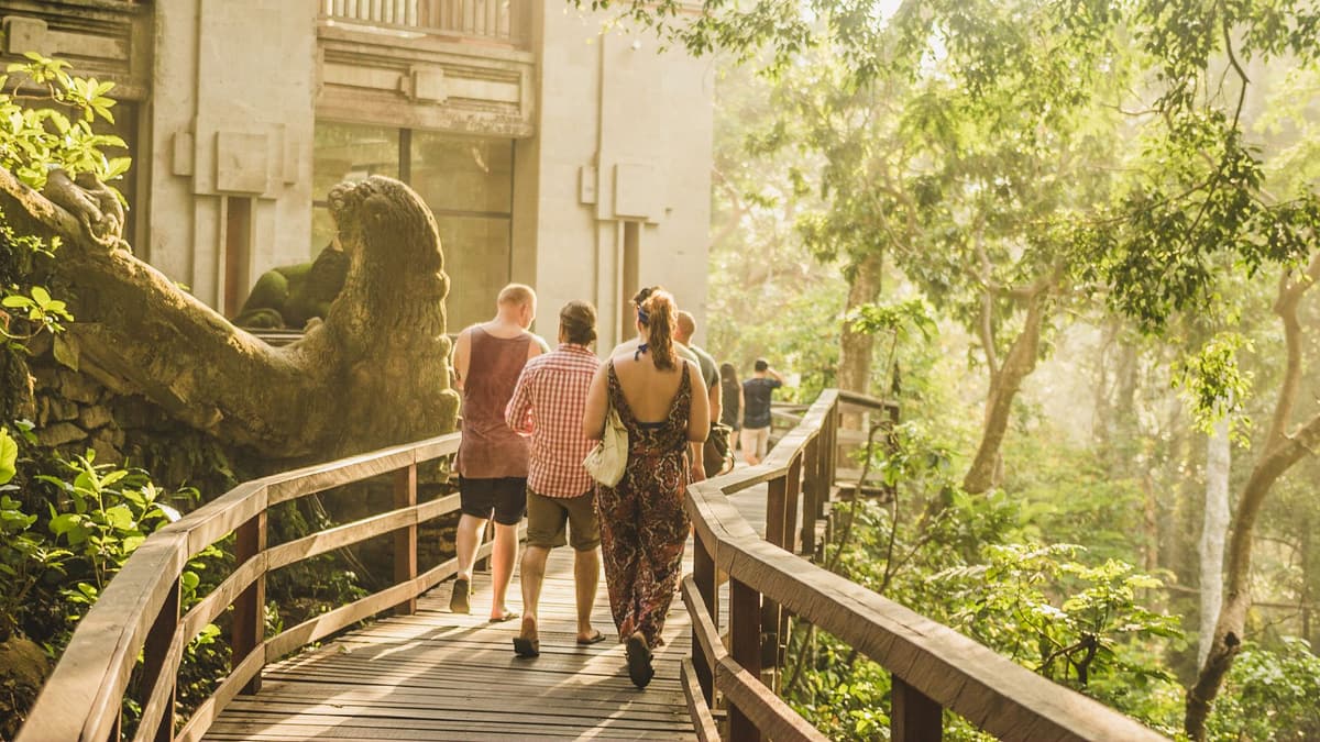
At the far end of the ridge, the path enters the small village of Bangkiang Sidem, and the scenery changes. Houses appear behind walls, with family shrines peeking over them, and then the trees open out onto terraces of rice.
O restante desta parada está no passeio em áudio completo.
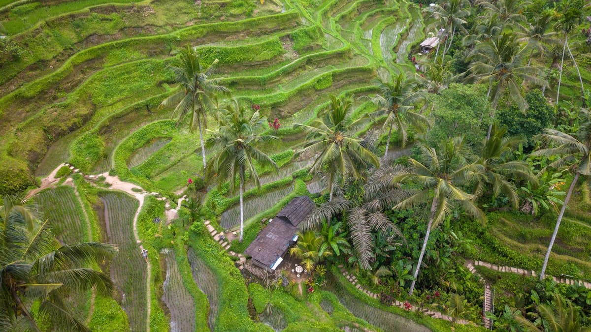
The walk ends at Karsa Kafe, a garden cafe set beside a lotus pond with rice fields stretching out around it.
O restante desta parada está no passeio em áudio completo.
Faça esta caminhada com outras pessoas no próximo passeio agendado.
Cerca de 1,7 km, aproximadamente 28 minutos em ritmo leve · 5 paradas
Os amigos caminham grátisOctober 11, 2026 · 9 min read
From the Hollandsche Schouwburg through the old Jewish Quarter, past the Dockworker and the Dam, to the Anne Frank House on the Prinsengracht.
October 11, 2026 · 11 min read
From Van Houten's street by the Vondelpark past Leidseplein, the Rijksmuseum passage and the famous canal bench to the Anne Frank House.
October 11, 2026 · 10 min read
Follow the last days of April and May 1945 from the Anhalter Bahnhof ruin past the Gestapo site and Brandenburg Gate to the Moltke Bridge and the Reichstag.