
October 11, 2026 · 9 min read
Amsterdam Anne Frank Walking Tour
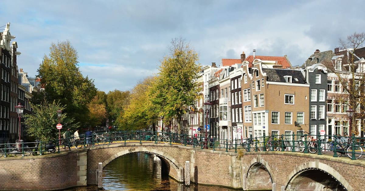
From the Hollandsche Schouwburg through the old Jewish Quarter, past the Dockworker and the Dam, to the Anne Frank House on the Prinsengracht.
589
October 8, 2026 · 11 min read

 เพื่อนเดินฟรี
ทุกทัวร์ยังเปิดเป็นการเดินกลุ่มตามเวลาที่กำหนด ซึ่งคุณเข้าร่วมได้ในแอป
ทัวร์เสียงเพิ่มเติมในSavannah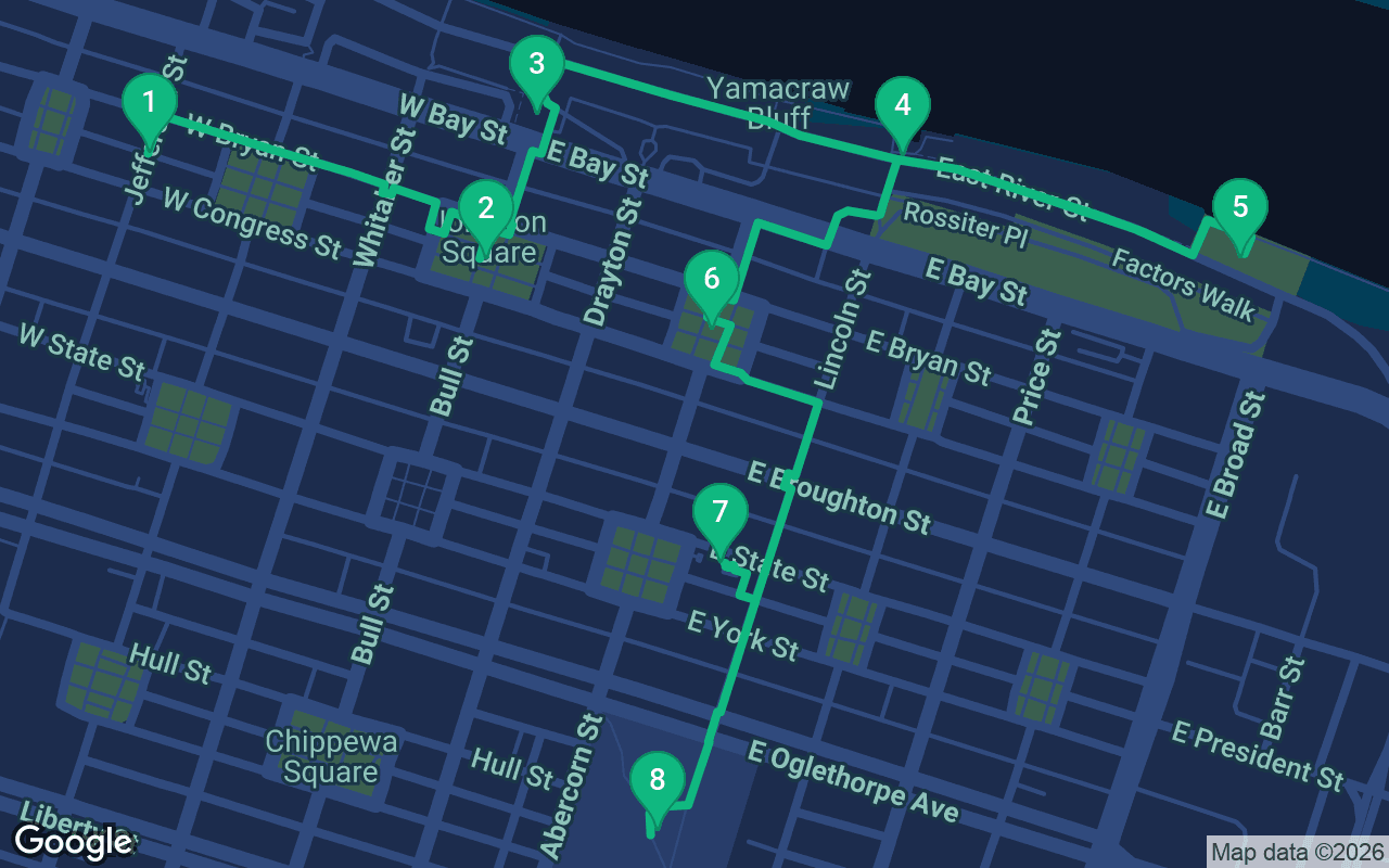
ประมาณ 2.8 กม. ใช้เวลาประมาณ 40 นาทีด้วยจังหวะสบายๆ
ทัวร์นี้มีเสียงบรรยาย
กดเล่นที่ 3 จุดหยุดแรกเพื่อฟังตัวอย่างคำบรรยายความยาว 30 วินาทีได้ที่นี่ ในแอป คุณฟังบทนำและจุดหยุดเหล่านี้แบบเต็มได้ฟรี และทุกจุดหยุดจะมีเสียงแจ้งเตือนเมื่อคุณไปถึง คุณสามารถเป็นเจ้าของทัวร์บรรยายทั้งหมดนี้ได้ในราคาเพียง $8.99 ซึ่งเป็นการซื้อครั้งเดียวและเก็บไว้ใช้ได้ตลอดไป
ใช้งานได้กับ Garmin, Komoot, Strava, OS Maps และแอป GPX ใดก็ตาม
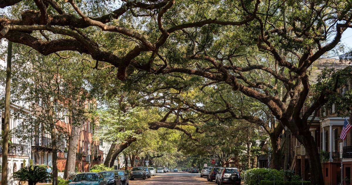
Savannah was born on a bluff above a river, and this walk tells that story from the top of the bluff to the water and back. It starts among the restored warehouses of City Market, visits the very first square James Oglethorpe laid out in 1733, stands beneath the gold dome of City Hall on the spot where the colonists landed, then drops down the old stone stairs to the cobbles of River Street, where the cotton trade once ran and giant container ships still slide past. After a visit to the statue of the Waving Girl, it climbs back up to John Wesley's square, a Regency mansion with rare surviving slave quarters, and the city's colonial cemetery. It is about 2.8 kilometers, roughly a mile and three quarters, and one of the most varied self-guided walking tours you can take in Savannah.
Give yourself about two hours at a relaxed pace, longer if you take the tour of the Owens-Thomas House, which is well worth the time; check its days and tickets before you go. The streets up top are flat and shady, but the way down to River Street and back up again is steep. The old stone stairs between the bluff and the river are narrow, uneven and sometimes slippery, so take the handrails and go slowly, or look for the cobbled ramps and public elevators along the bluff if stairs are hard for you. River Street itself is paved with rough cobbles that punish thin soles, so wear sturdy shoes. Savannah summers are hot and very humid, and the riverfront has little shade, so walk in the morning or in the early evening, when the light on the water is lovely and the ships are easy to watch. Carry water. The cemetery at the end closes at night, so finish the walk in daylight.
You start in City Market, four blocks of old brick warehouses and stores between two of Savannah's squares, now full of galleries, artists' studios, restaurants and live music. Look up at the upper floors, where painters and craftspeople work in rooms that once held grain, feed and hardware. Walk east a few steps to Ellis Square, and you are standing on the site of one of the great preservation fights in American history. For close to two centuries this square held the city's public market. In 1954 the city tore down the old market hall to build a parking garage, and the shock of losing it helped spur a group of Savannah residents to found the Historic Savannah Foundation the following year, which went on to save hundreds of old buildings, many of them on this walk. Half a century later, the garage itself came down and went underground, and the square reopened in 2010, fountains and all. Look in the square for the bronze statue of Johnny Mercer, born in Savannah, who wrote the words to Moon River. From here, walk east along St Julian Street, straight through Ellis Square, for about five minutes to the next square.
This is where Savannah's plan began. In 1733 James Oglethorpe laid out this square as the first of a grid of wards, each built around a central green, and the city kept repeating the pattern as it grew. Twenty-two of those squares survive. Georgia was founded as an experiment. Its trustees in London meant it as a fresh start for the deserving poor of England and a buffer between the Carolinas and Spanish Florida, and they began with rules that set it apart from its neighbors, including a ban on slavery. That ban was lifted in 1751, and within a generation the colony's economy rested on enslaved labor like the rest of the South. The tall white obelisk in the middle of the square honors Nathanael Greene, one of George Washington's most trusted generals in the Revolution, who afterward settled on a plantation upriver from here. The Marquis de Lafayette laid its cornerstone in 1825, during his triumphant tour of America, and Greene himself lies beneath it, though he took a long road to get here, as you will hear at the end of the walk. Around the square stand banks and Christ Church, the colony's first congregation. Walk north up Bull Street toward the gold dome, about two minutes.
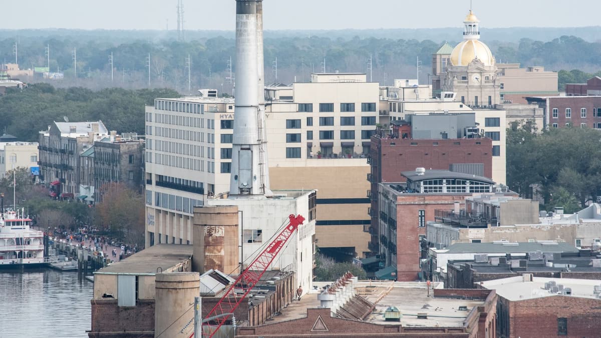 Stand on Bay Street in front of City Hall and look up at its dome, covered in gold leaf. The building opened in 1906 on the site of an older exchange, but this spot matters for a much older reason. On February 12, 1733, Oglethorpe and some 114 colonists climbed the bluff here from the river below to found the colony of Georgia. They were not alone. The bluff was home to the Yamacraw people, and their leader Tomochichi agreed to let the newcomers settle, a friendship on which the colony's early survival depended. Mary Musgrove, a trader of English and Creek descent, interpreted between them. Look around the front of City Hall for markers, including one recalling the SS Savannah, which left this port in 1819 and became the first steamship to cross the Atlantic, though she relied on her sails for most of the voyage. Along Bay Street to the east, the iron bridges and narrow lanes below you are Factors Walk, where cotton brokers once did business. Now find the stairs just beside City Hall, or a ramp or elevator nearby, and go down to River Street, then turn right along the river and walk east for about four minutes.
สิ่งที่รวมอยู่
ทัวร์ของเราออกแบบมาให้เป็นประสบการณ์ที่ผ่อนคลายและดื่มด่ำ คุณเดินไปพร้อมกับฟังไปเรื่อย ๆ และจะดียิ่งขึ้นเมื่อไปด้วยกัน แอปจะเล่นคำบรรยายแบบซิงค์กัน ให้คุณ คนรัก และเพื่อน ๆ ได้ฟังทุกจุดในเวลาเดียวกัน
You are on River Street, at the foot of the bluff, with the old cotton warehouses rising behind you.
เนื้อหาที่เหลือของจุดนี้อยู่ในทัวร์เสียงฉบับเต็ม
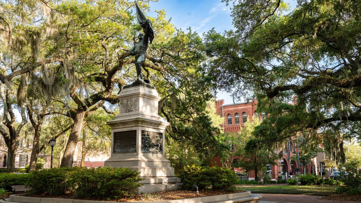
The statue in front of you shows a young woman with a cloth raised in her hand and a collie at her side, looking out to the river. She is Florence Martus, and her story is one of Savannah's favorites.
เนื้อหาที่เหลือของจุดนี้อยู่ในทัวร์เสียงฉบับเต็ม
This shady square is named after John Reynolds, an early royal governor of Georgia, but the figure standing in the middle in flowing robes is John Wesley.
เนื้อหาที่เหลือของจุดนี้อยู่ในทัวร์เสียงฉบับเต็ม
Facing Oglethorpe Square stands the Owens-Thomas House, a pale, elegant villa in the English Regency style, and one of the finest houses in America from its time.
เนื้อหาที่เหลือของจุดนี้อยู่ในทัวร์เสียงฉบับเต็ม
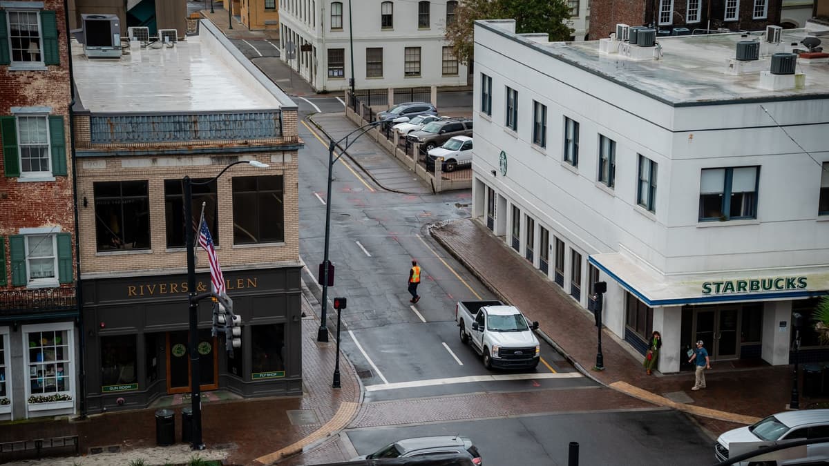
You end at Colonial Park Cemetery, the city's burial ground from around 1750 until 1853, now a quiet park with paths beneath the oaks.
เนื้อหาที่เหลือของจุดนี้อยู่ในทัวร์เสียงฉบับเต็ม
เดินไปกับคนอื่นในทัวร์ที่กำหนดเวลาไว้ครั้งต่อไป
ประมาณ 2.8 กม. ใช้เวลาประมาณ 40 นาทีด้วยจังหวะสบายๆ · 8 จุดแวะ
เพื่อนเดินฟรีOctober 11, 2026 · 9 min read
From the Hollandsche Schouwburg through the old Jewish Quarter, past the Dockworker and the Dam, to the Anne Frank House on the Prinsengracht.
October 11, 2026 · 11 min read
From Van Houten's street by the Vondelpark past Leidseplein, the Rijksmuseum passage and the famous canal bench to the Anne Frank House.
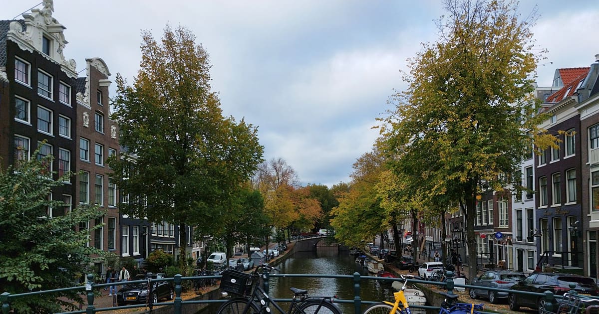
October 11, 2026 · 10 min read
Follow the last days of April and May 1945 from the Anhalter Bahnhof ruin past the Gestapo site and Brandenburg Gate to the Moltke Bridge and the Reichstag.