



Google Play
Looking forward to finding some local walks in my city, cool idea.
Google Play review
Android user
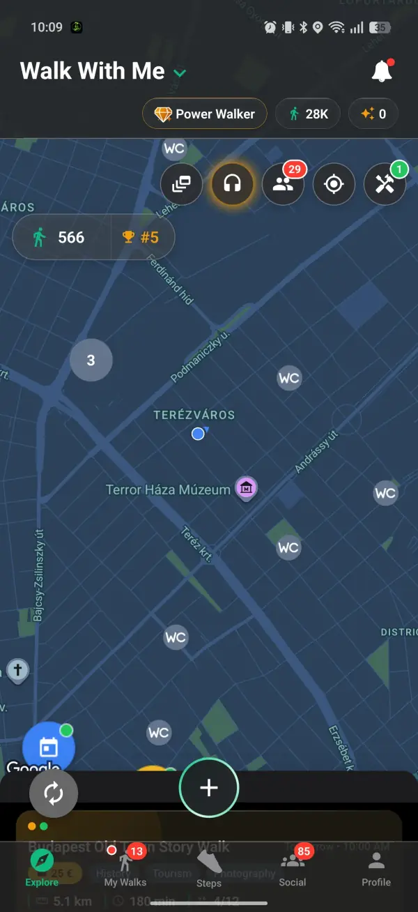
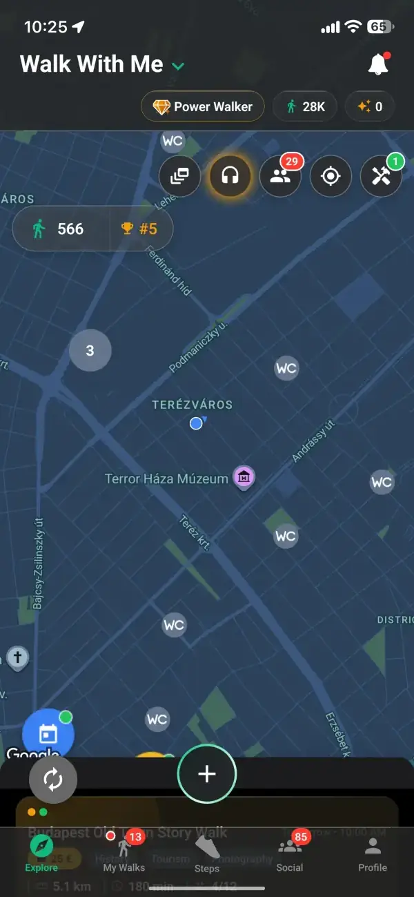
Switch on the WC layer in Walk With Me and the nearest public toilets appear on the map around you, with the walking time to each one and a route to get there. Free on iOS and Android.
Real reviews from walkers, on the app stores and right here on the web.
Looking forward to finding some local walks in my city, cool idea.
Google Play review
Android user
I really like the idea. Seems like I'm the first walker in my city, but the concept is exactly what I wanted.
Google Play review
Bucharest
This app helped me leave the house and touch some grass, for real for real.
Google Play review
Android user
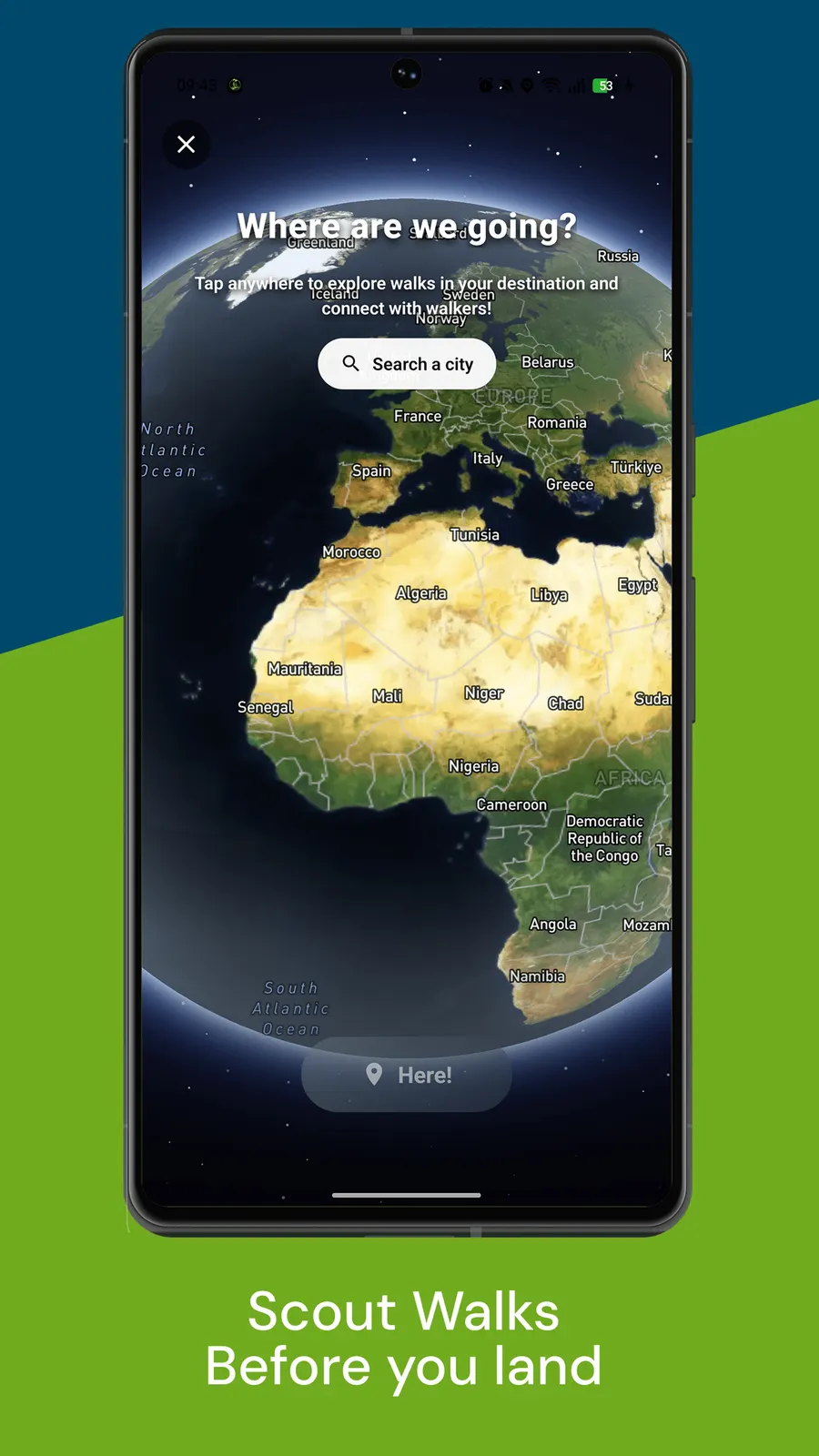
Walk With Me is your all-in-one walking app that lets you find walkers in your area and walk together.
Fewer walks cut short because nobody knew where the nearest toilet was.
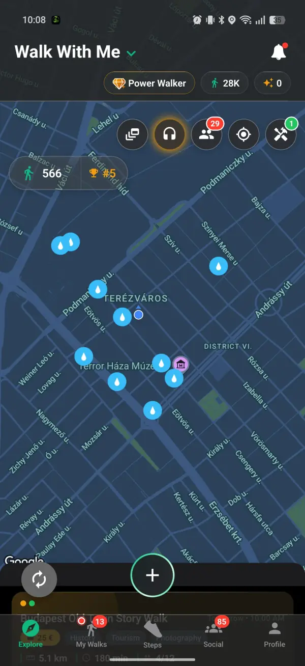
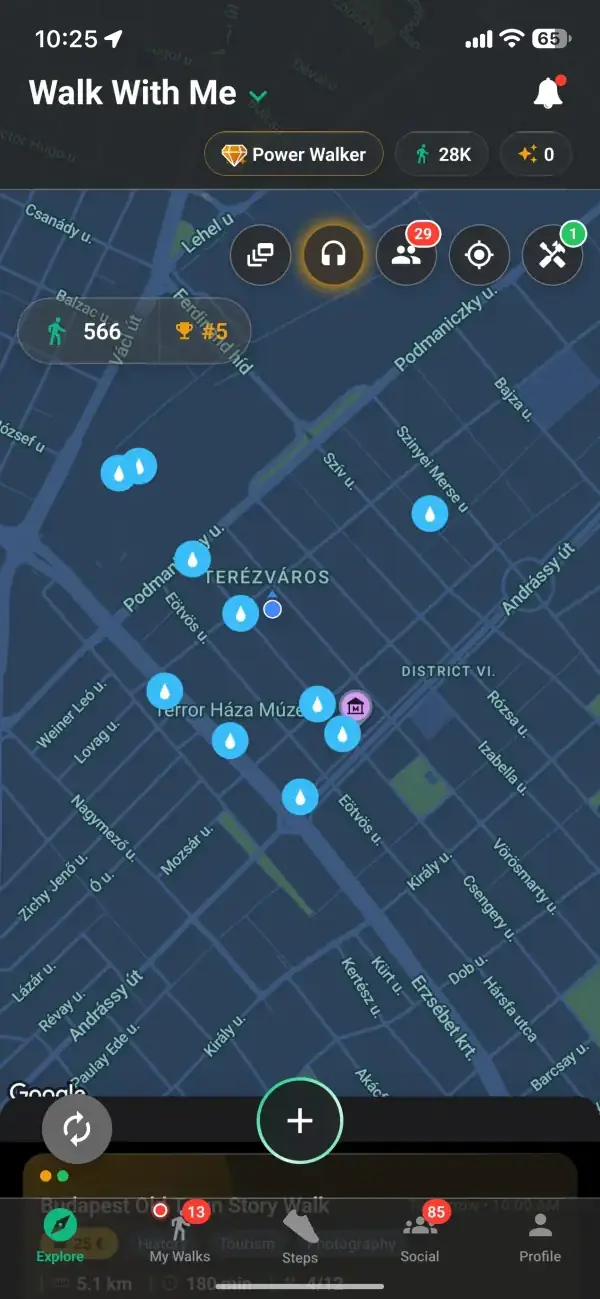
On the Explore map, tap the Tools button in the top-right row and pick Public toilets, the tile marked WC. Pins appear for the nearest public toilets around you, up to ten within about 1.5 km. Toilets that sit close together group into one numbered bubble until you zoom in, so a busy city centre stays readable. Once it is on it stays on, so the pins are waiting the next time you open the map.
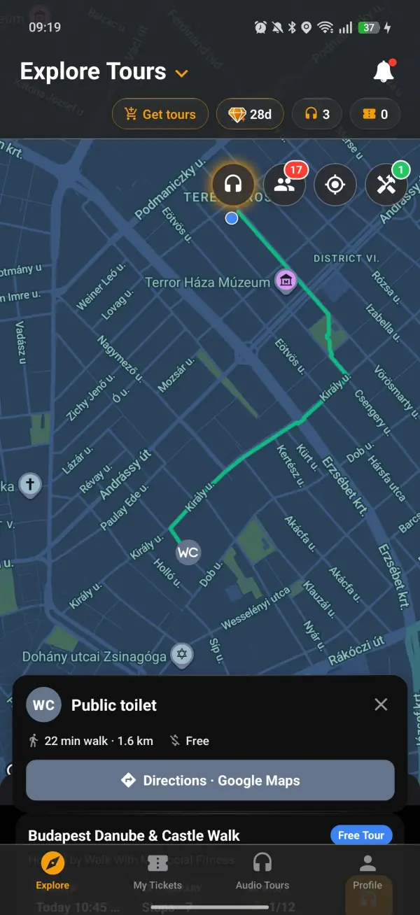
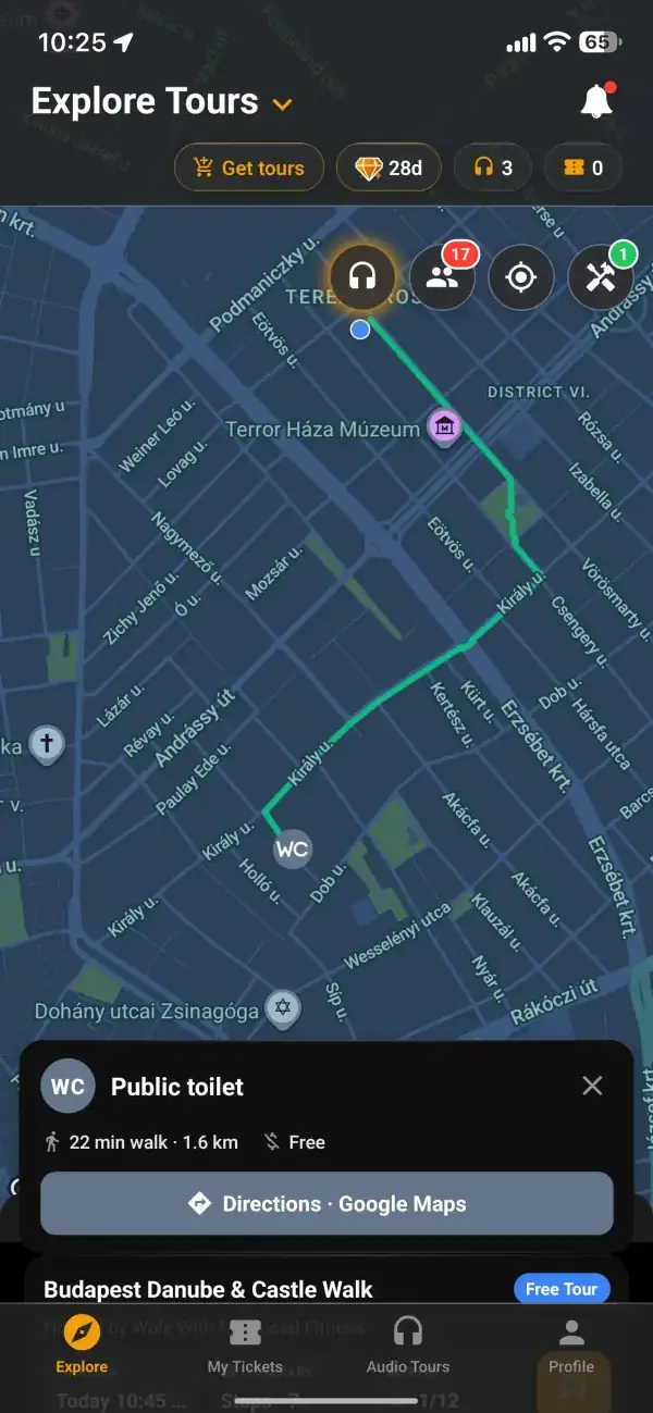
Tap a pin and a card shows the essentials: how many minutes' walk it is, whether it is free, paid or for customers only, and tags like Accessible, Baby changing and opening hours when they have been recorded. A walking route appears on the map, and the remaining distance counts down as you walk. If you would rather follow turn-by-turn directions, the Directions button opens Google Maps on foot.
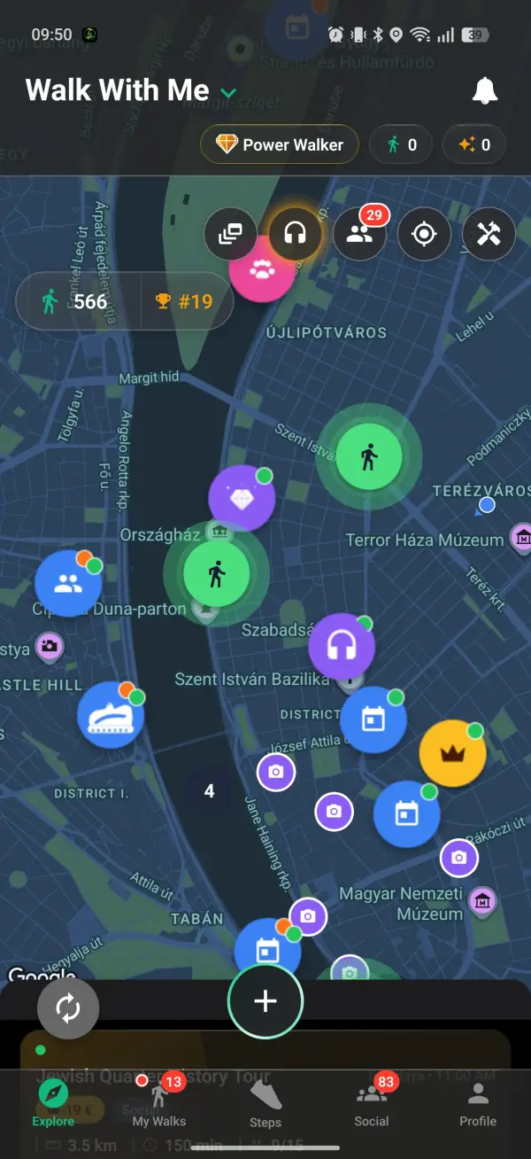
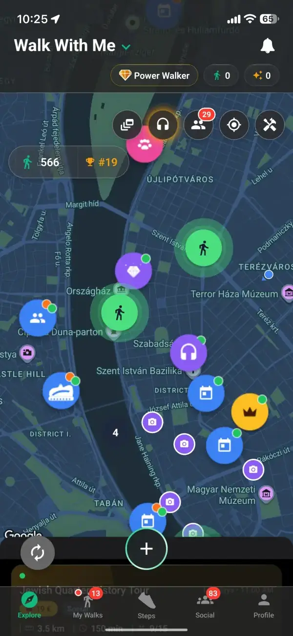
For parents with a pram, older walkers and anyone who likes to know the plan, the nearest WC is often the difference between a quick loop and a proper afternoon out. With the toilet layer on, you can join a walk from the map or set off on your own knowing where the stops are. Add the water fountain layer and the map covers the two things a long walk needs most.
Find water fountains near youFrom download to your first group walk in minutes.
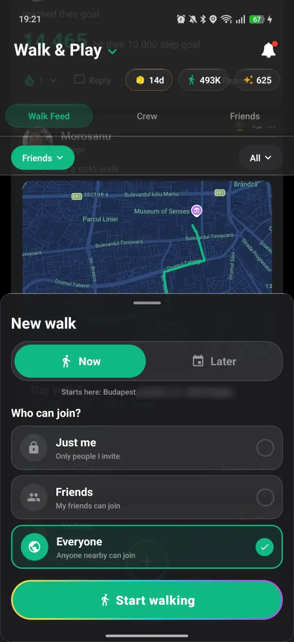
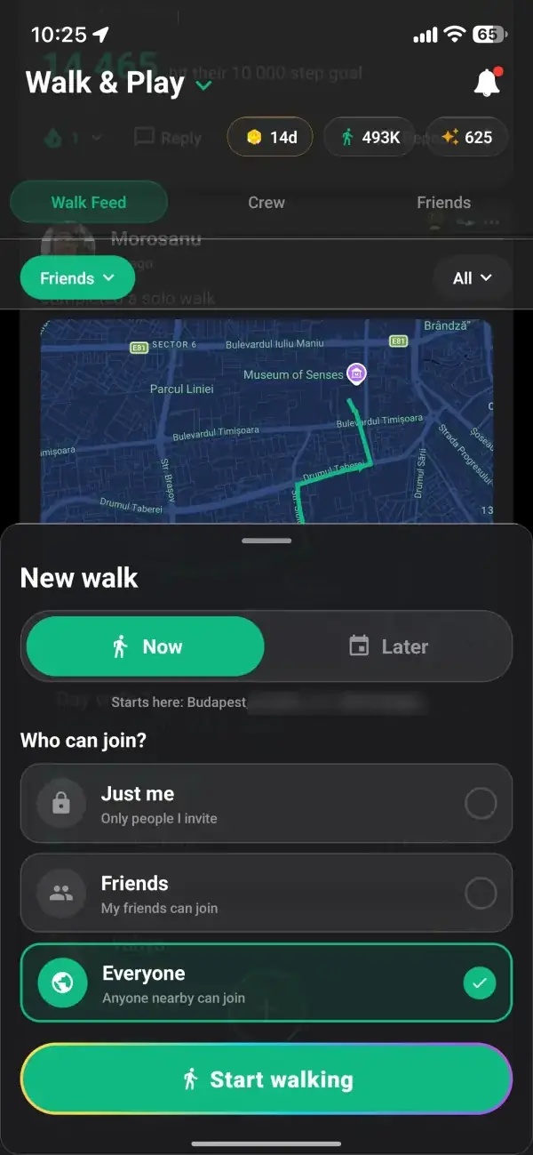
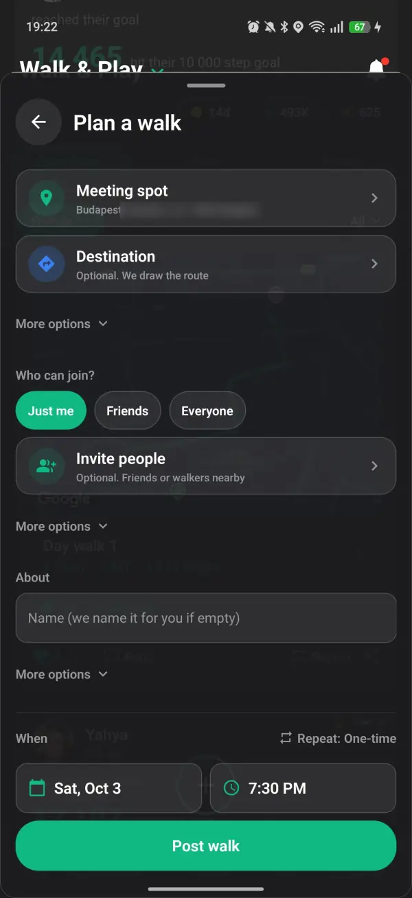
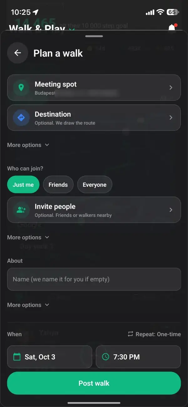
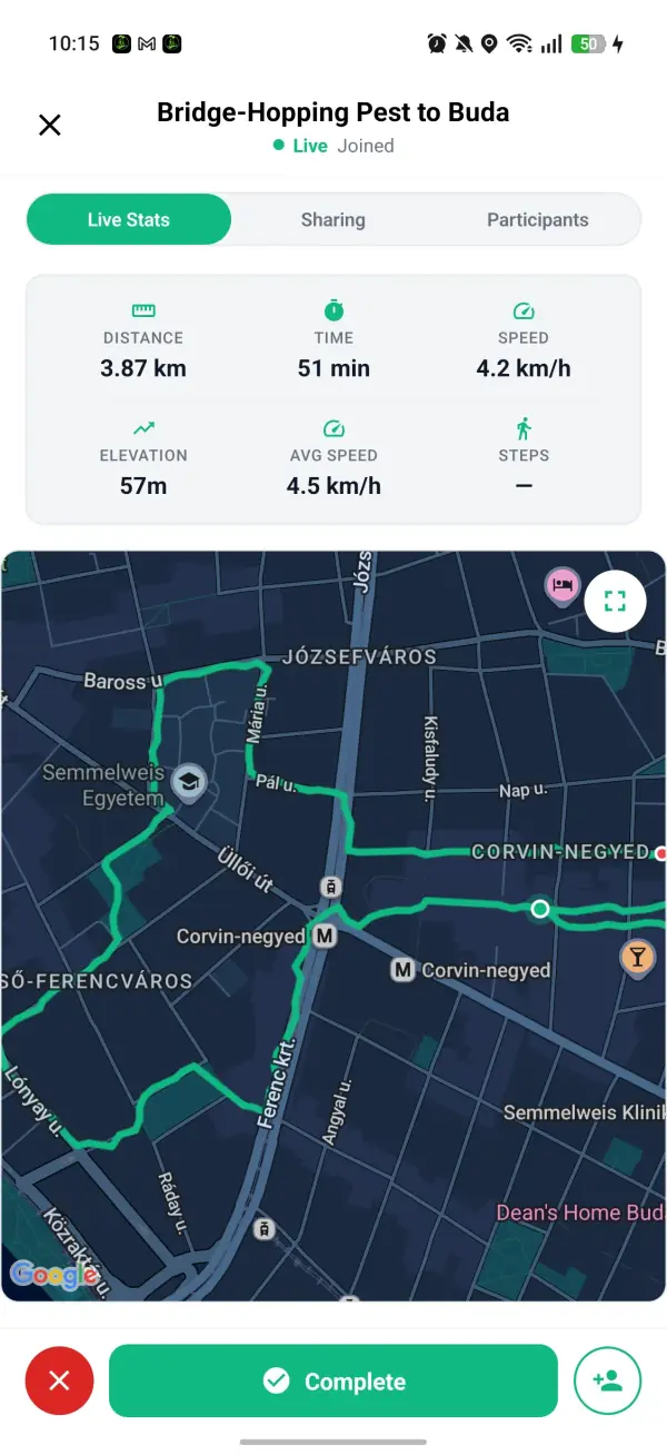
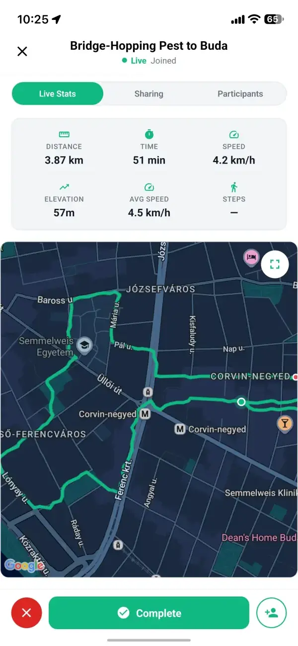
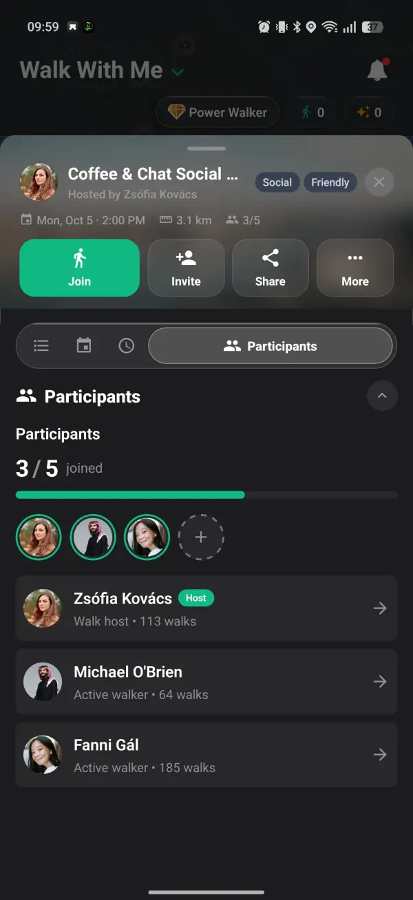
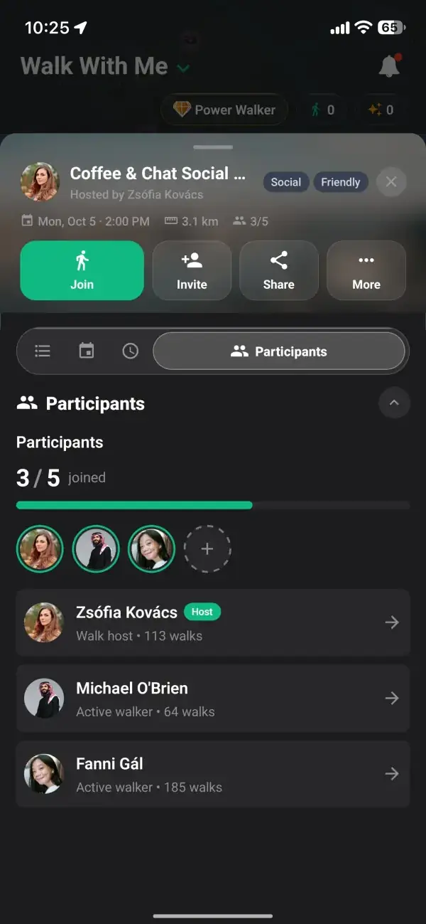
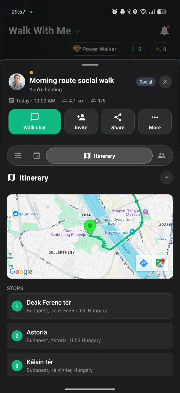
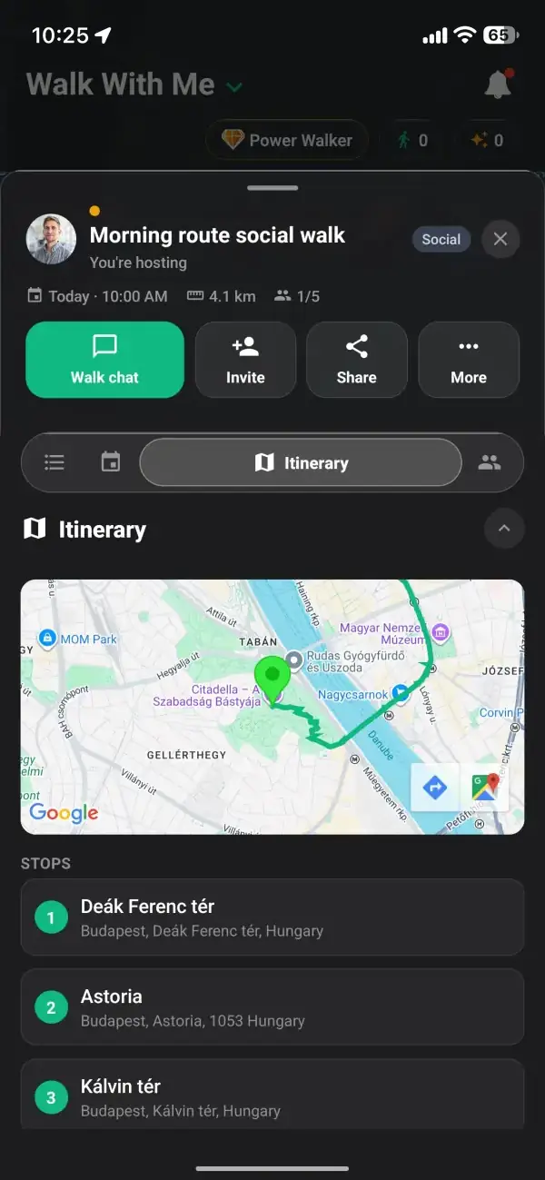
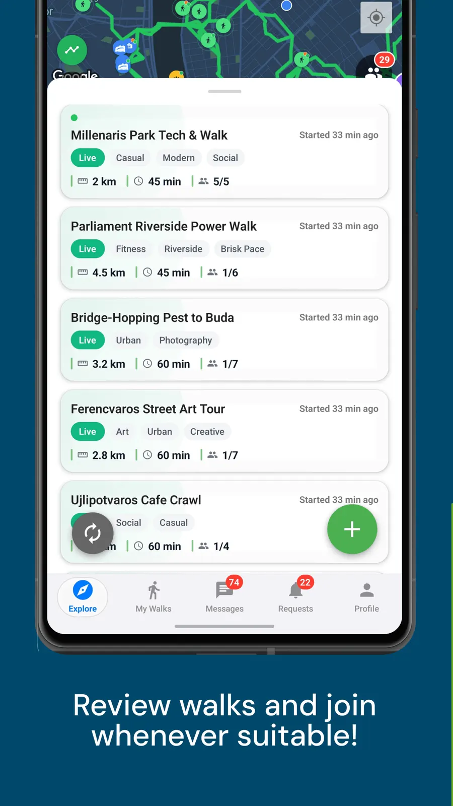
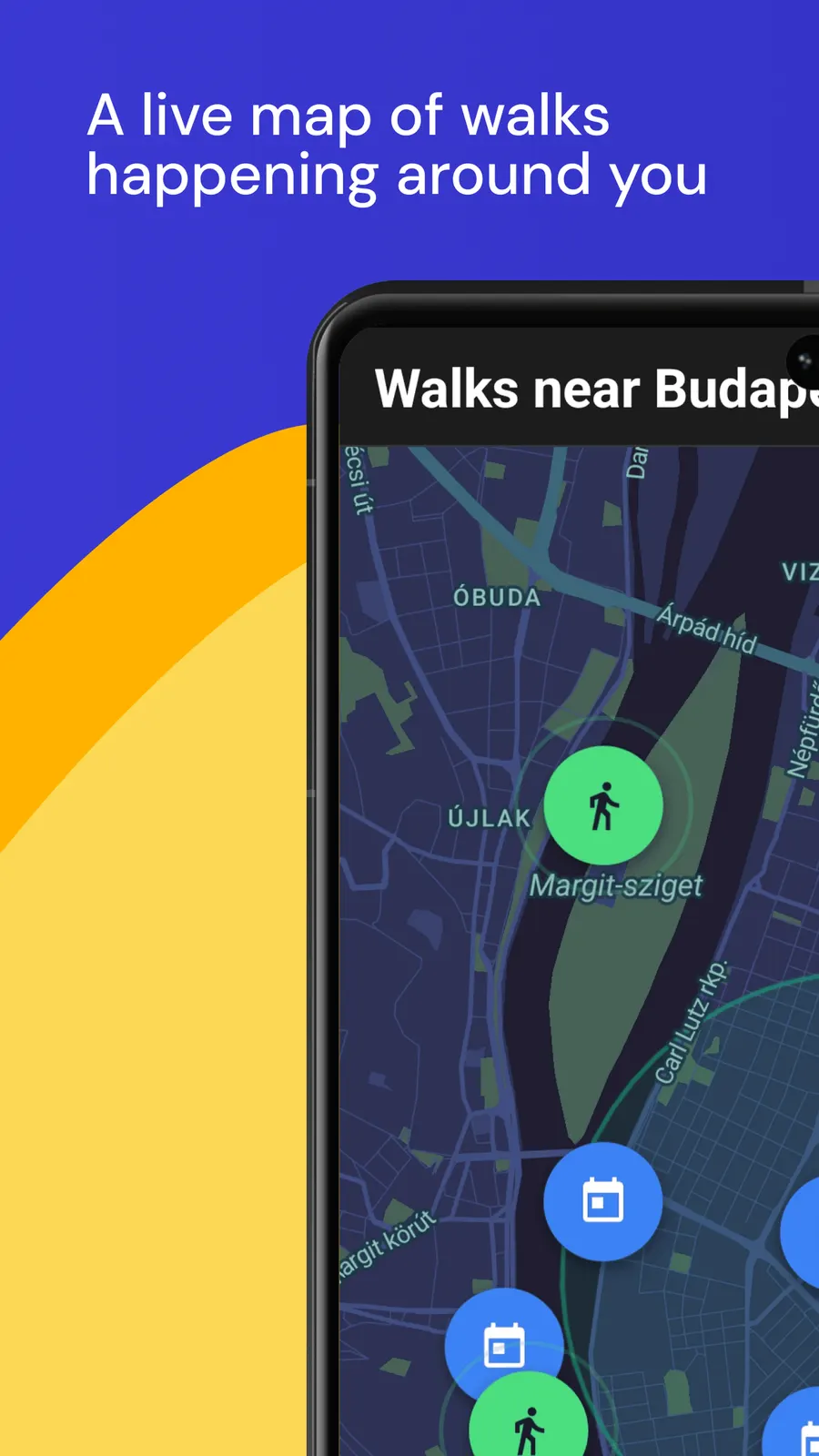
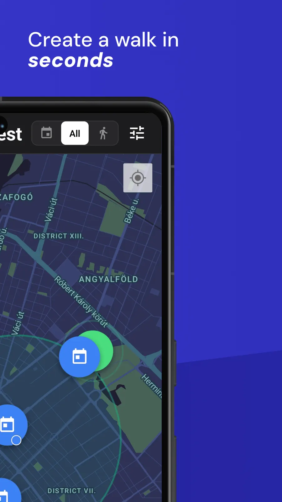
Open the map and see walks happening around you, then tap one for the time, the route and who is going.
Your safety and comfort are at the heart of everything we build.
A map layer that shows public toilets near where you are, with the walking distance to each, so you can find a WC on foot.
Not knowing where the next toilet is keeps a lot of people from longer walks: parents with small children, older walkers, anyone who has ever cut a nice walk short to head home. Walk With Me has a public toilet layer on its Explore map, so the nearest WCs around you are one tap away and you can see how far each one is before you need it.
Open the Tools button on the Explore map and tap Public toilets to see the ten nearest within about 1.5 km.
Tap a WC pin to see the walking time, whether it is free, paid or for customers only, and the walking route there.
Tags such as Accessible, Baby changing and opening hours show up whenever they have been mapped.
The toilet data comes from OpenStreetMap, the free world map kept up by volunteers, where public toilets are one of the most commonly mapped places. Coverage is best in city centres, parks and stations, and thinner in quiet suburbs and the countryside. Toilets inside cafes, shops and museums are often missing or marked as customers only, so treat the map as a strong starting point rather than a complete list.
The layer searches around your real GPS position, so it answers the question you actually have mid-walk: where is the nearest one from here? If you have walked a long way since turning it on, switch it off and on again to search from where you are now. It stays switched on between visits until you turn it off.