



Google Play
Looking forward to finding some local walks in my city, cool idea.
Google Play review
Android user
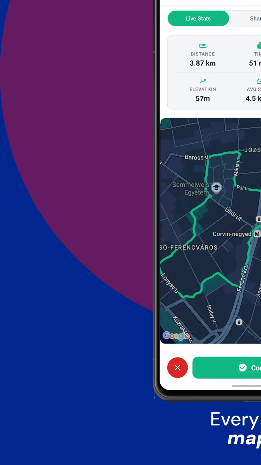
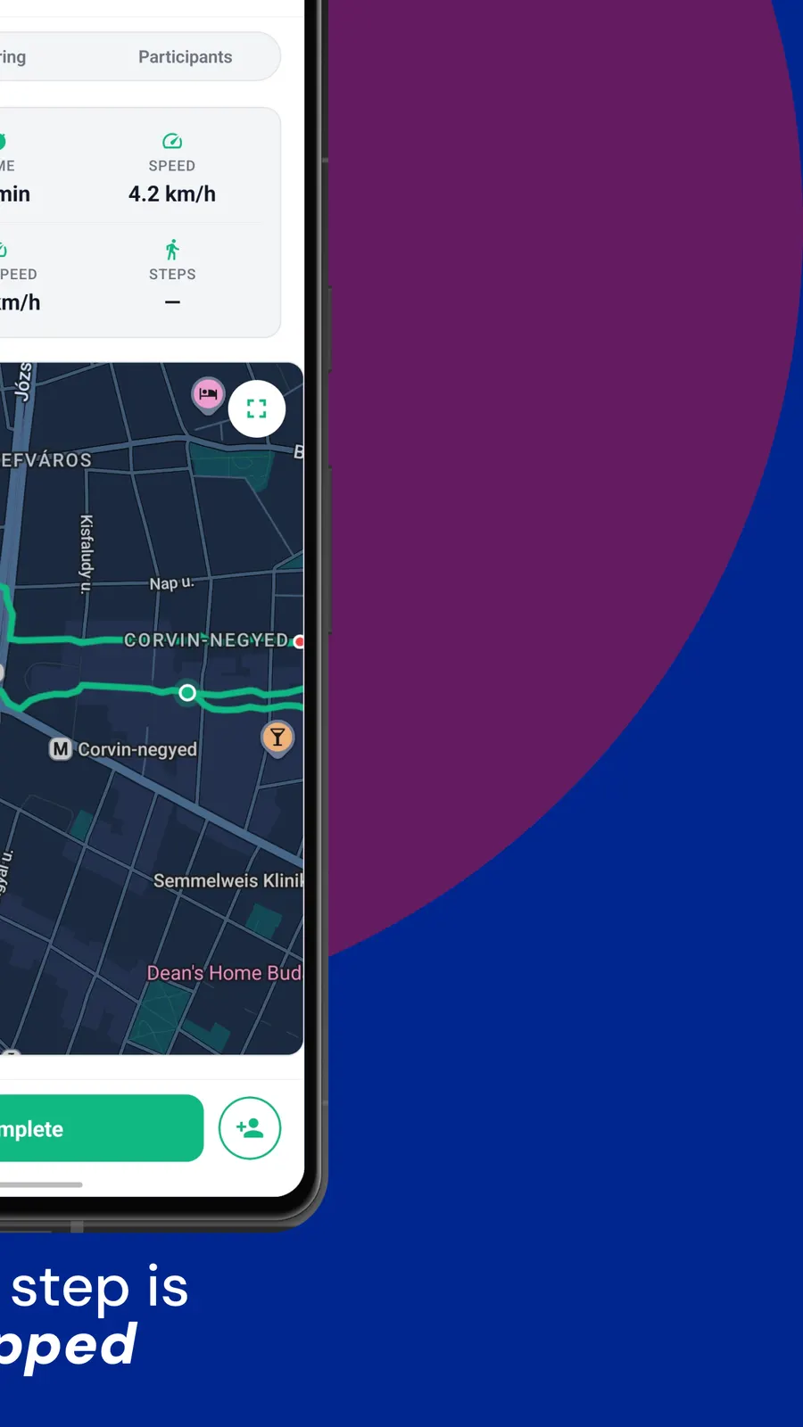
Every route recorded by GPS and drawn on a map you can look back at.
Real reviews from walkers, on the app stores and right here on the web.
Looking forward to finding some local walks in my city, cool idea.
Google Play review
Android user
I really like the idea. Seems like I'm the first walker in my city, but the concept is exactly what I wanted.
Google Play review
Bucharest
This app helped me leave the house and touch some grass, for real for real.
Google Play review
Android user
Walk With Me is your all-in-one walking app that lets you find walkers in your area and walk together.
Walk With Me is a route mapper with people built in.
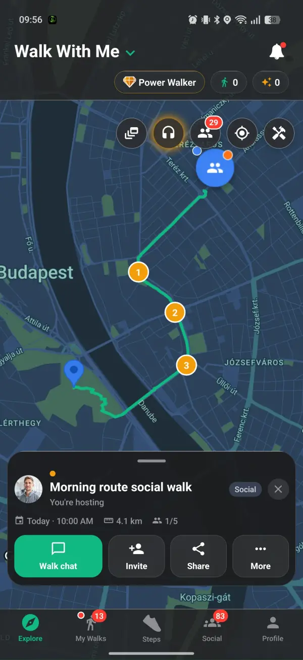
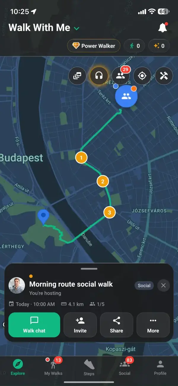
Draw the walk you have in mind and drop up to five stops along the way, so the route on the map is the route your feet follow. A riverside stretch, a detour past a particular cafe, a climb you have been meaning to try: each becomes a point on the line rather than a vague direction. The map holds the plan for as long as the walk exists, which means you can build a good loop once and bring it back whenever you feel like walking it again.
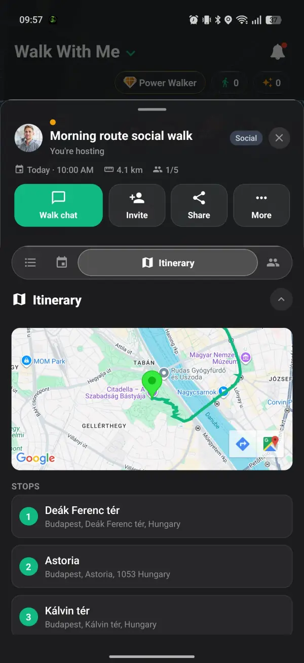
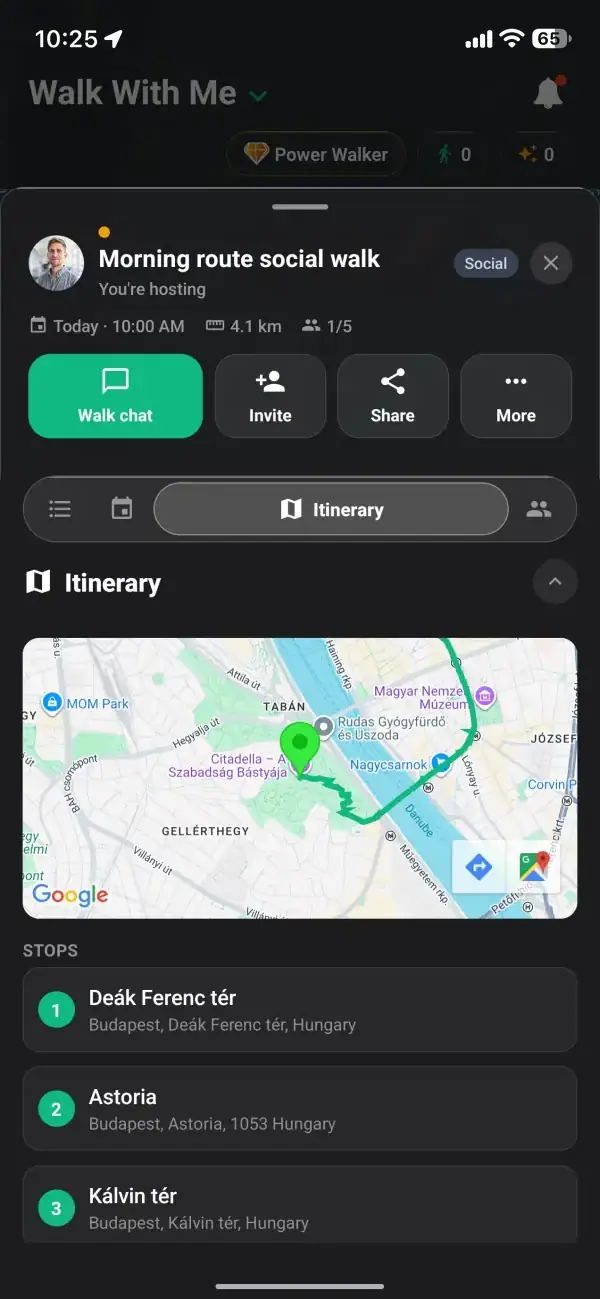
Most maps give you one dot and hope for the best. On every plan the meeting point, the starting point, and where you finish can be three separate places you set on purpose. You can gather everyone by a landmark that is easy to find, begin the walk a short distance away, and end somewhere with a coffee waiting. On the public map the walk's pin is shifted a little from its real spot, and once you set off, your live precise location goes only to the walkers you accepted.
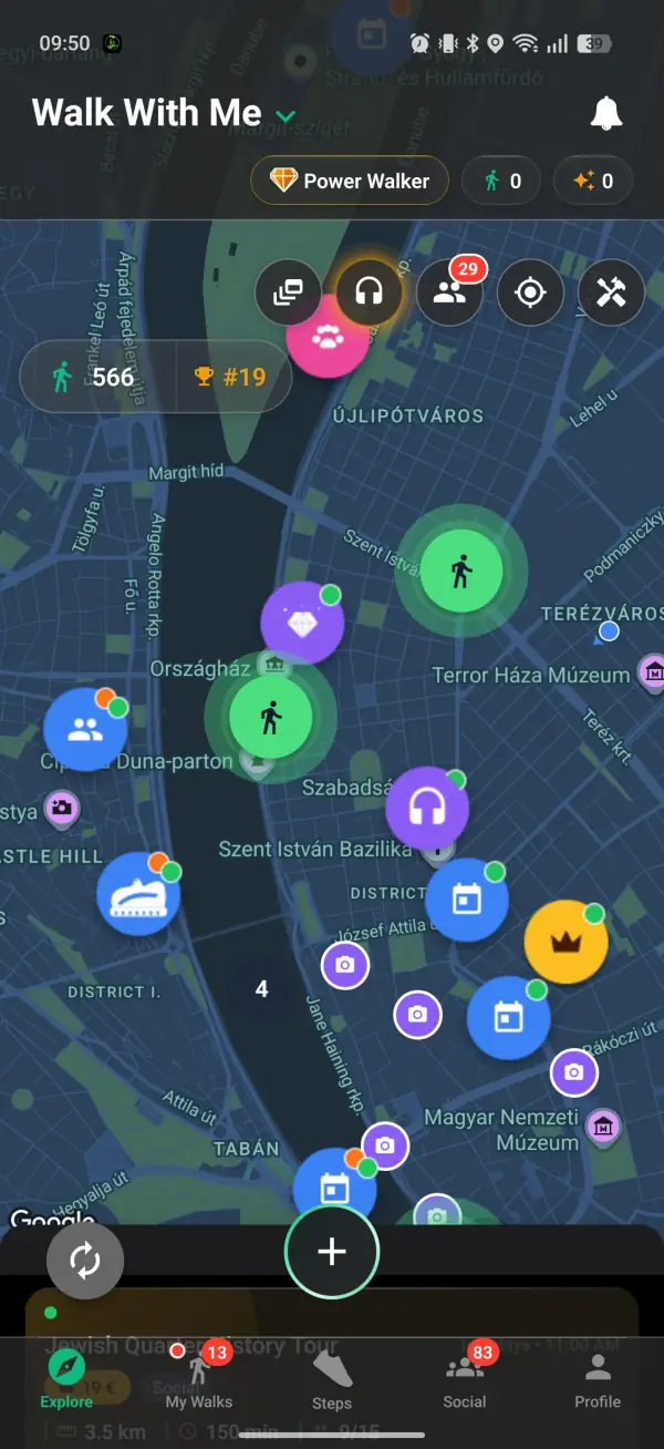
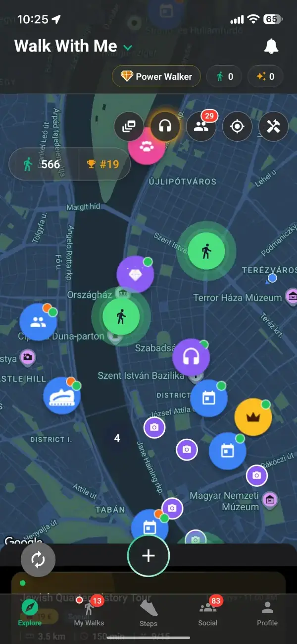
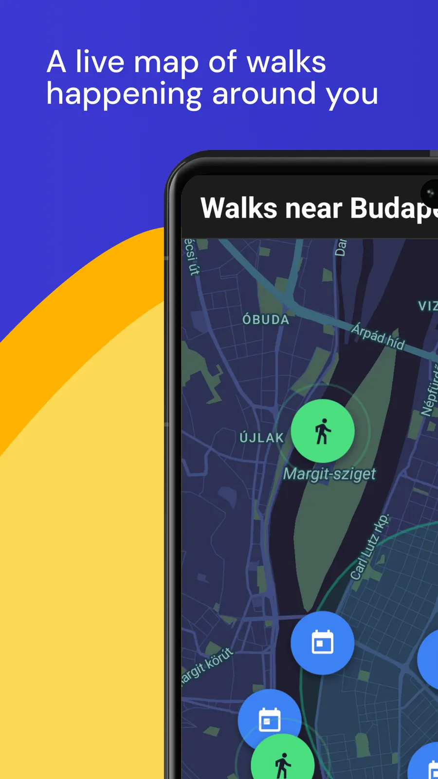
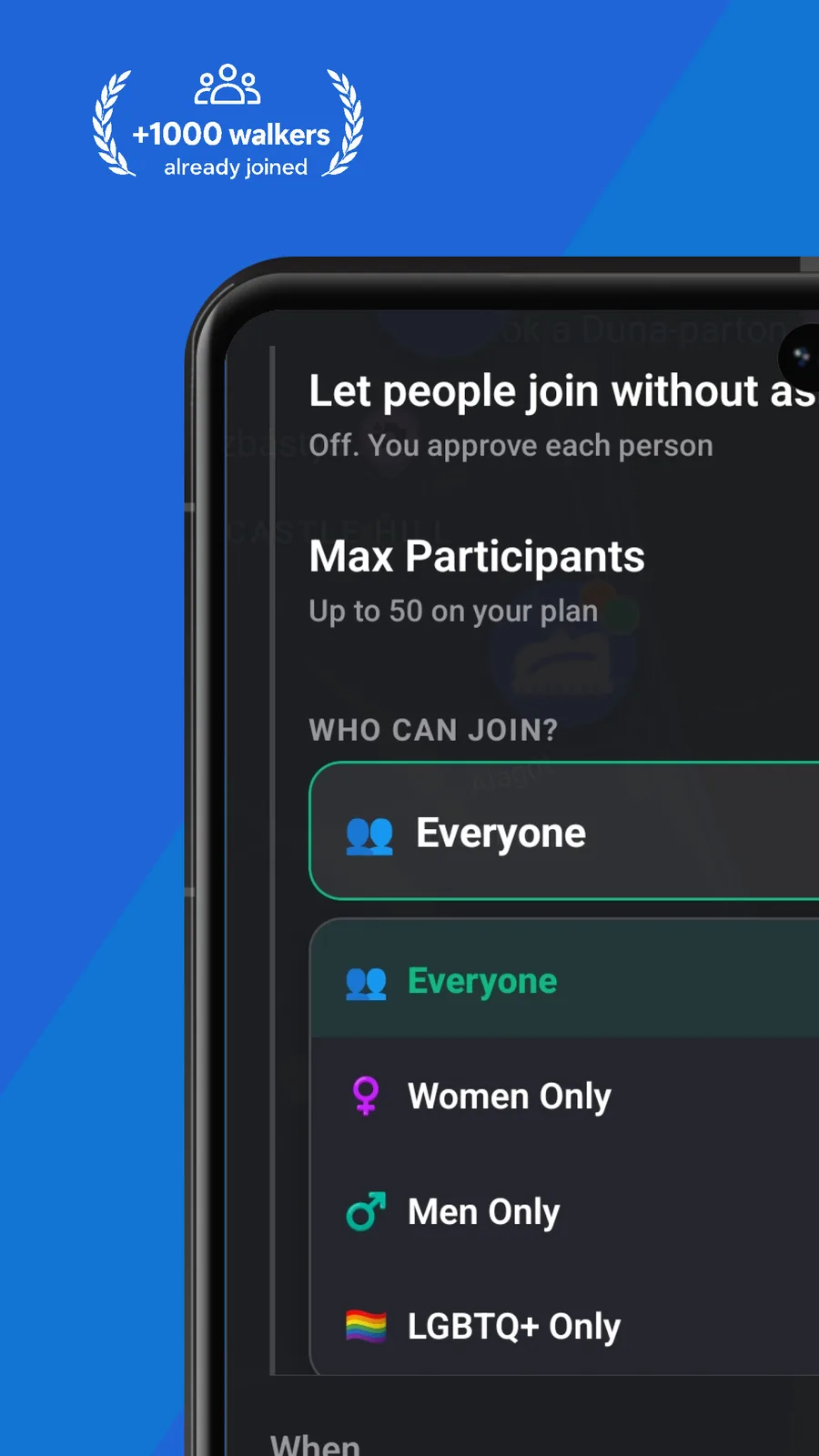
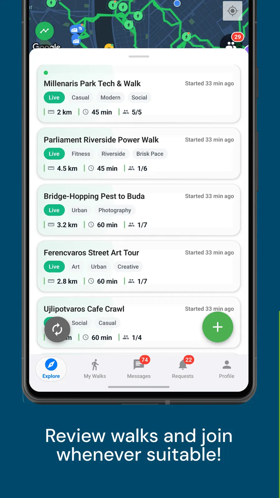
A route is more fun with company, so every map you draw can be opened to other people. Post it and walkers nearby can ask to join; you approve who comes, then set off together along the path you laid out. Open the live map and you will see other walks plotted around you too, each one a route someone else is offering to share. Mapping a walk and finding a walking partner stop being two separate errands and become the same tap.
Explore walks near youFrom download to your first group walk in minutes.
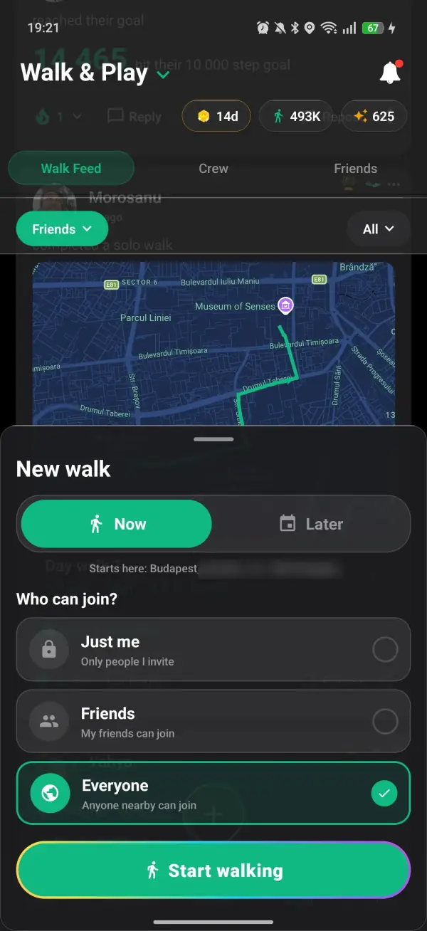
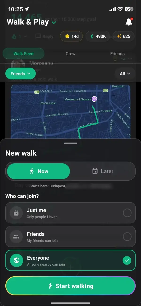
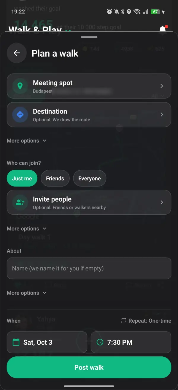
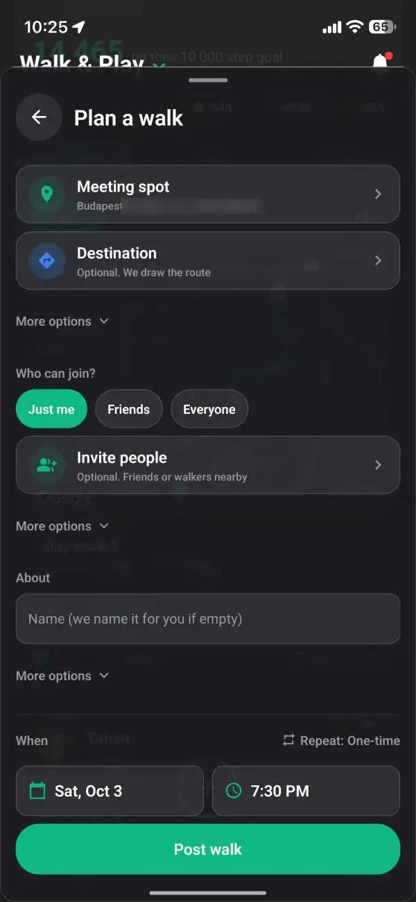
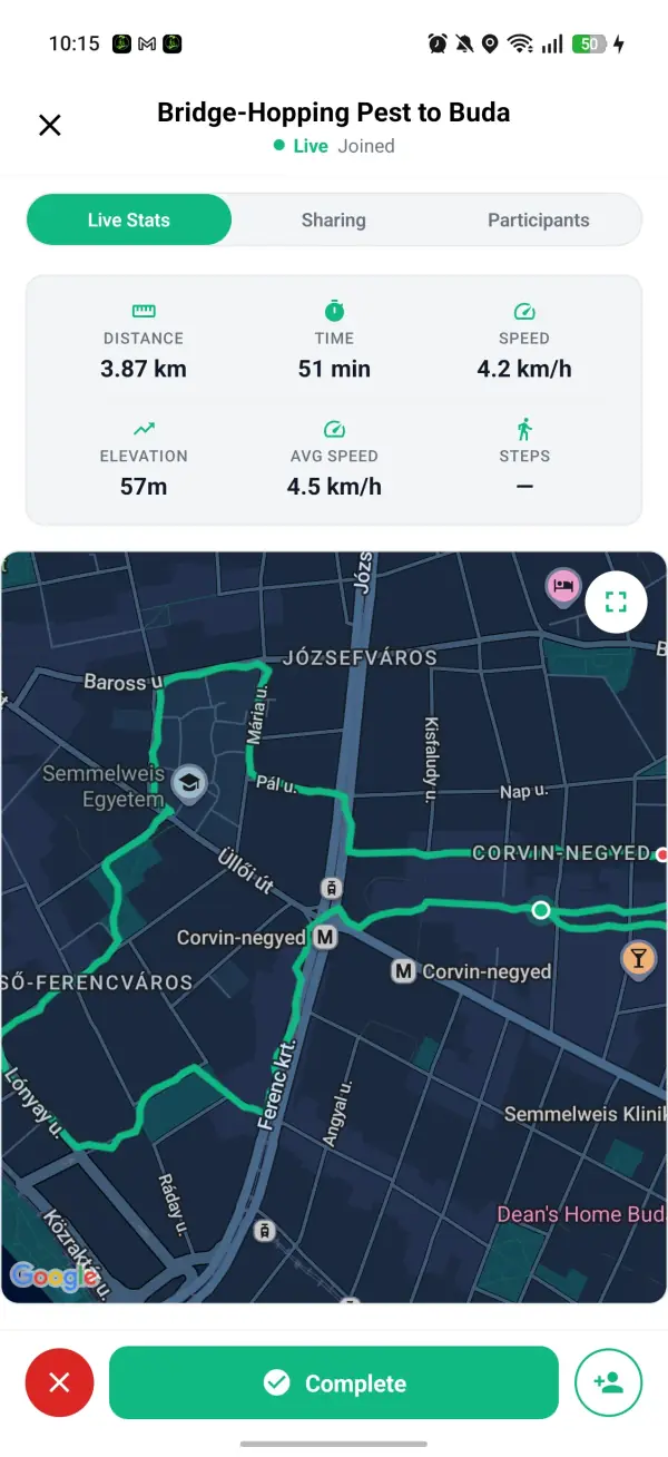
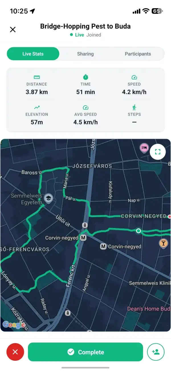
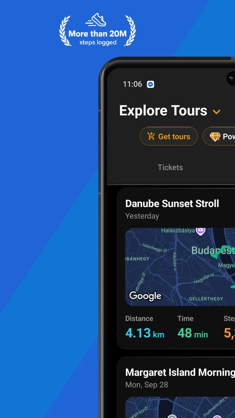
A step counter and walk tracker in the app logs every walk you take, on your own or with the group.
Your safety and comfort are at the heart of everything we build.
An app that records your walking route with GPS and draws it on a map. A good walk mapper captures distance and duration, keeps a history of your routes, and measures your consistency. Walk With Me adds a live map of other people's walks so yours don't have to be solo.
Your walks deserve better than a guess. Walk With Me records every route with GPS, draws it on a map, and turns your walking history into something you can actually see, alongside a live map of walks happening around you.
Start a walk and GPS records it from the first step to the last. When you finish, your route is drawn on the map with distance and duration, so you always know exactly where you walked and how far.
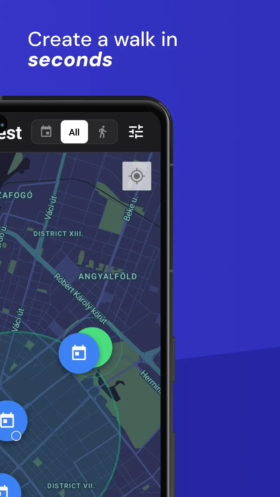
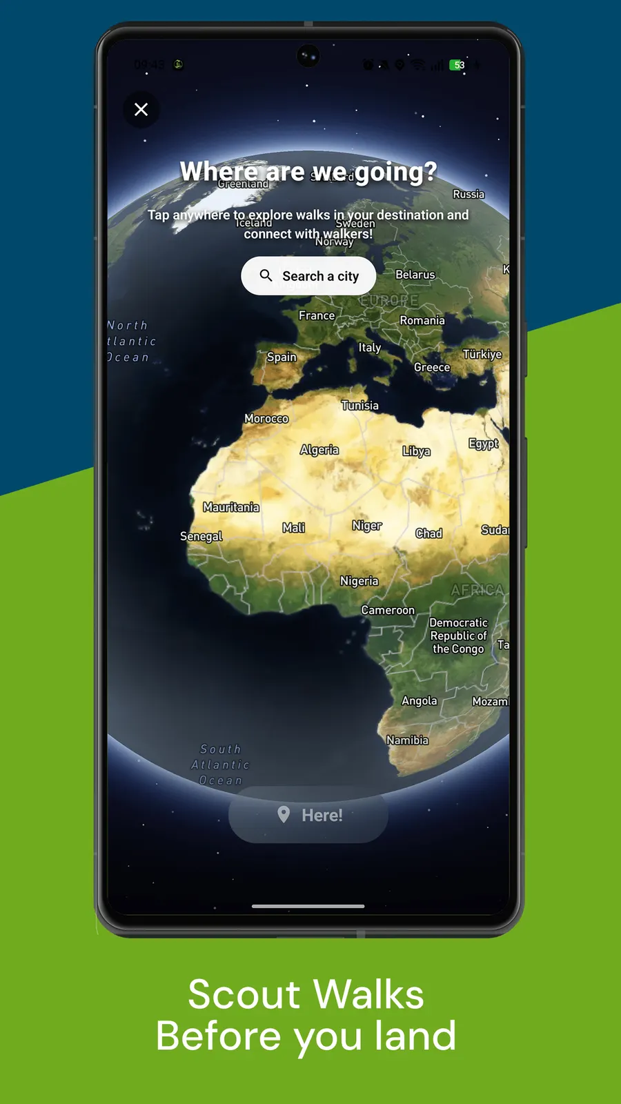
Most walk mappers show you an empty map. Ours shows walks happening near you: live walks glow on the map and scheduled ones show a start time, so the same map that records your routes can also find you company.
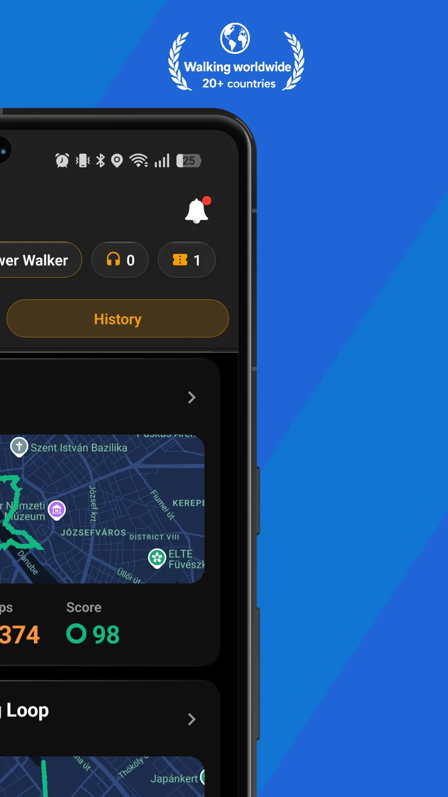
With Premium, every recorded walk gets a Walk Score in its walk report, so a slow wander and a brisk training walk don't look the same in your history. Watch your score improve as your walking habit builds.
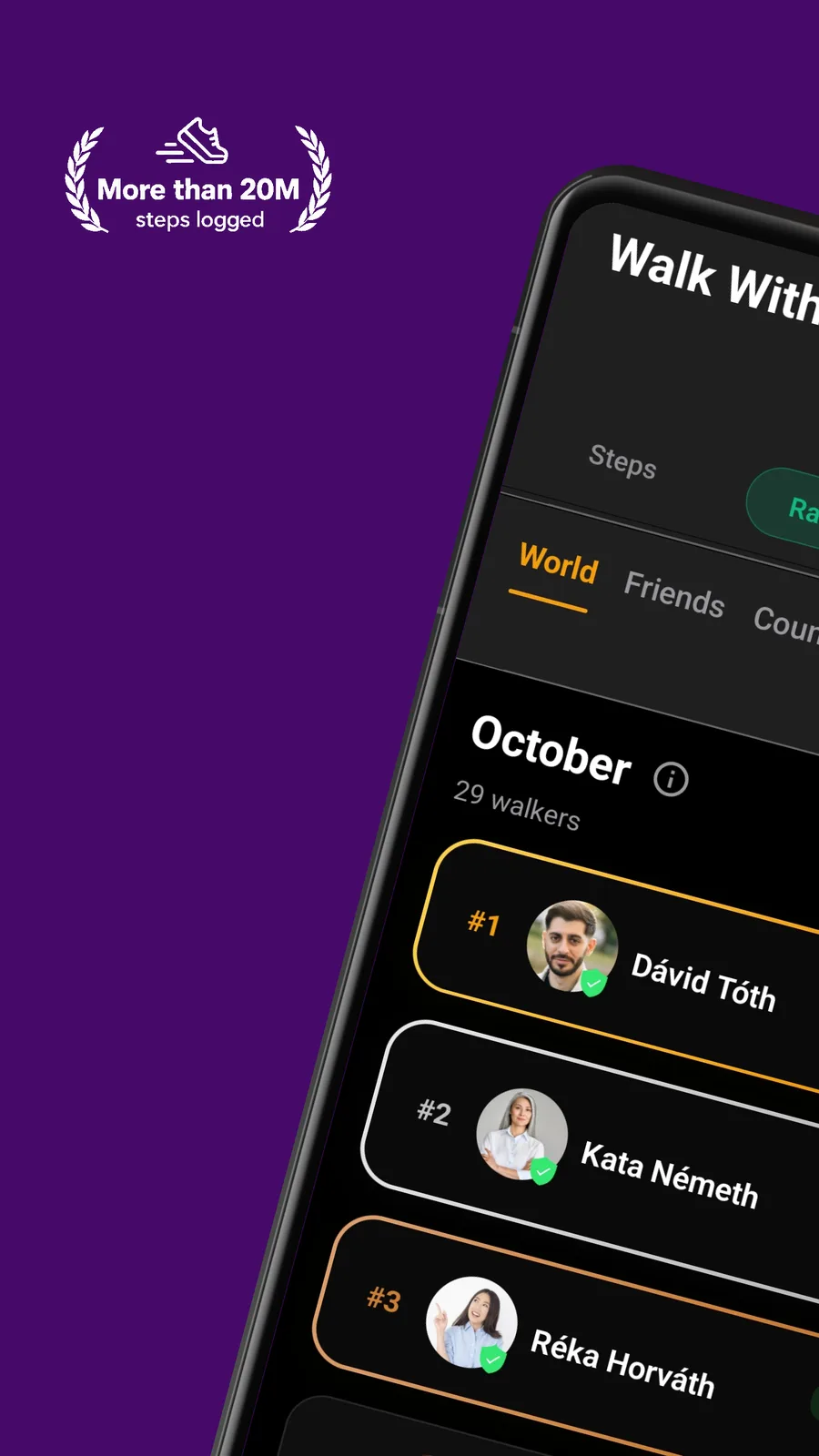
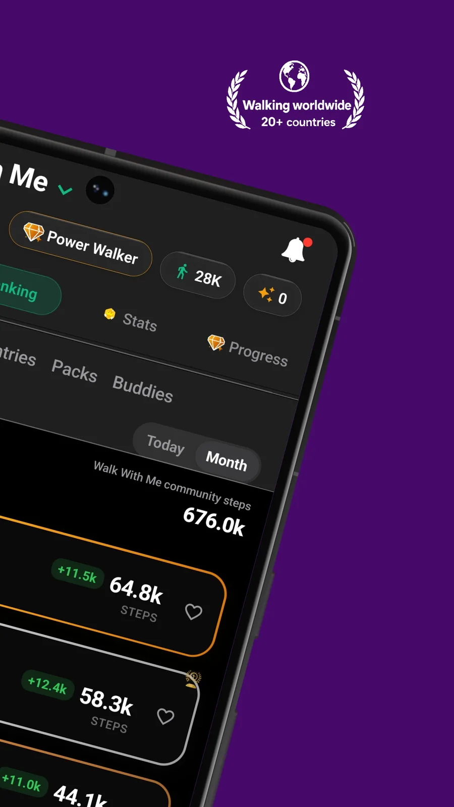
Your daily steps come in from Apple Health or Health Connect, daily step goals give you a target, and Premium adds streaks to keep you honest. The map shows where you walked; the stats show how consistently you show up.
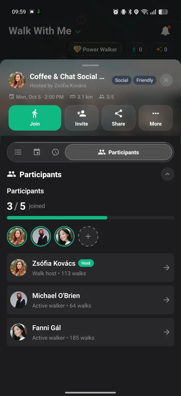
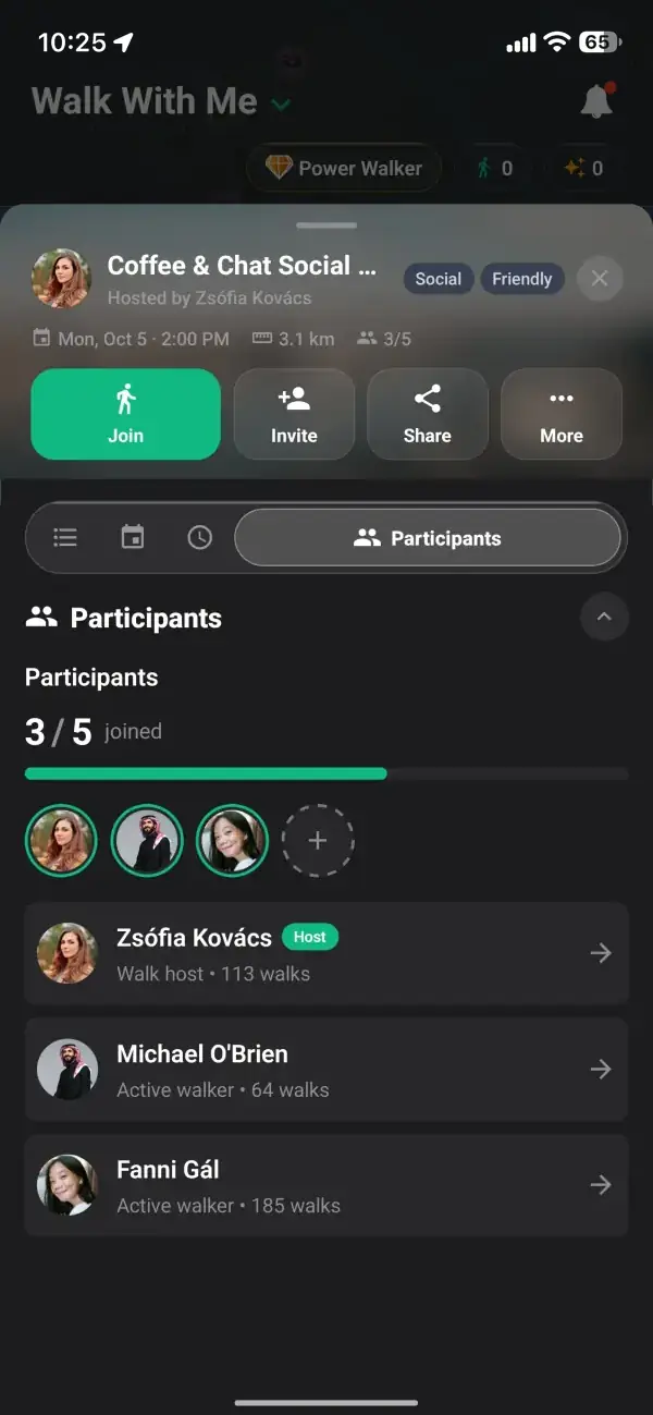
Create a walk and it appears on the live map for others to find. People request to join, you approve who comes along, and your mapped route becomes a shared one.
Every tracked walk is saved to your history with its route and key stats. Scroll back through weeks of walking and see the habit you have built, one mapped route at a time.
As a walk mapper, Walk With Me tracks your route with GPS, lets you plan paths with up to five stops, and displays nearby walks on a live map.
A walk mapper records the route you actually took, a walking tracker turns that history into streaks and stats, and for a group hike the same GPS route becomes a plan others can follow to a shared meeting point.