



Google Play
Looking forward to finding some local walks in my city, cool idea.
Google Play review
Android user
Group hikes made simple.
Real reviews from walkers, on the app stores and right here on the web.
Looking forward to finding some local walks in my city, cool idea.
Google Play review
Android user
I really like the idea. Seems like I'm the first walker in my city, but the concept is exactly what I wanted.
Google Play review
Bucharest
This app helped me leave the house and touch some grass, for real for real.
Google Play review
Android user
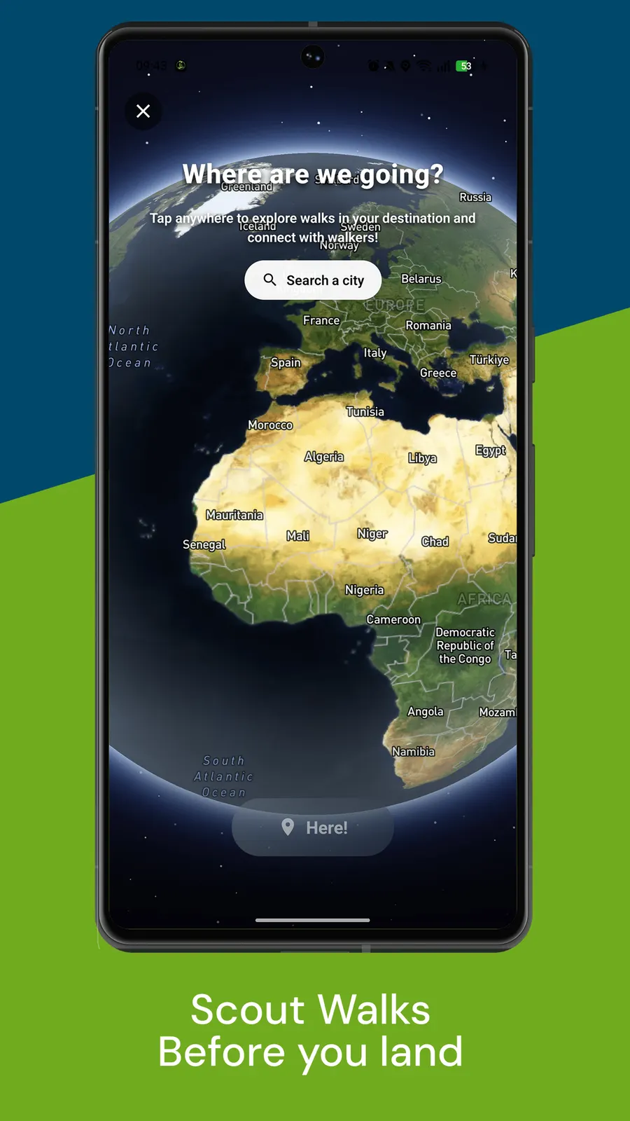
Walk With Me is your all-in-one walking app that lets you find walkers in your area and walk together.
A hike is not a stroll, and the app treats it that way. Three things make group hikes work.
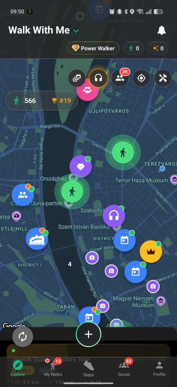
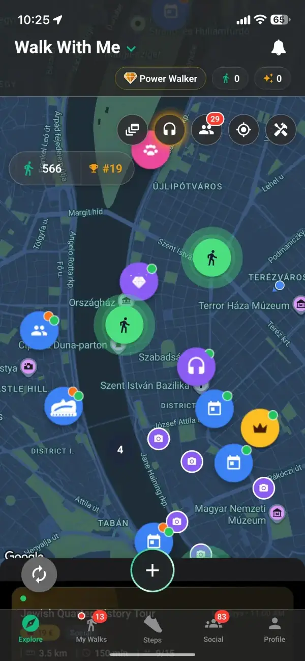
Hikes get their own purpose marker, so a proper trail walk is never buried among the casual laps of the park. When you set one up, the route you draw carries its own distance and climb, worked out from the ground along the way, anywhere from flat to a steep thirty percent, and it can run long enough for a proper day on the trail. Other hikers see that before they ask to join, which means the people who turn up are ready for the climb you have in mind rather than expecting a gentle afternoon amble.
Explore the full walking app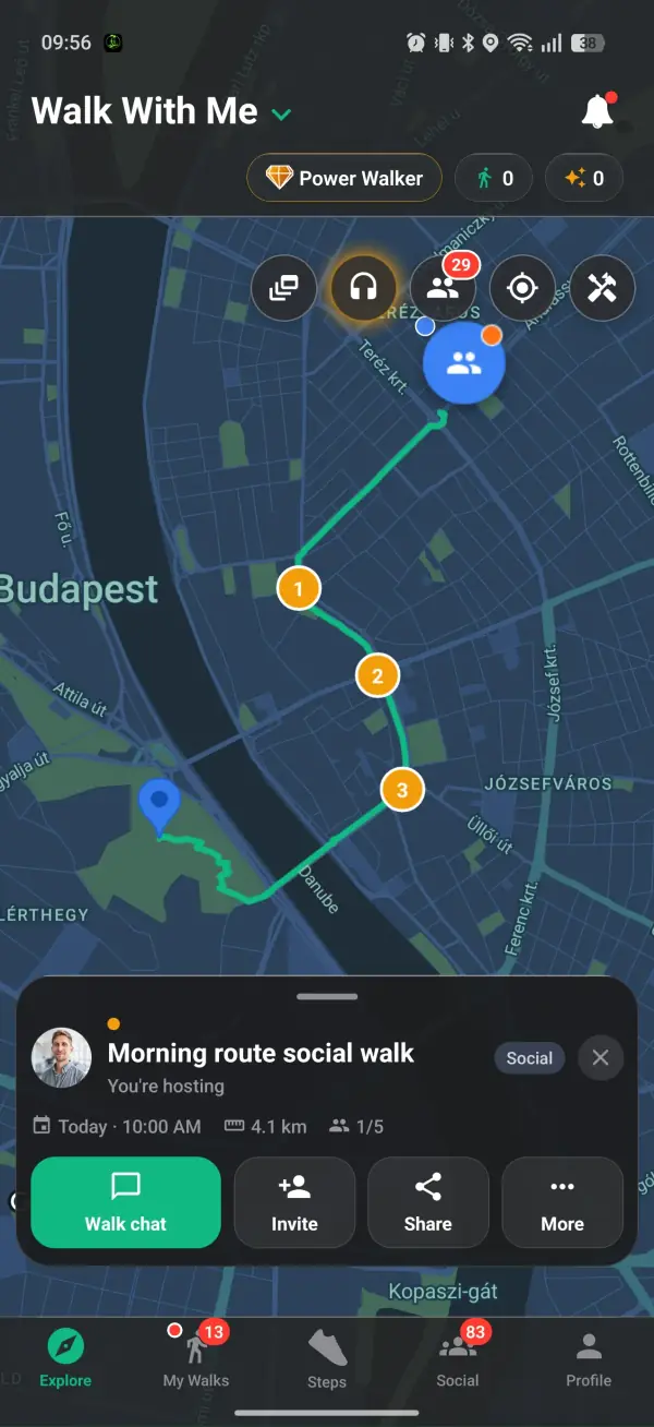
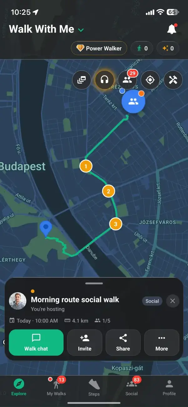
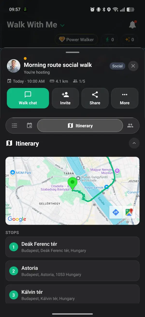
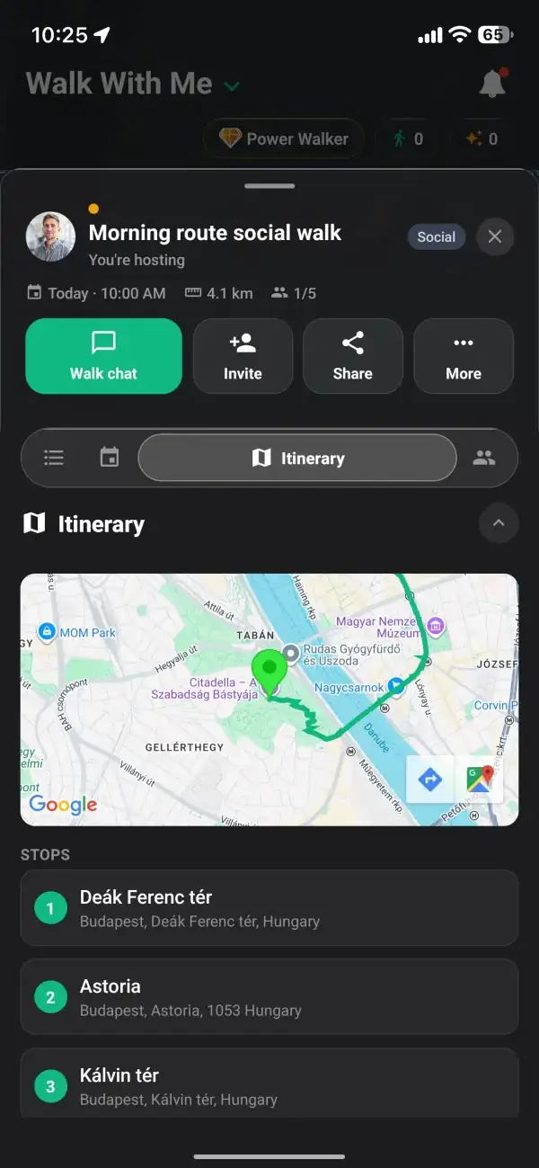
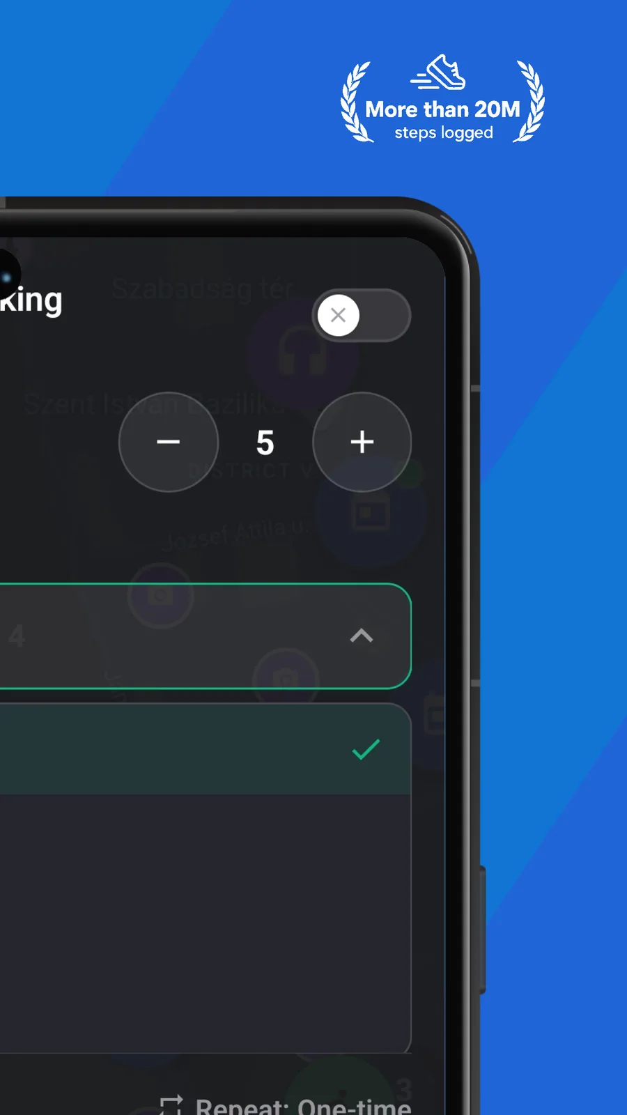
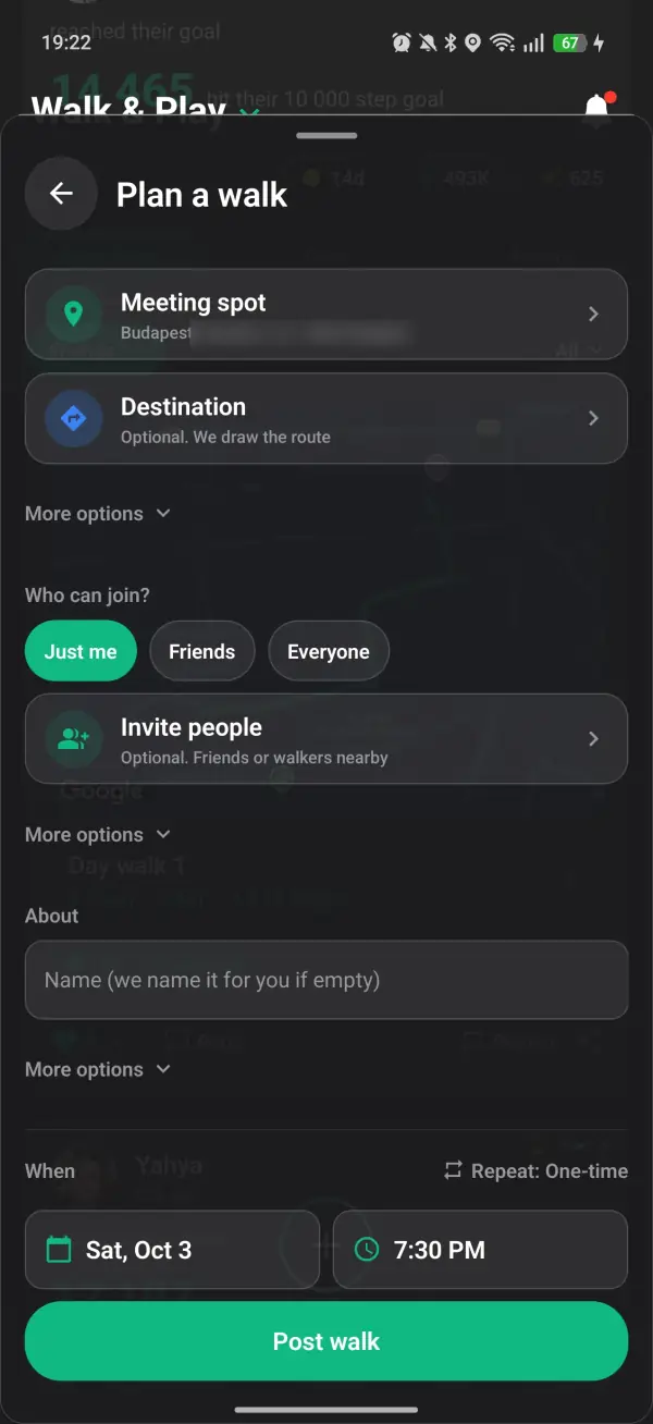
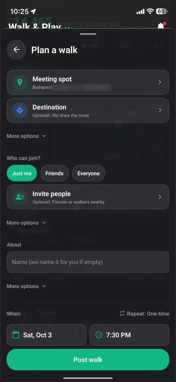
A vague meet at the trailhead is how group hikes go wrong. Instead you can pin an itinerary with up to five stops along the exact route, and you can also set the meeting point, the starting point and the destination as separate places, so the whole trail is agreed before anyone laces a boot. Everyone can see where the hike goes, how far it runs and where it ends, which matters far more on a long climb than on a lap of the block. It turns the up front planning, the part that keeps a hike safe and sane, into a couple of taps on a map.
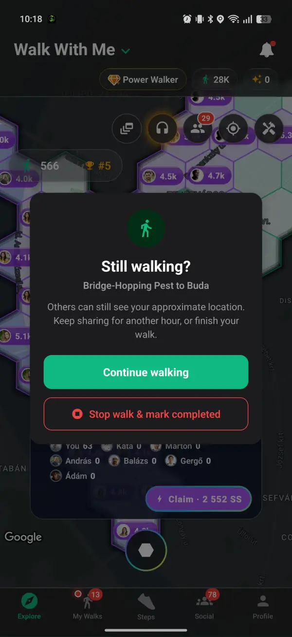
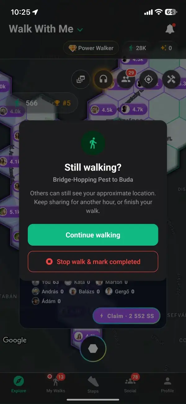
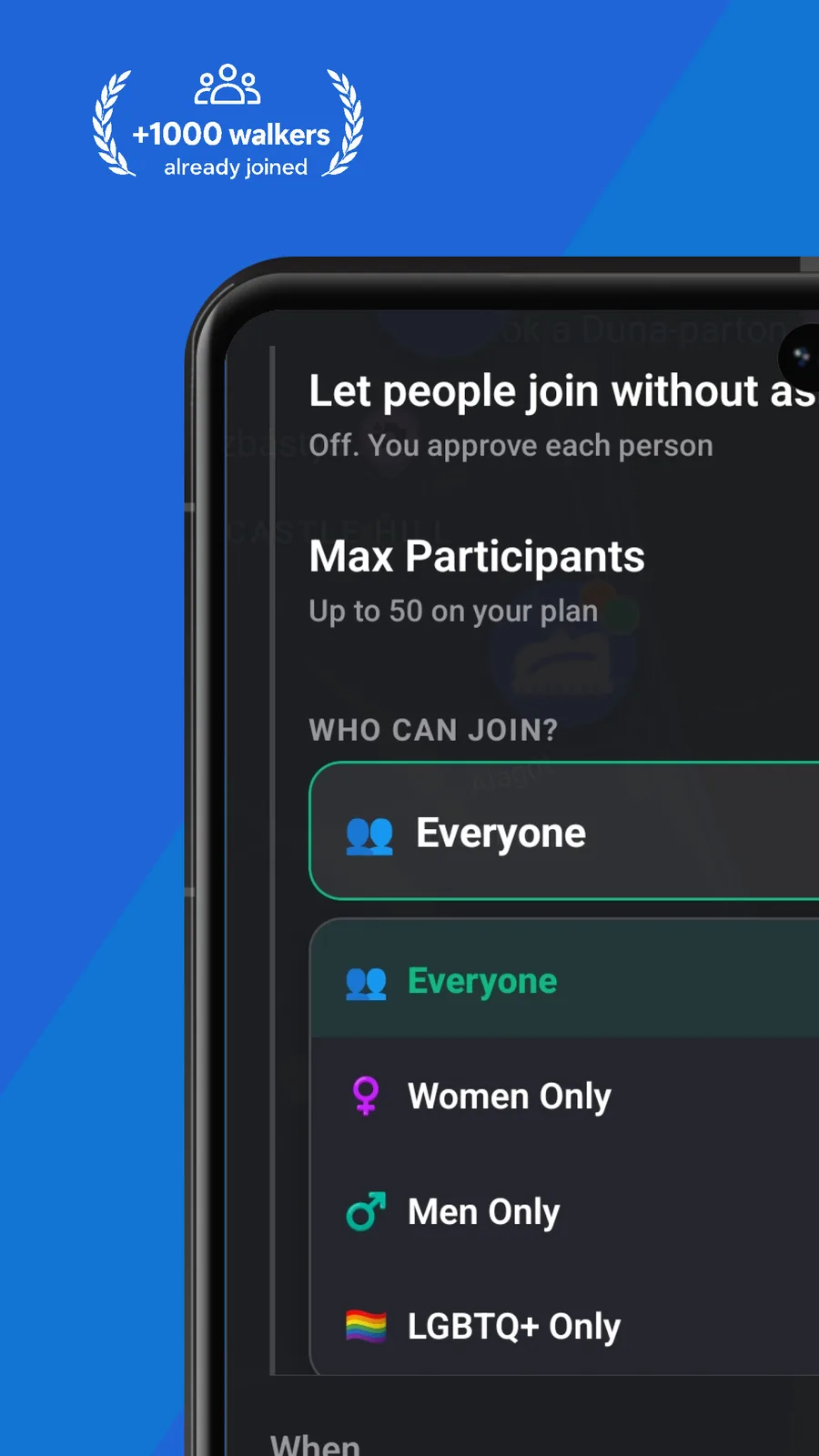
Trails take you out of the everyday, which is exactly why a safety net matters. On longer hikes the host gets a check in with a grace window asking whether the hike is still going, so the group's live pin keeps sharing while you are out and comes down once you are done. Join requests go to the host for approval by default, so the group heading up the mountain is one the organiser actually vetted, not whoever wandered past. Between the approvals, the shared route and the check in, a group hike carries the kind of quiet backup that makes heading somewhere remote feel sensible rather than reckless.
From download to your first group walk in minutes.
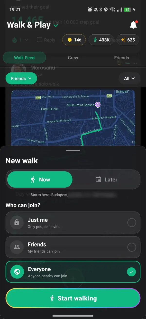
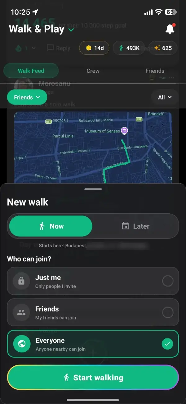
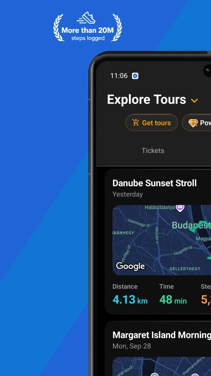
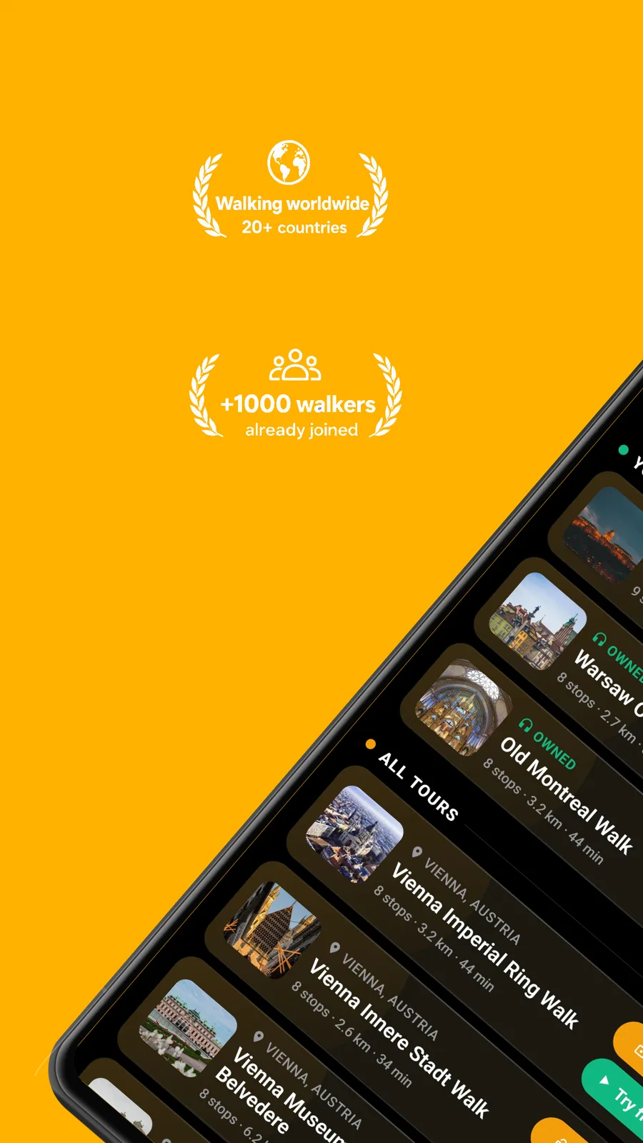
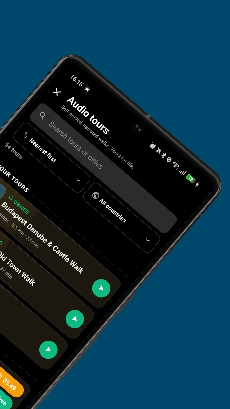
Browse walking tours, group hikes, and city walks hosted by local guides, agencies and fellow walkers.
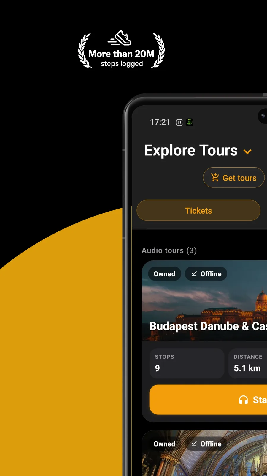
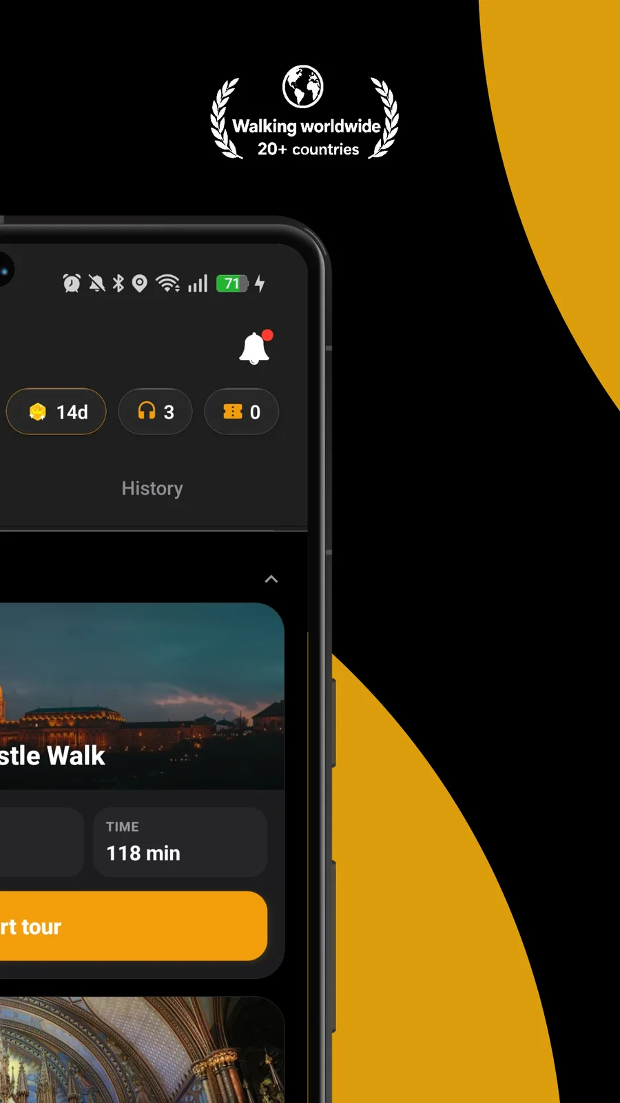
Your safety and comfort are at the heart of everything we build.
A mobile app for planning and joining group hikes with route building, meeting point coordination, and social discovery features.
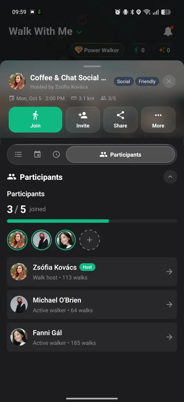
Solo hiking can be incredible, but it can also feel isolating or unsafe. Walk With Me lets you plan group hikes with a full itinerary builder: set your meeting point, starting point, route waypoints, and destination. Tag your walk as a hiking trail and find outdoor walking enthusiasts nearby who want to explore trails with you. Whether you're planning a weekend mountain hike or a casual nature walk, having a group makes it safer and more fun.
Plan outdoor hikes, set your trail, and find hikers who want to join.
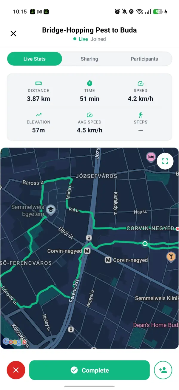
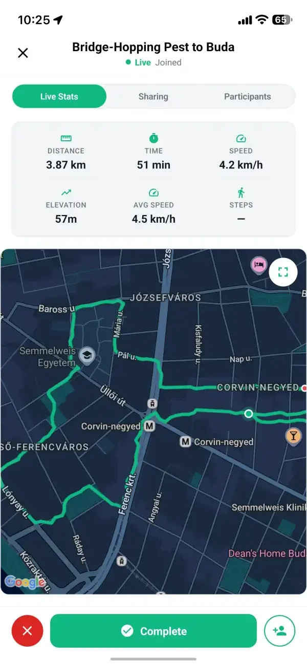
Use the full itinerary builder to map your hiking route. Set custom waypoints along the trail, plan where you'll stop, and share the complete route with everyone who joins. Google Maps powers the route planning so you can see distance and estimated time.
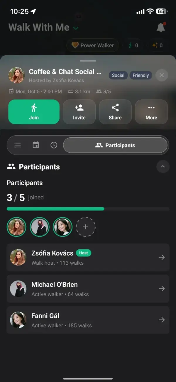
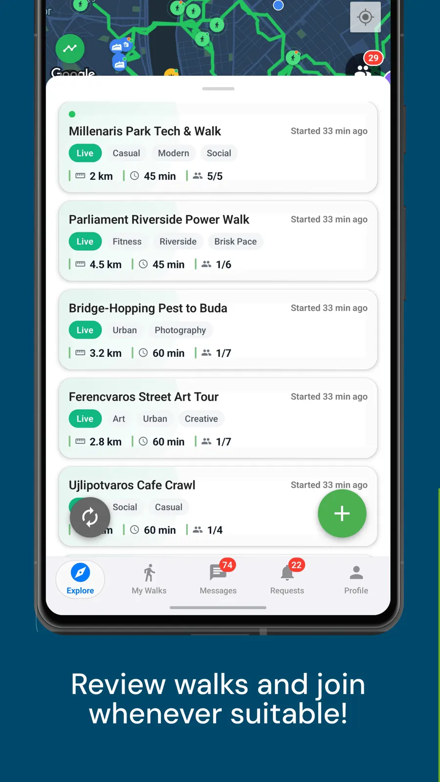
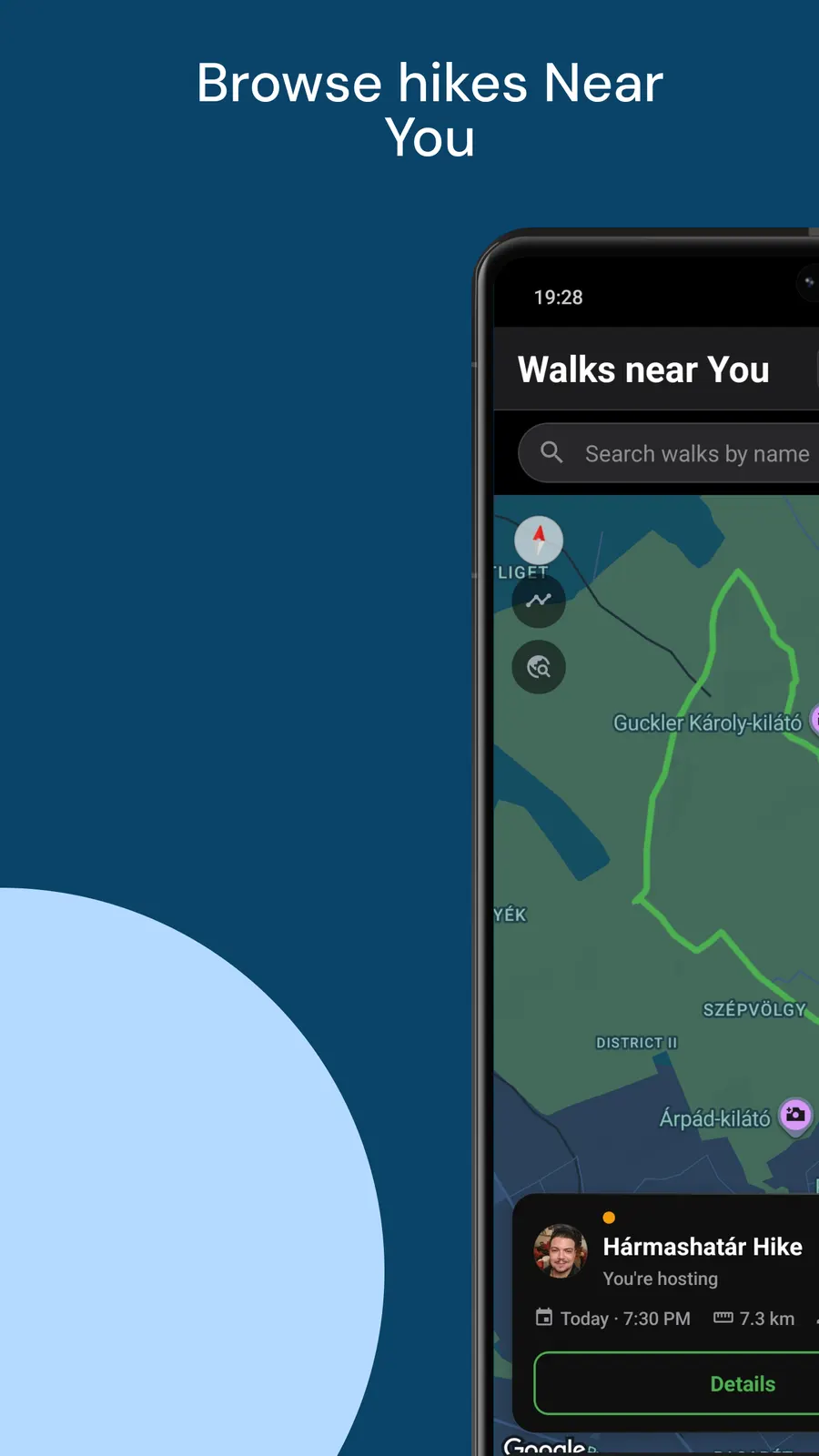
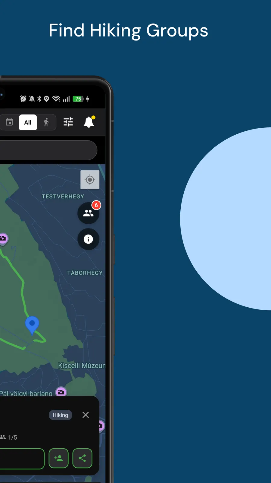
Open the map and discover outdoor walks and hikes happening near you. Filter by the Hiking interest, distance, length and duration to find hikes that match your fitness level. Request to join and meet at the meeting point.
Walk With Me lets you set a separate meeting point and starting point. Meet your hiking group at a station or parking area, then head to the trailhead together. Set the destination so everyone knows where the hike ends.
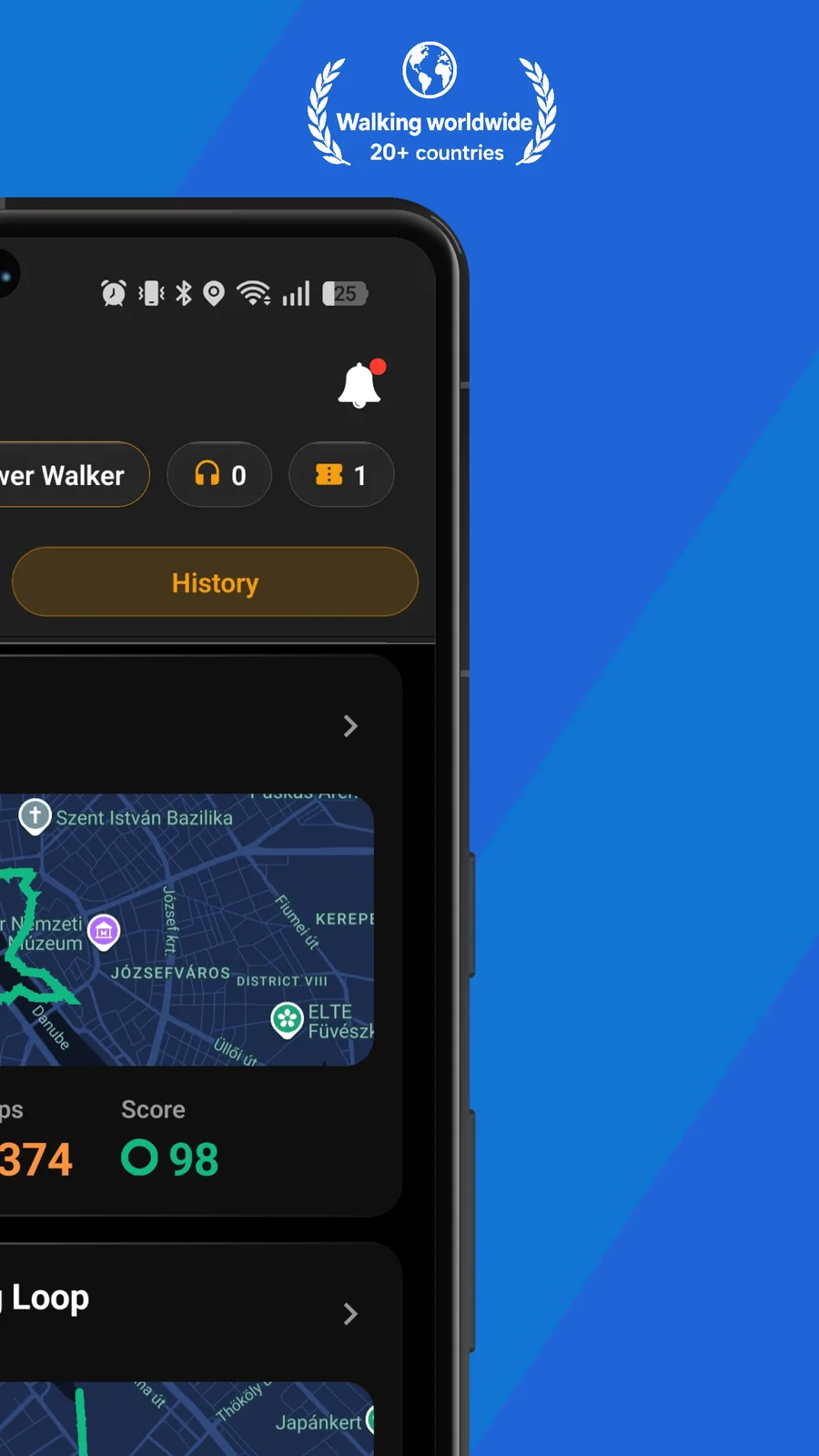
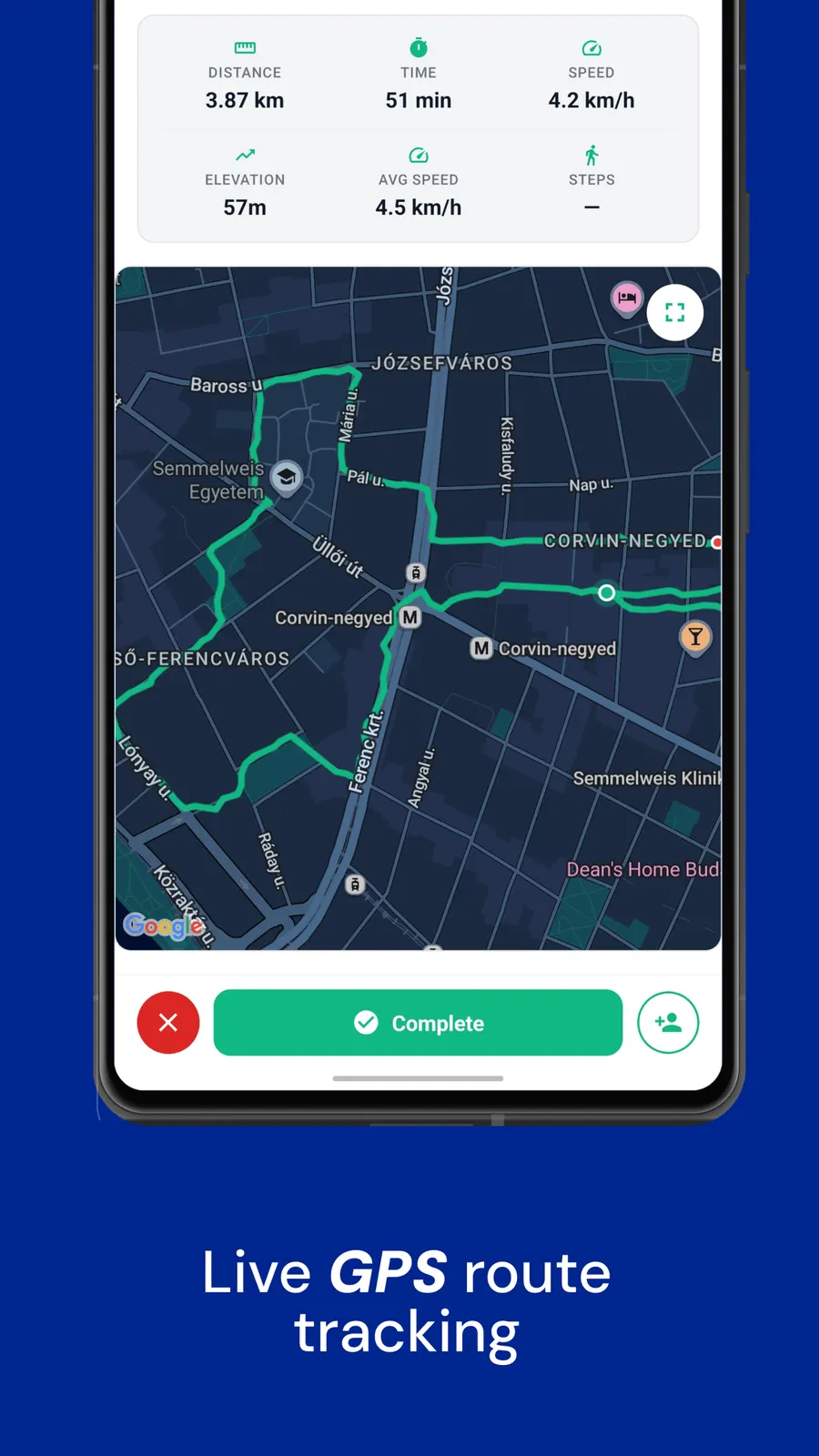
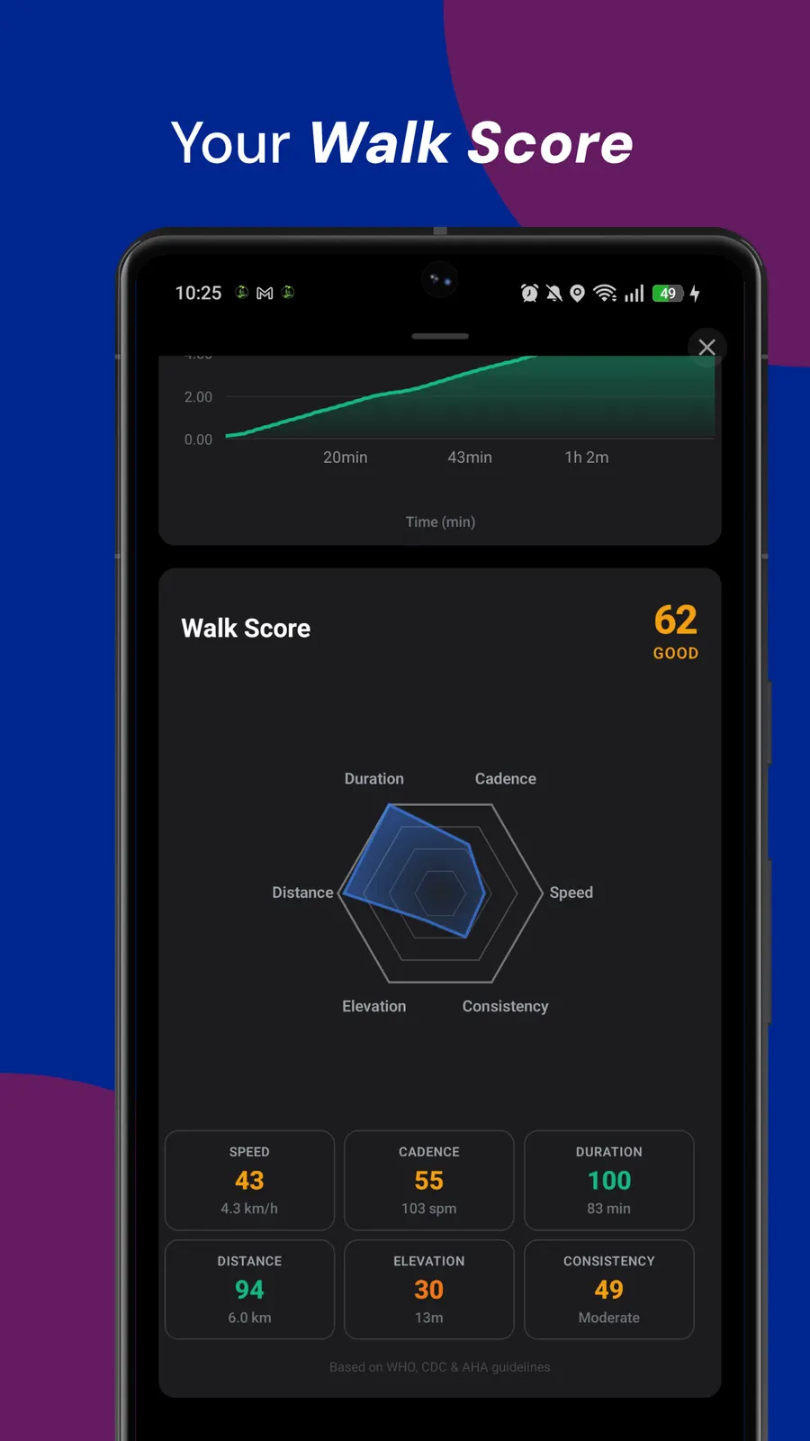
A walk mapper records the route you actually took, a walking tracker turns that history into streaks and stats, and for a group hike the same GPS route becomes a plan others can follow to a shared meeting point.