




Google Play
Looking forward to finding some local walks in my city, cool idea.
Google Play review
Android user
Pick a shape, place it on the map and walk it. Your GPS line is the drawing.
Coming soon to the app
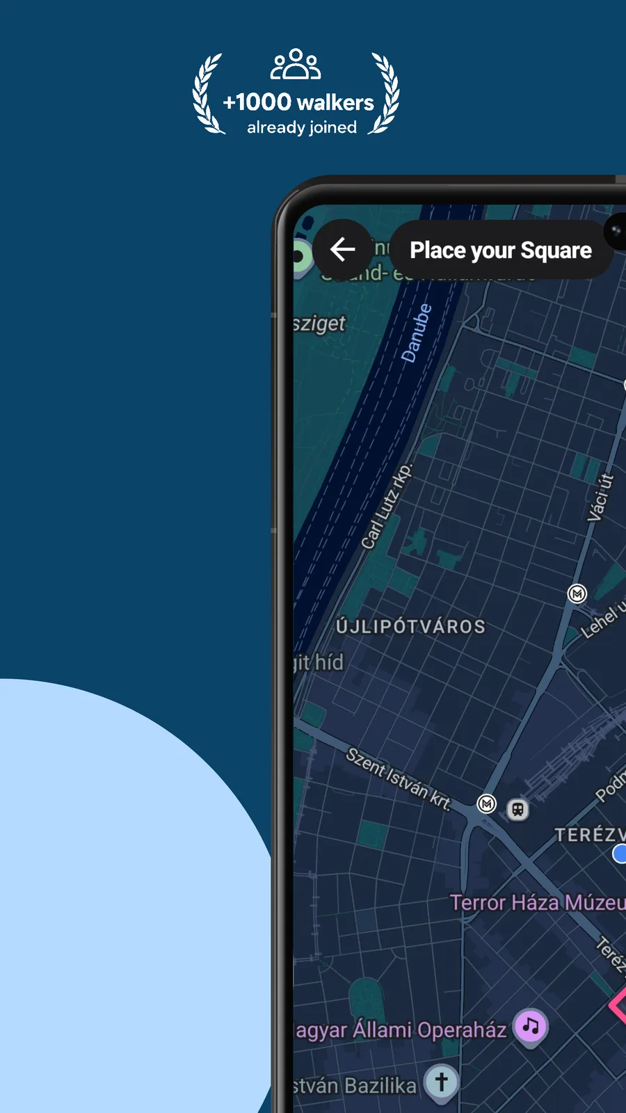
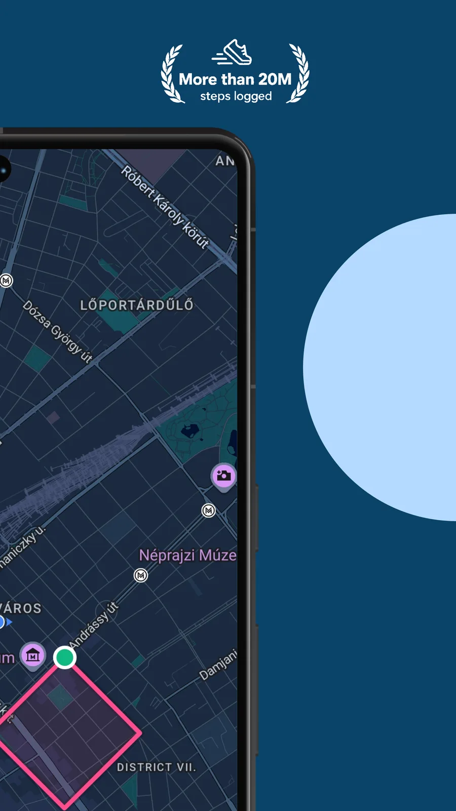
Choose a shape, fit it to real streets, then walk the loop. The closer your line, the better the match.
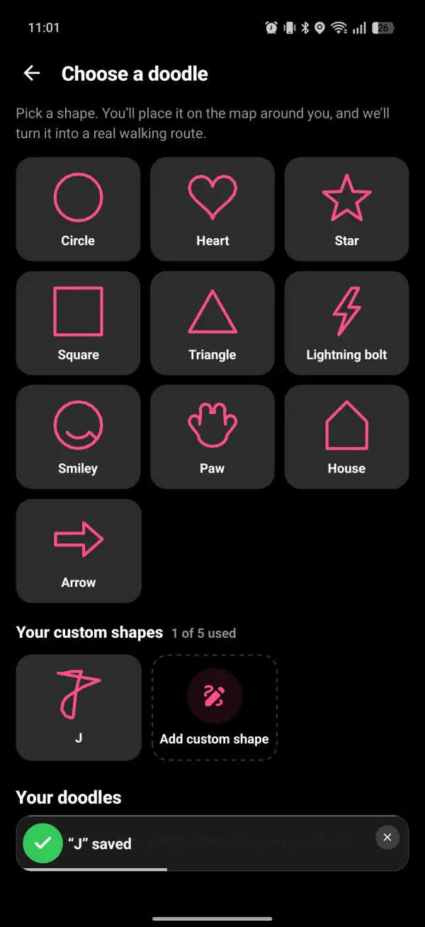
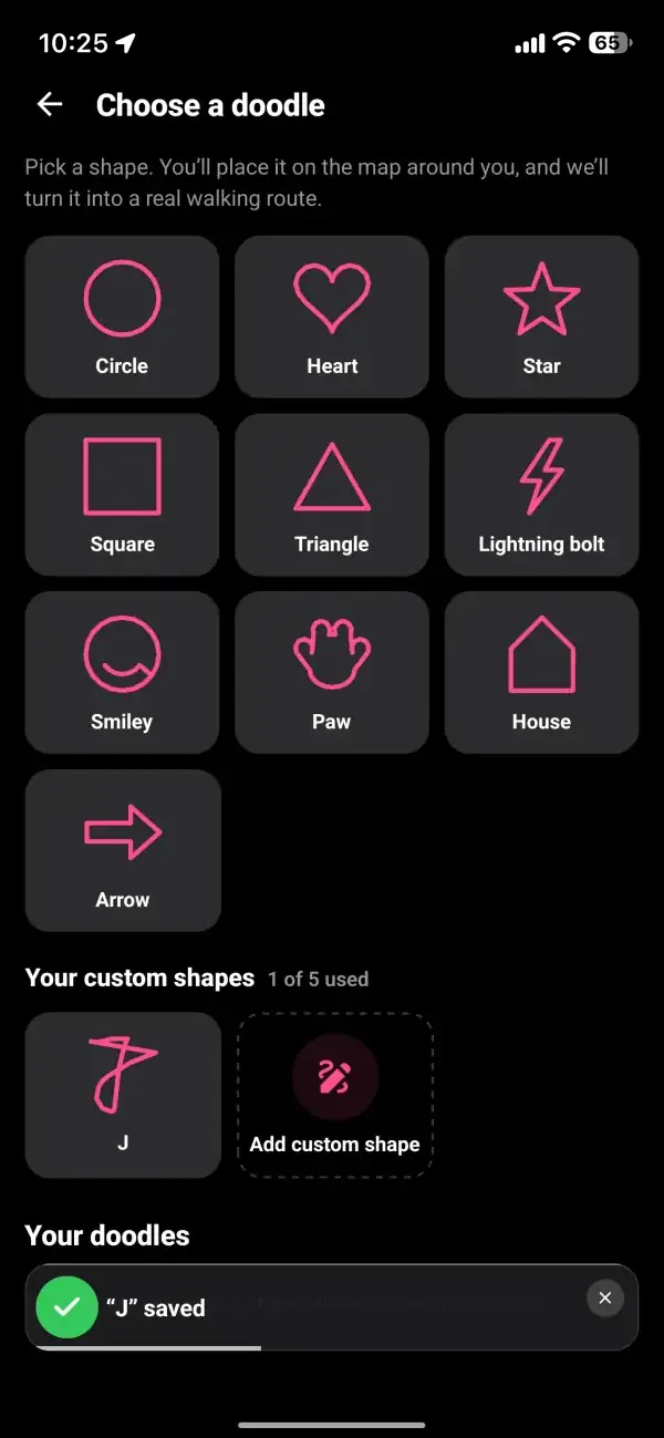
Open Doodle from the games menu and pick from ten shapes: a circle, a heart, a star, a square, a triangle, a lightning bolt, a smiley, a paw, a house or an arrow. Or sketch your own on the drawing pad and save it as a custom shape.
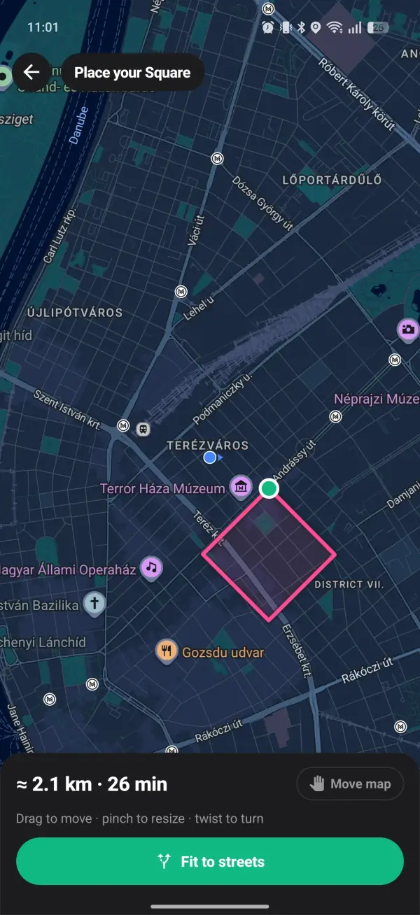
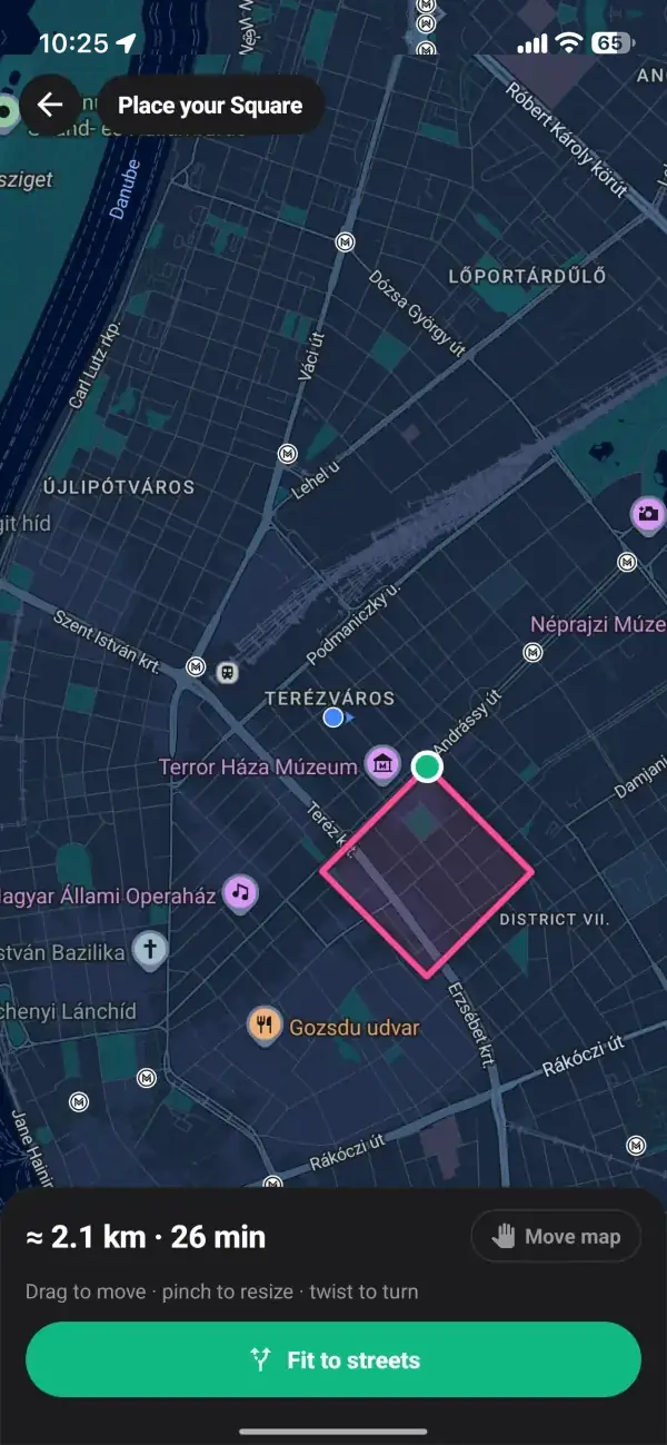
Drop the shape on the map around you. Drag to move it, pinch to resize it and twist to turn it. A readout shows roughly how far it is and how long it will take, and shapes run from 1 km up to 10 km.
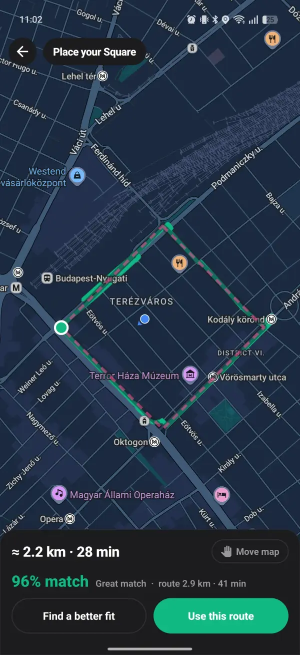
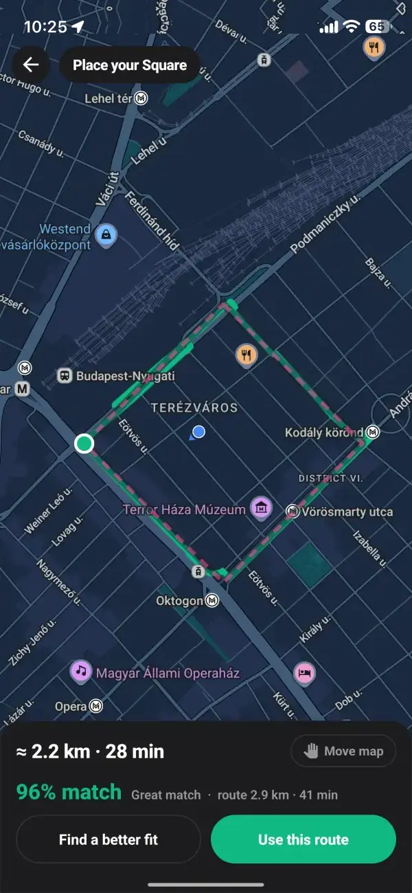
Tap Fit to streets and the app turns your shape into a real walking loop, then tells you how close it is: Great match, Pretty close, or Rough, try moving it. Nudge the shape and fit it again until you like it, then use the route and schedule it as a walk.
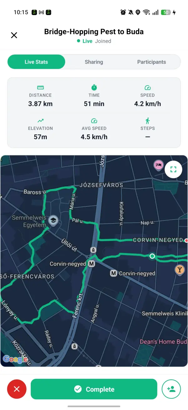
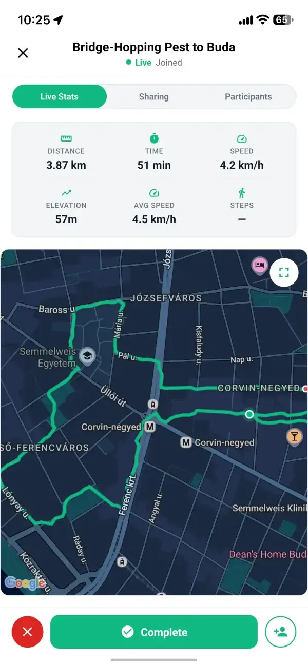
On the walk, the Doodle tab shows your trail over the shape and how much of it you've done. When you finish, the walk report puts the shape next to what you drew, with your match score and a button to share it.
GPS Doodle scores the line you actually walk, so shortcuts show.
Real reviews from walkers, on the app stores and right here on the web.
Looking forward to finding some local walks in my city, cool idea.
Google Play review
Android user
I really like the idea. Seems like I'm the first walker in my city, but the concept is exactly what I wanted.
Google Play review
Bucharest
This app helped me leave the house and touch some grass, for real for real.
Google Play review
Android user
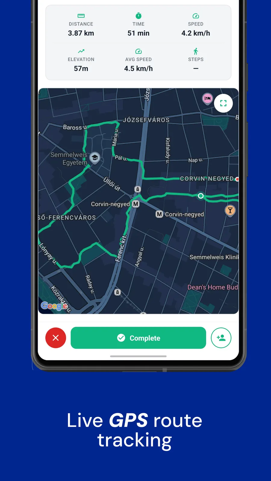
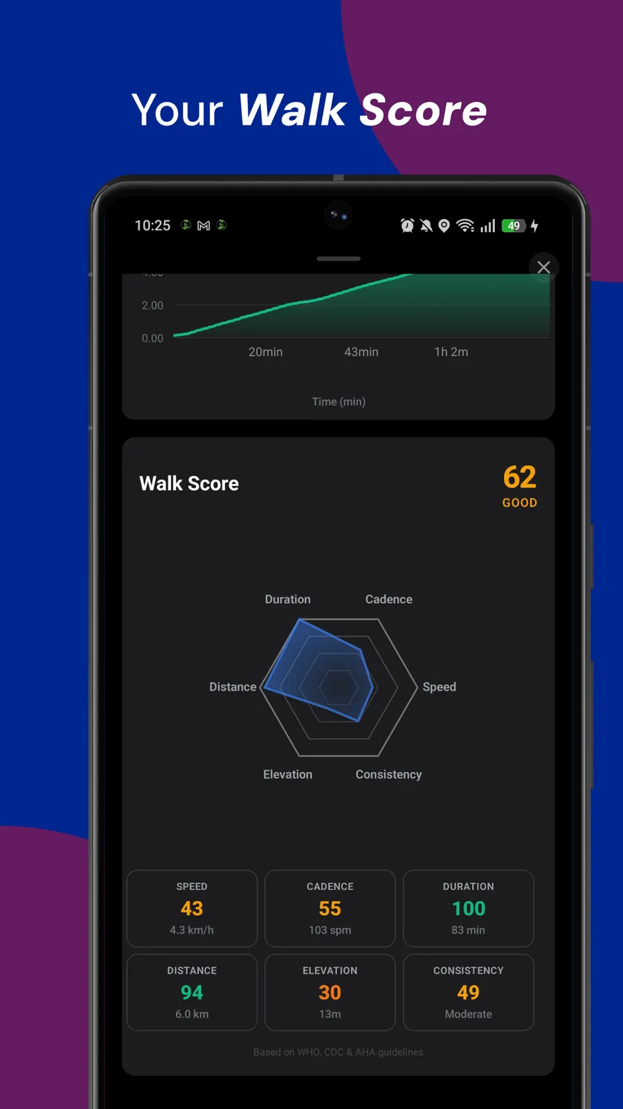
A step counter and walk tracker in the app logs every walk you take, on your own or with the group.
Games and ideas to take on your next walk, with or without the app.
GPS Doodle is coming to Walk With Me. My tips for a higher match score: choosing the shape and the streets, sizing it right and walking every corner. Read the full guide
My best Geo Guessing tips: read the photo before the map, spend the weekly hint on the right round, and post photos people love to guess. Read the full guide
A GPS drawing walking game: you place a shape on the map, the app turns it into a walkable loop, and the route you walk draws the picture.
GPS drawing, sometimes called GPS art, has been around for as long as walkers and runners have carried GPS. People plan routes that trace animals or spell words, then share the map afterwards. The hard part has always been the planning: hours bent over a map, trying to fit a heart around real streets.
GPS Doodle does the planning for you. You put the shape where you want it, the app finds the streets that trace it best, and it tells you how good the fit is before you take a step. After that it's just a walk, with a picture at the end of it.