



Google Play
Looking forward to finding some local walks in my city, cool idea.
Google Play review
Android user
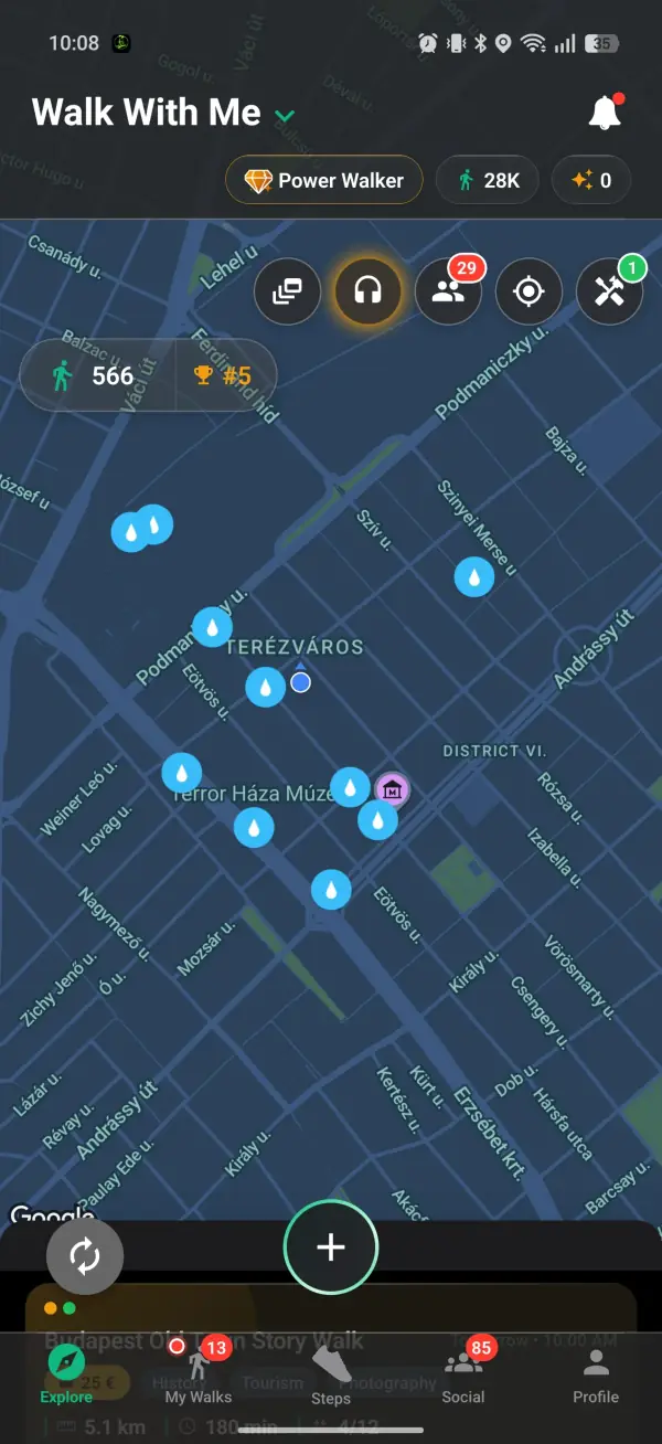
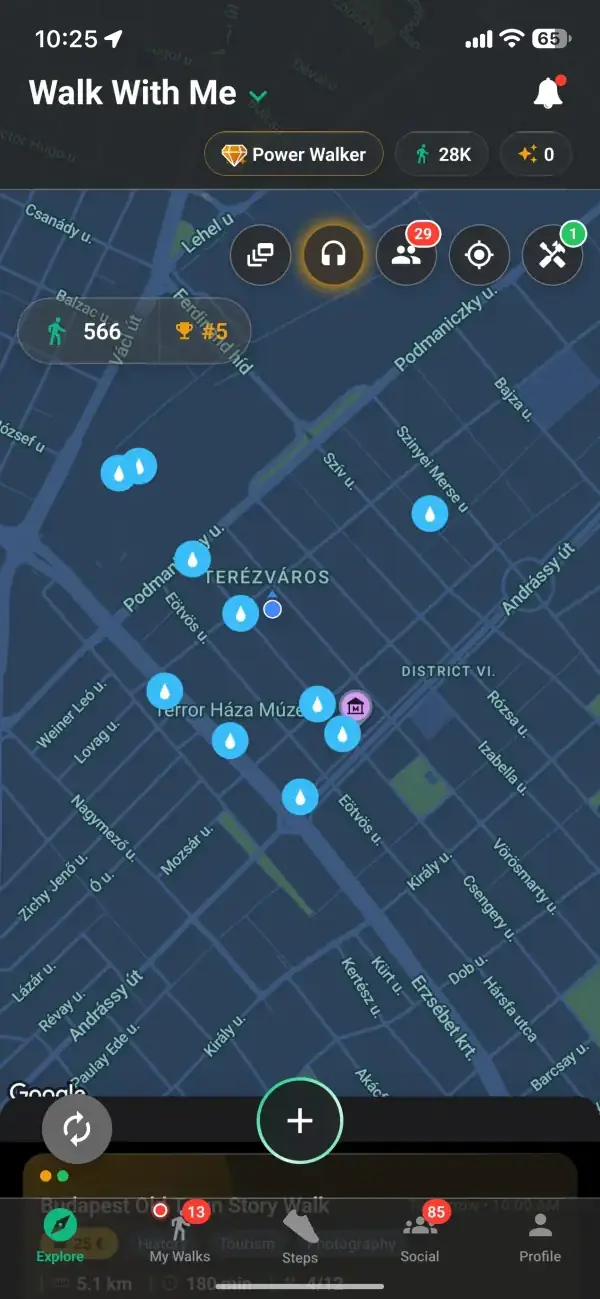
Switch on the water layer in Walk With Me and the nearest drinking fountains appear on the map around you. Tap one for a walking route straight to it. Free on iOS and Android.
Real reviews from walkers, on the app stores and right here on the web.
Looking forward to finding some local walks in my city, cool idea.
Google Play review
Android user
I really like the idea. Seems like I'm the first walker in my city, but the concept is exactly what I wanted.
Google Play review
Bucharest
This app helped me leave the house and touch some grass, for real for real.
Google Play review
Android user
Walk With Me is your all-in-one walking app that lets you find walkers in your area and walk together.
A few taps from a thirsty moment to a fountain on the map.
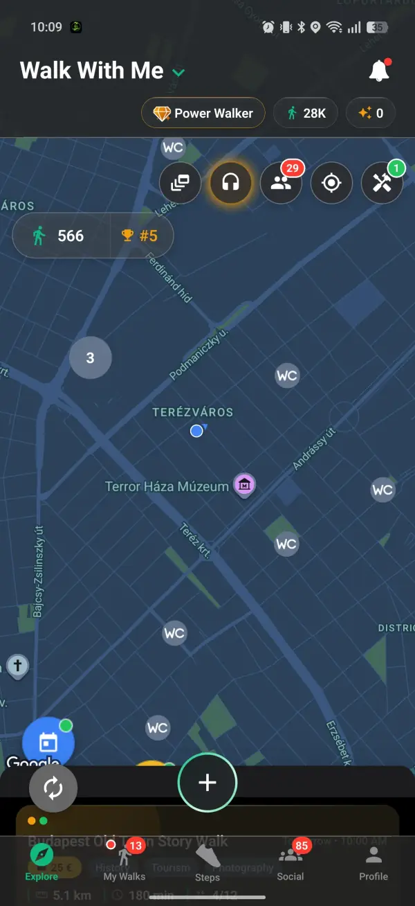
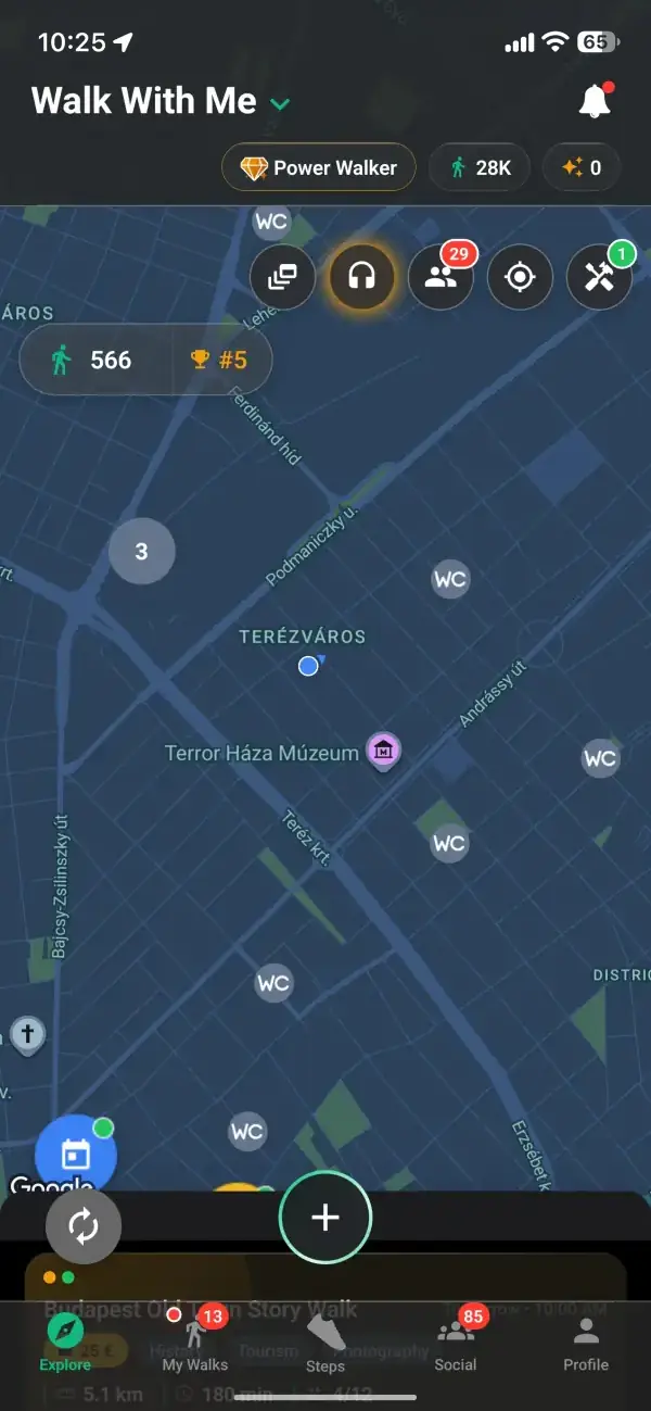
Everything starts on the Explore map. Tap the Tools button in the top-right row and a column of tools drops down; Water fountains is one of them. Turn it on and blue drops appear for the nearest drinking fountains and refill points, up to ten within about 1.5 km of you. Where several sit close together they group into one numbered bubble until you zoom in. The setting is remembered, so the drops are already waiting the next time you open the app.
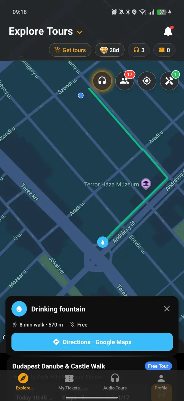
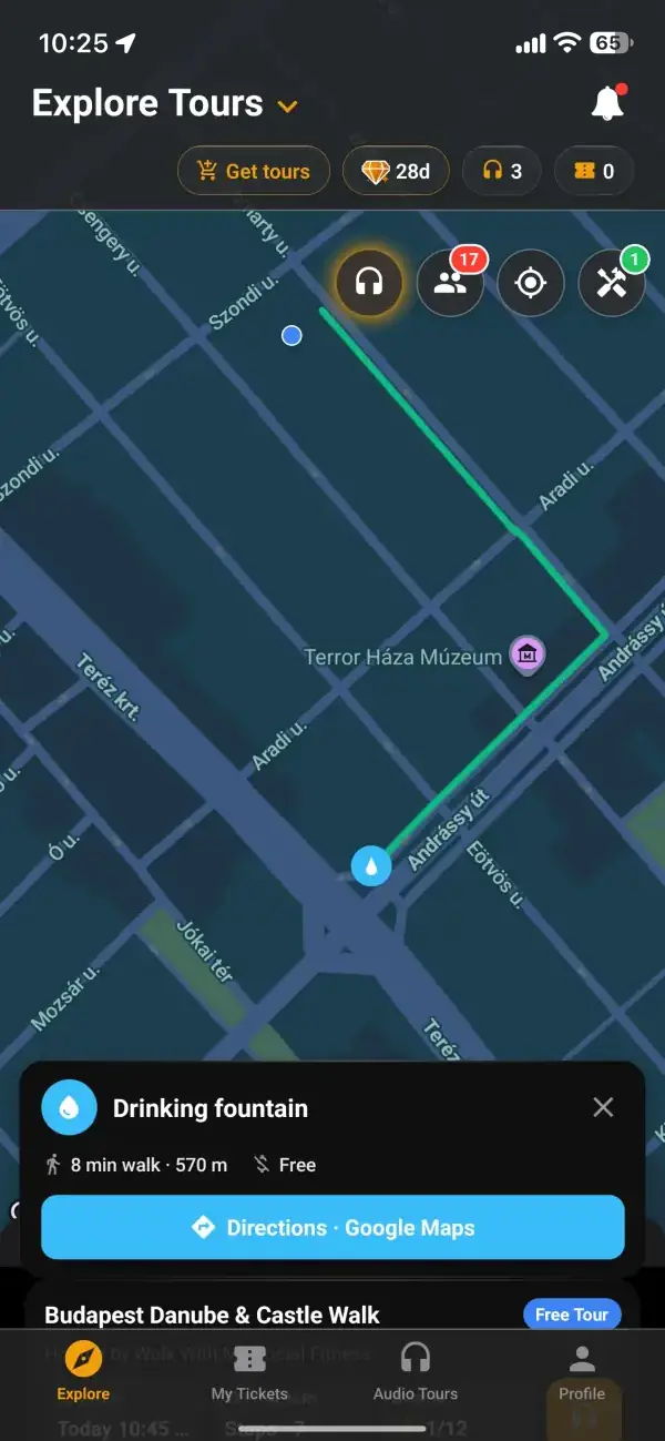
Tap any drop and a card slides up with what the map knows about it: how many minutes' walk away it is and how far, and tags such as Free, Bottle refill, Accessible or opening hours when they have been recorded. The walking route is drawn on the map from where you stand, and the distance counts down as you go. Prefer turn-by-turn? The Directions button hands the trip to Google Maps on foot.
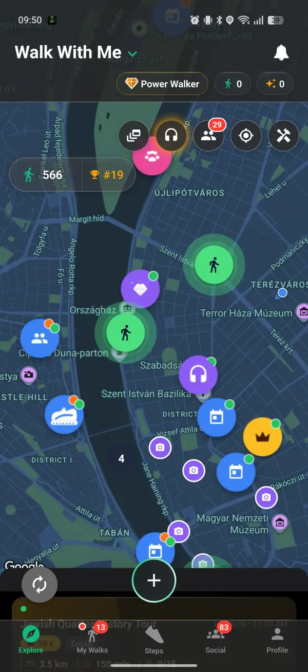
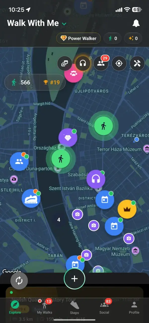
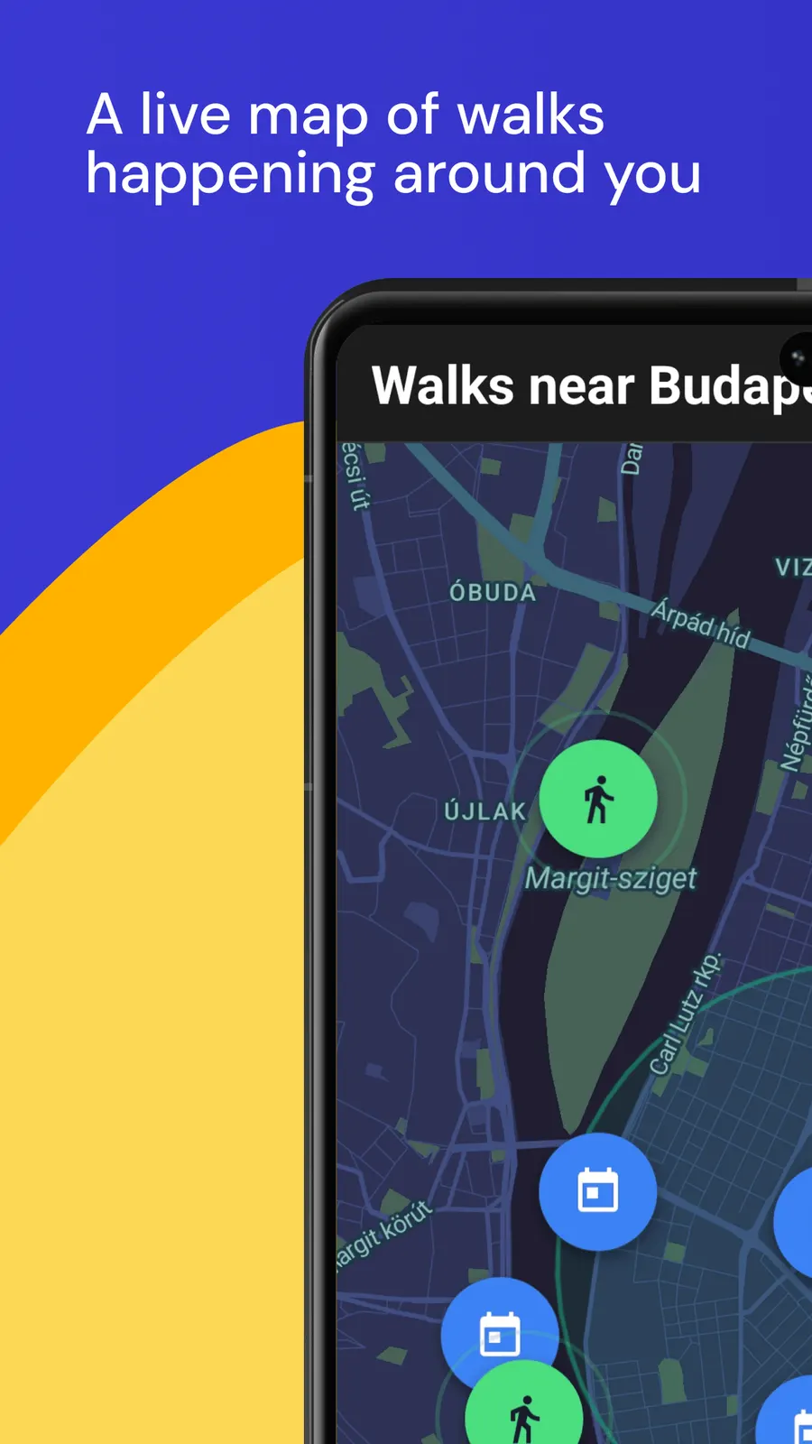
Knowing where the next refill is changes how far you are willing to go, especially on a hot afternoon or a long day of sightseeing. The same map shows the walks happening around you, so you can join a group heading out or start your own with the fountains along the way already in view. Turn on the toilet layer too, and the two together make a much longer loop feel easy to plan.
Find public toilets near youFrom download to your first group walk in minutes.
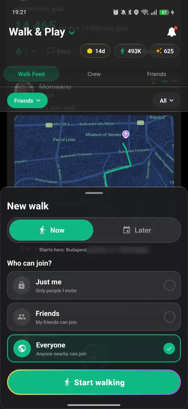
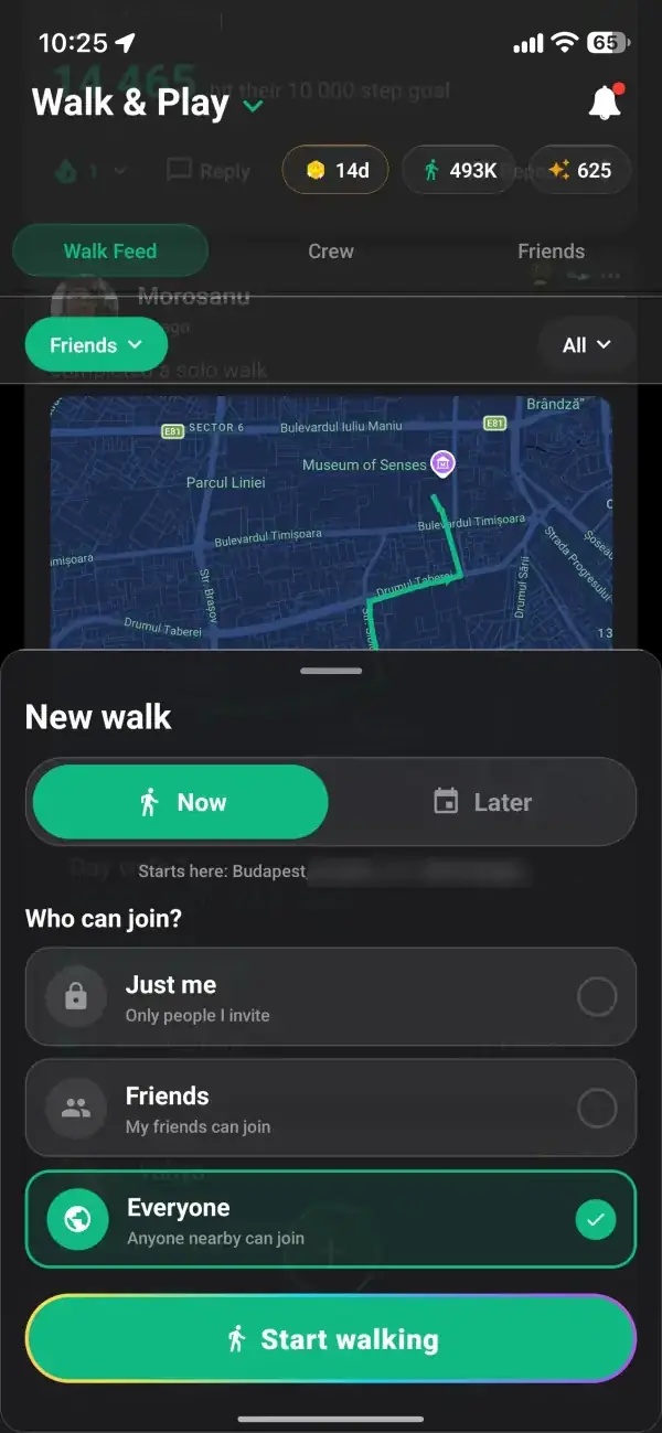
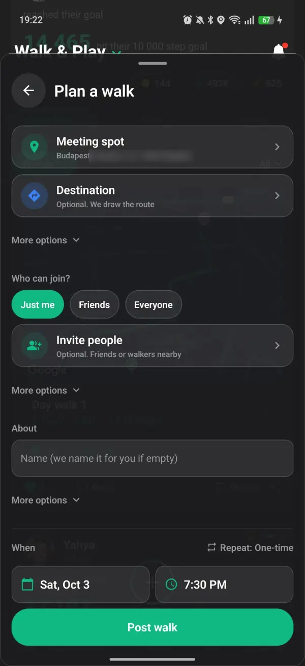
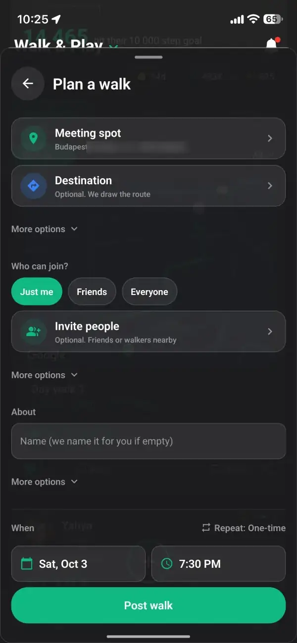
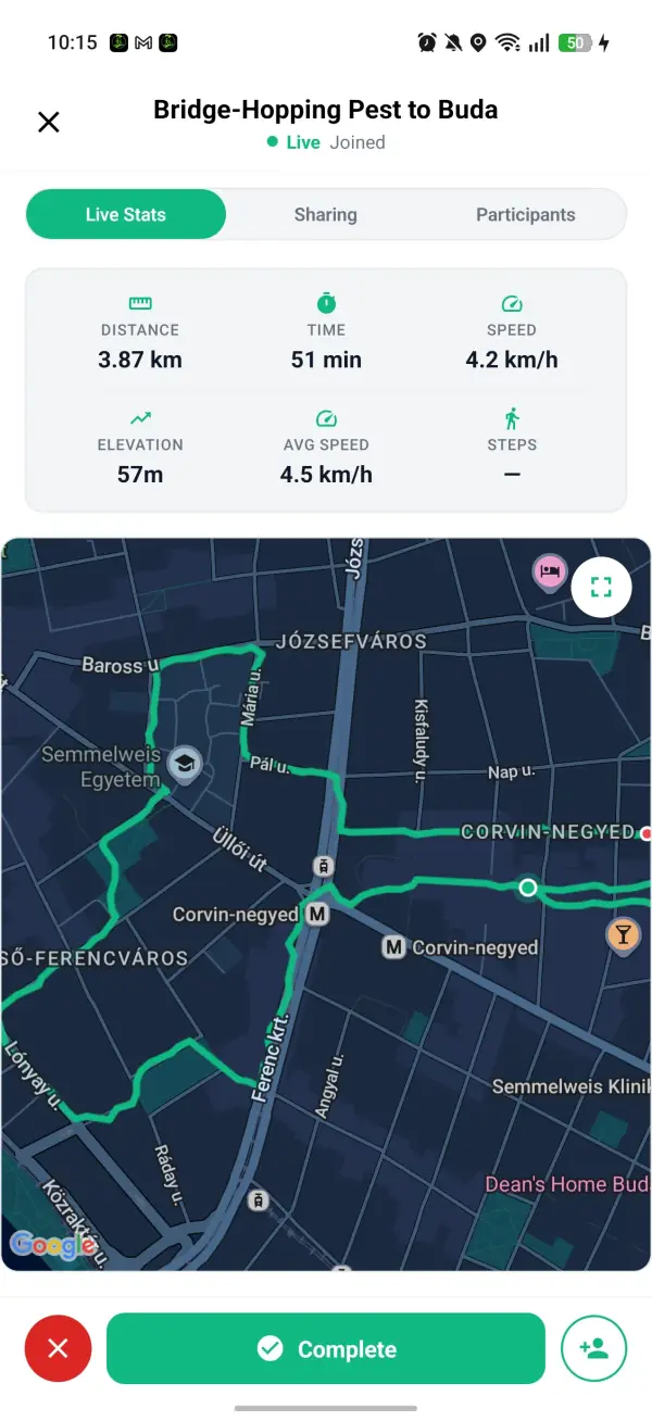
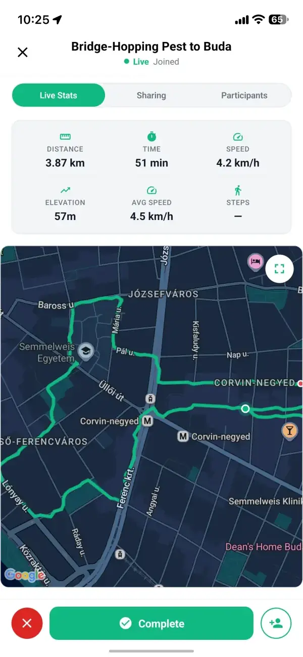
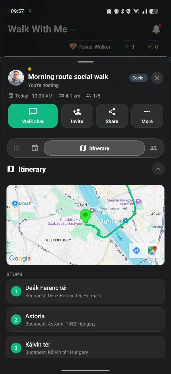
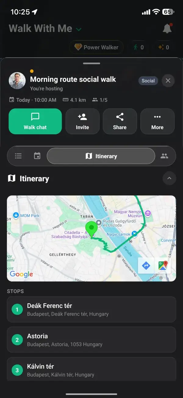
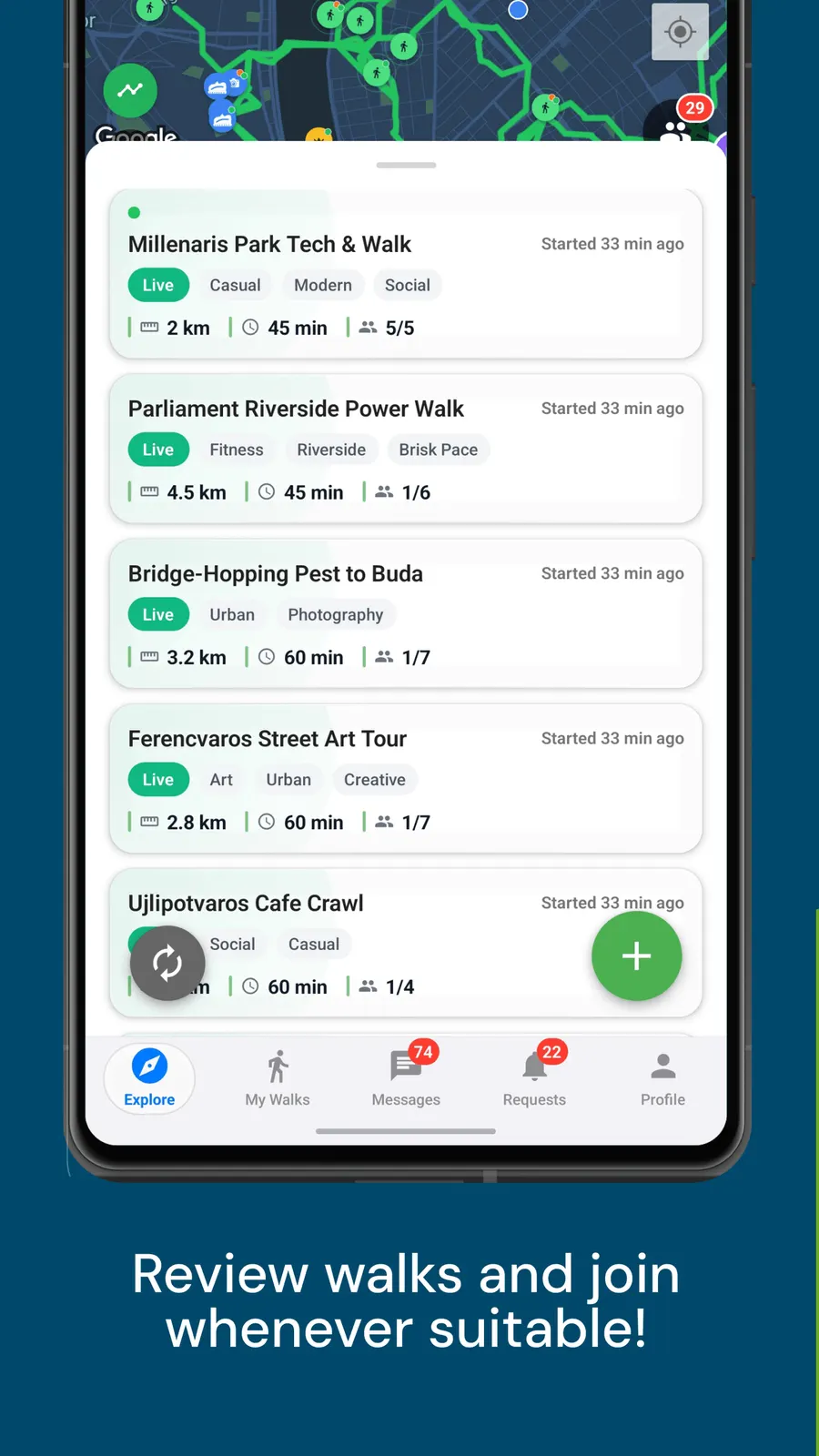
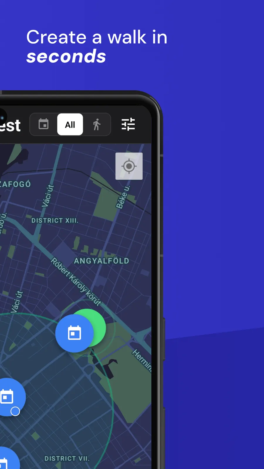
Open the map and see walks happening around you, then tap one for the time, the route and who is going.
Your safety and comfort are at the heart of everything we build.
A map layer that shows public drinking fountains and water refill points near where you are, so you can find water on foot.
Running out of water halfway through a long walk is one of those small things that can cut a good day short. Walk With Me has a water fountain layer on its Explore map: one tap and the nearest drinking fountains and refill points around you show up as blue drops, so you can plan a refill instead of hoping to stumble on one.
Open the Tools button on the Explore map and tap Water fountains to see the ten nearest within about 1.5 km.
Tap a drop to see how many minutes' walk away it is, whether it suits a bottle refill, and the walking route there.
The fountain data comes from OpenStreetMap, the free map that volunteers keep up to date around the world.
Behind the layer is OpenStreetMap, the free world map where volunteers tag drinking fountains, water points and taps marked as safe to drink. That makes coverage strongest in cities and parks where lots of people map, and thinner in quiet rural areas. If a fountain you know is missing, anyone can add it to OpenStreetMap, and over time it reaches everyone who uses the map.
The layer looks around your real GPS position rather than wherever the map happens to be centred, so it is built for the walk you are on right now. If you have covered a lot of ground since you turned it on, switch it off and on again to search from where you are now. Your choice is remembered, so it is still on the next time you open the app.