October 2, 2026 · 6 min read
Geo Guessing Tips to Win More Rounds
My best Geo Guessing tips: read the photo before the map, spend the weekly hint on the right round, and post photos people love to guess.
657
September 23, 2026 · 8 min read
GPS drawing is what happens when you treat your route as a pen and your city as the paper. You plan a shape on a map, walk it with a tracker running, and when you get home the line on your screen is a heart, a fish or a giant letter. It's part puzzle, part art project and part excuse to walk streets you'd never pick. Below are the GPS drawing walk ideas that work best for beginners, plus how to plan one so it doesn't come out looking like spaghetti. If you like this sort of thing, our walking games guide has plenty more ways to make a walk playful.
Your phone records your position every few seconds while a route tracker is running. String those points together and you get a line. Walk in a shape and the line takes that shape. That's it.
The catch is that you can only walk where there are streets and paths. So you're not drawing freehand. You're finding a picture that already exists in the street grid, then walking it. That's why the planning is the fun part, and why the same shape is easy in one city and impossible in another.
Any app that records a walk and shows the route on a map works. A running or hiking tracker is fine, as is a sports watch. Make sure the setting that saves your route is on before you start, and check it at the first corner.
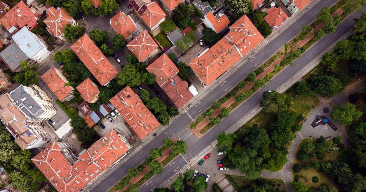
The single biggest factor in GPS art is the street layout under you.
Grid cities and suburbs are the easiest. Straight streets at right angles give you clean letters, numbers, boxes and stairs. If you live somewhere with a grid, start with block letters.
Old towns with winding streets are harder but give you curves. Hearts, fish and animal shapes are easier where the streets already bend.
Parks with path networks are great for small, neat drawings, especially circles and loops, because the paths often curve and cross.
Here's the non-obvious tip: zoom the map out further than feels natural when you plan. Small drawings in a few blocks come out muddy, because GPS drifts by a few metres and corners blur. A shape that spans a couple of kilometres looks crisp on the finished map.
A letter from your name. L, T, E and H are the easiest on a grid, since they're nothing but straight lines and right angles. The first letter of someone's name makes a lovely birthday surprise.
A heart. The classic GPS drawing. Look for two curving streets that meet at a point at the bottom, and a dip at the top. Many parks have a heart hiding in their paths.
An arrow or a star. An arrow is just a straight street with two short diagonals at one end. A star needs diagonal streets, which is hard on a grid and easier in older towns.
Steps. On a grid, zigzag one block right, one block up, again and again. It's the easiest "picture" there is and a good first walk to learn how the tracker behaves.
A smiley face. Walk a big loop for the head, then two tiny loops for eyes. The eyes are the hard bit, so pick a neighbourhood with small cul-de-sacs or a square you can circle.
Under an hour: a single letter, a heart in a park, or a simple arrow. Good for learning how much GPS drift your phone has.
One to two hours: a short word, a fish, a cat's face with pointy ears, or a house shape with a triangle roof.
Half a day: a whole name, an animal outline, or a message for someone. People have walked marriage proposals this way.
A group project: split a long word between friends, one letter each, all walked on the same afternoon. Put the screenshots side by side when you're done.
Starting the tracker late. The first corner is often the most important line in the shape. Start it before you take a step.
Drawing too small. Covered above, but it's the most common problem. If the shape fits in four blocks, it'll come out wobbly.
Forgetting about one-way paths and closed gates. A park gate that's locked in the evening can ruin a heart. Check the route at the time of day you plan to walk it.
Walking it with your head down. Write the turns down so you can look up. You're still on a walk, with traffic and other people, and the street is more interesting than the map anyway.
Over-editing the result. A little wobble is part of the charm. Most GPS art fans share their drawings exactly as recorded.
The fun of GPS art is showing it. Screenshot the route map and send it to the person it's for, or post it with the shape as a caption so people can see what you were going for before they squint at it.
If you'd like company for a long drawing, a friend makes the planning twice as fun and the walk go twice as fast. That's what Walk With Me is for: you can schedule a walk, set a route with stops, and let friends join you. Grab a friend, pick a letter, and see what your street grid lets you draw. Walk With Me is free on iOS and Android.
October 2, 2026 · 6 min read
My best Geo Guessing tips: read the photo before the map, spend the weekly hint on the right round, and post photos people love to guess.
October 2, 2026 · 7 min read
GPS Doodle is coming to Walk With Me. My tips for a higher match score: choosing the shape and the streets, sizing it right and walking every corner.
October 2, 2026 · 7 min read
Mystery Destination is coming to Walk With Me. My tips for solving it faster: reading the compass, trusting the warmth bands and choosing where to start.