October 11, 2026 · 9 min read
Amsterdam Anne Frank Walking Tour
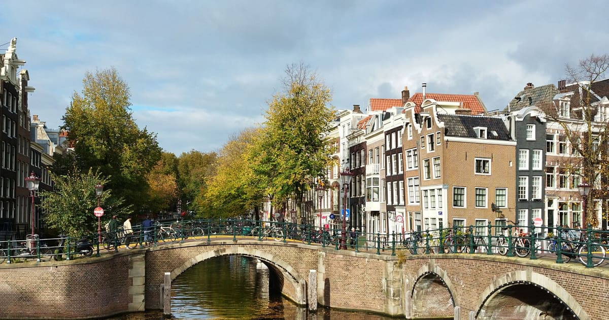
From the Hollandsche Schouwburg through the old Jewish Quarter, past the Dockworker and the Dam, to the Anne Frank House on the Prinsengracht.
589
October 9, 2026 · 9 min read

 Friends walk free
Every tour also runs as a scheduled group walk you can join in the app.
More audio tours in Mexico City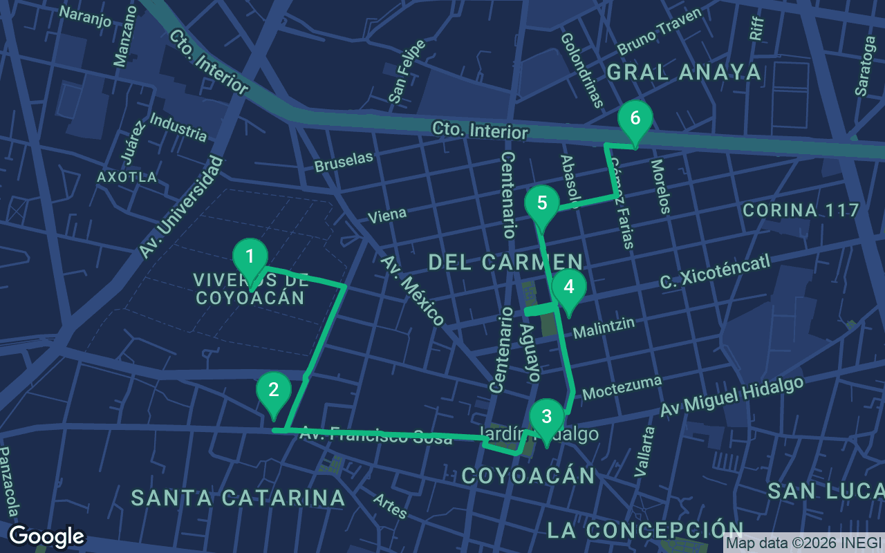
About 3.4 km, roughly 47 minutes at an easy pace.
This tour is narrated
Press play on the first 3 stops for a 30-second demo of the narration. In the app, the intro and those 3 stops play in full for free, each one chiming as you arrive. The whole narrated tour is yours for $8.99, a one-time purchase you keep for good.
Works with Garmin, Komoot, Strava, OS Maps and any GPX app.
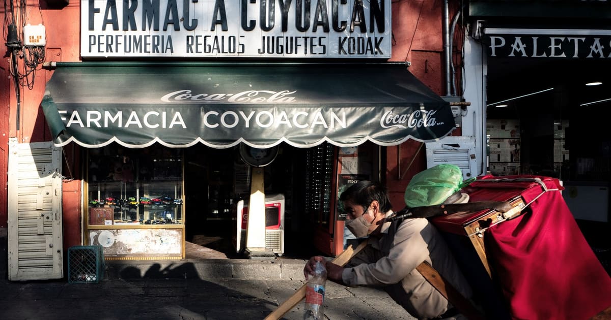
Coyoacán was a village long before it was a neighborhood, and in its best corners it still feels like one. The vast city grew out and swallowed it in the twentieth century, but it kept its cobbled streets, its tree shaded plazas, its colonial churches and a slower pace of life, and it drew artists, writers and political exiles who wanted to live close to the capital without living in it. This walk starts among the trees of the Viveros park, follows the old street of Francisco Sosa to the twin plazas at the village center, stops at the market for something to eat, and ends at the two most famous houses in the neighborhood: the blue house where Frida Kahlo was born and died, and the fortified home where Leon Trotsky spent his last months. It is about two and a half to three kilometers, under two miles, flat and leafy all the way, and one of the gentlest self-guided walking tours you can do in the city.
Allow three hours or more, since the Frida Kahlo museum alone can easily fill an hour and the market will tempt you to sit down. The route is flat, on cobbles and old stone sidewalks that are uneven in places and lifted by tree roots, so wear comfortable shoes. Mexico City sits at about 2,240 meters, some 7,300 feet, so if you have just arrived take it slowly, drink plenty of water, and save this walk for your second or third day if you can. The sun is strong at this altitude, but much of the route is shaded by trees. From roughly June to September, afternoon rain is common, so mornings are best. Tickets for the Frida Kahlo museum regularly sell out, often days ahead, so book online well before you go, and check opening times for both museums. Weekends are when Coyoacán is at its liveliest, and on Sundays the plazas fill with families, musicians and vendors. That is part of the charm, but if you want quiet streets, come on a weekday morning.
Start inside the Viveros de Coyoacán, a large walled park filled with rows of young trees and a running track that loops around its edge. Stand under the trees for a minute and listen: joggers padding past, the rustle of the squirrels that live here in large numbers and come very close to anyone who looks like they might have food. The park is still a working tree nursery, which is what viveros means, and the rows of saplings around you are grown to be planted in the city's streets and parks. It was created in the early twentieth century by Miguel Ángel de Quevedo, an engineer who spent his life campaigning to protect Mexico's forests and plant trees in a city that was cutting them down. Mexicans still call him the Apostle of the Tree, and a busy avenue a few blocks south of here carries his name. For local people this is a beloved place for an early run or a slow walk before the day heats up, and you will see everyone from serious athletes to grandparents doing gentle stretches. Take a slow lap if you like. Then leave by the park's southern side and walk south for about eight minutes, toward the cobbled street of Francisco Sosa, where a small square opens up in front of a yellow chapel.
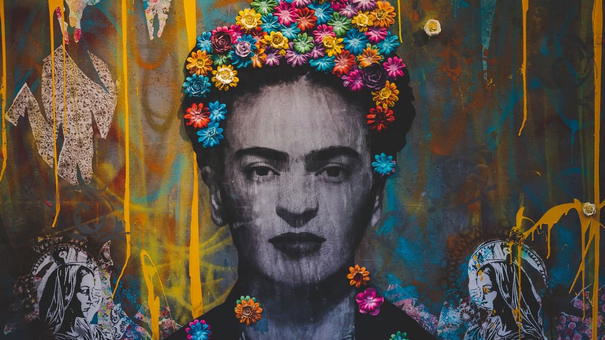 This small, peaceful square is Plaza Santa Catarina, and the chapel in front of you, painted a warm mustard yellow, is a simple colonial church that has served this corner of the village for centuries. Old trees shade the benches, and on a weekday morning you may have it almost to yourself. The cobbled street running past it is Francisco Sosa, which is often described as one of the first streets the Spanish laid out in the Americas, and it still follows its old line from here to the center of the village. Look along it at the houses: thick walls painted in deep reds, ochres and blues, heavy wooden doors, and through the occasional open gate a glimpse of a courtyard full of plants. Many of these houses belonged to well off families who came out from the city in search of fresh air and space, and later to artists and writers. Octavio Paz, the poet who won the Nobel Prize in Literature, spent his last years in one of the old houses along this street. Facing the square, a handsome old building now serves as a cultural center, often with an exhibition or a workshop going on in its courtyard. From here, follow Francisco Sosa east for about twelve minutes, past the old houses and garden walls, until it comes out under a pair of stone arches into the village center.
You come out into Coyoacán's twin plazas. Pause first in the Jardín Centenario and find the fountain with two bronze coyotes, a nod to the name Coyoacán, which is usually translated from Nahuatl as the place of the coyotes. Then cross into the larger Plaza Hidalgo and face the church on its southern side, the Parroquia de San Juan Bautista. The two stone arches you walked under were once part of the entrance to its grounds. Coyoacán was a town long before the Spanish arrived, and after the fall of Tenochtitlan, Hernán Cortés made his headquarters here for a while as the conquered capital was rebuilt. Dominican friars began this church in the sixteenth century, and it has been rebuilt and decorated many times since. The facade is fairly restrained, but step inside if a service is not under way and look at the gilded side chapels and altarpieces, and the painted ceilings overhead. It remains the heart of local life, so on a weekend you may well find a wedding, a baptism or a quinceañera celebration spilling out onto the steps. On Sundays the plazas around you fill with balloon sellers, clowns, churros, ice cream and families out for the afternoon. When you are ready, walk north from the plazas along Allende street for about six minutes to the market.
What's included
Our tours are made to be meditative and immersive: you keep moving and simply listen. They're always better together, and the app plays the narration in sync, so you, your partner and your friends hear every stop at the same moment.
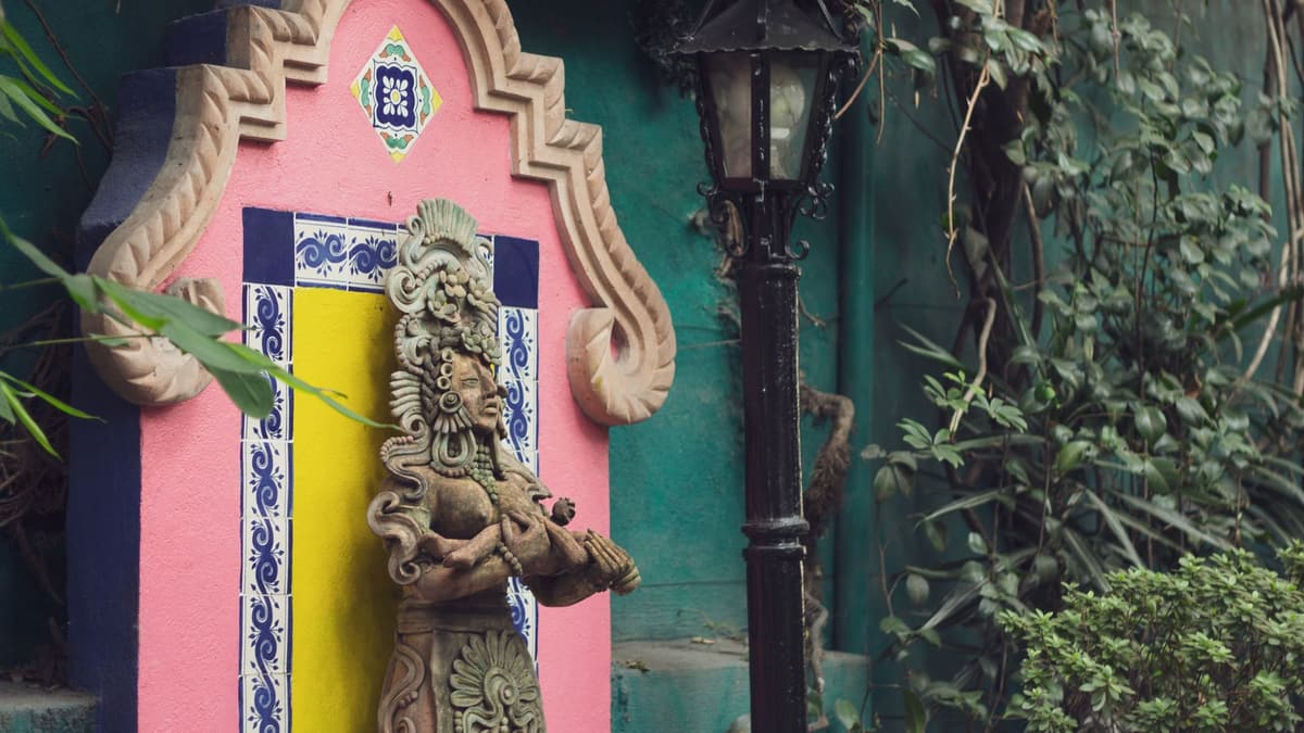
The Mercado de Coyoacán is a covered neighborhood market, and the best way to see it is slowly and hungry.
The rest of this stop is in the full audio tour.
That cobalt blue house on the corner is La Casa Azul, now the Museo Frida Kahlo. Frida Kahlo was born here in 1907, in a house her father, the photographer Guillermo Kahlo, had built a few years before, and she died here in 1954.
The rest of this stop is in the full audio tour.
The walk ends at the Museo Casa de León Trotsky, and the high walls and the old watchtowers tell you straight away that this was no ordinary home.
The rest of this stop is in the full audio tour.
Do this walk with other people on the next scheduled tour.
About 3.4 km, roughly 47 minutes at an easy pace · 6 stops
Friends walk freeOctober 11, 2026 · 9 min read
From the Hollandsche Schouwburg through the old Jewish Quarter, past the Dockworker and the Dam, to the Anne Frank House on the Prinsengracht.
October 11, 2026 · 11 min read
From Van Houten's street by the Vondelpark past Leidseplein, the Rijksmuseum passage and the famous canal bench to the Anne Frank House.
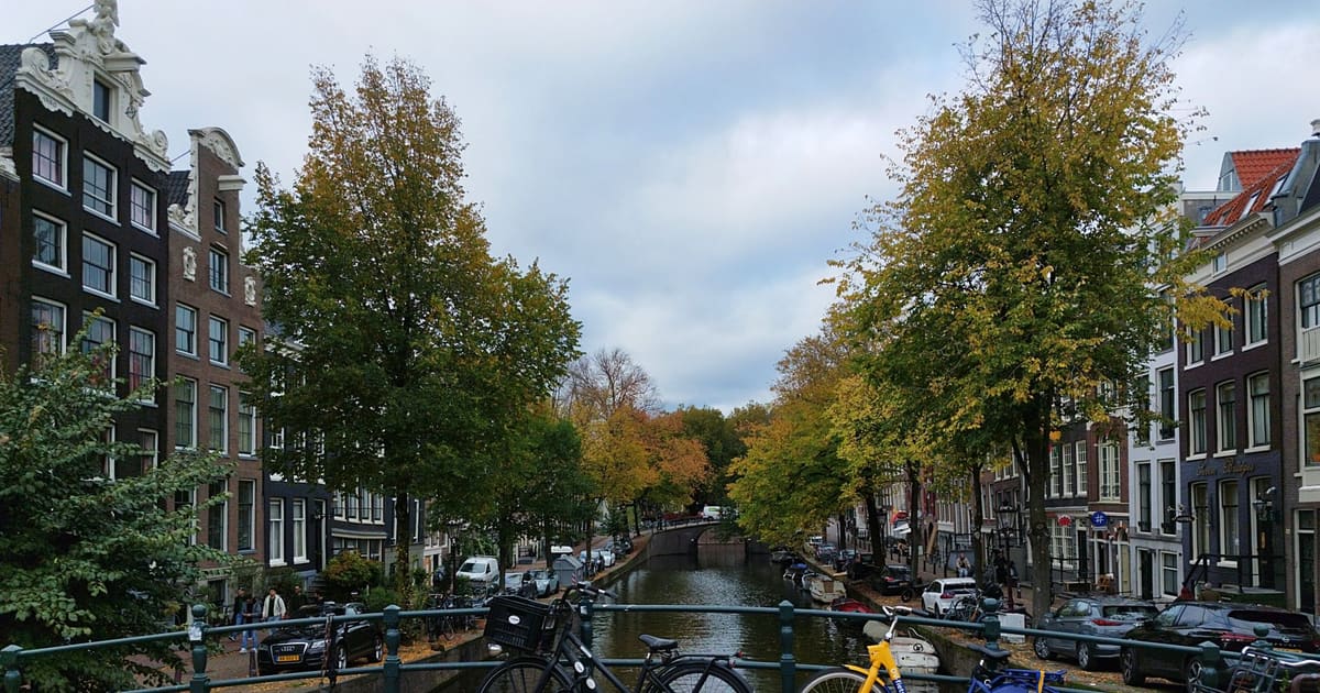
October 11, 2026 · 10 min read
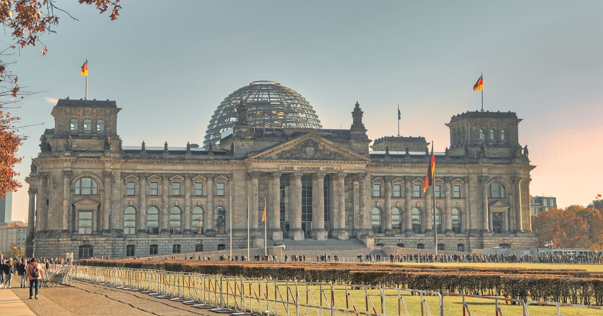
Follow the last days of April and May 1945 from the Anhalter Bahnhof ruin past the Gestapo site and Brandenburg Gate to the Moltke Bridge and the Reichstag.